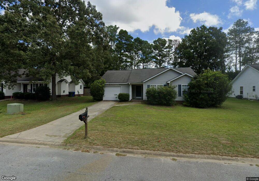
610 Burnside Dr Columbia, SC 29209
The Hamptons NeighborhoodEstimated Value: $225,080 - $241,000
3
Beds
2
Baths
1,288
Sq Ft
$182/Sq Ft
Est. Value
About This Home
This home is located at 610 Burnside Dr, Columbia, SC 29209 and is currently estimated at $234,520, approximately $182 per square foot. 610 Burnside Dr is a home located in Richland County with nearby schools including Meadowfield Elementary School, Hand Middle School, and Dreher High School.
Ownership History
Date
Name
Owned For
Owner Type
Purchase Details
Closed on
Mar 25, 2022
Sold by
Fardella Gabrielle R
Bought by
Stubing John Eric and Stubing Angel Hall
Current Estimated Value
Purchase Details
Closed on
Jul 30, 2004
Sold by
Day Builders Llc
Bought by
Schaich Gabrielle
Home Financials for this Owner
Home Financials are based on the most recent Mortgage that was taken out on this home.
Original Mortgage
$95,200
Interest Rate
6.22%
Mortgage Type
Purchase Money Mortgage
Create a Home Valuation Report for This Property
The Home Valuation Report is an in-depth analysis detailing your home's value as well as a comparison with similar homes in the area
Home Values in the Area
Average Home Value in this Area
Purchase History
| Date | Buyer | Sale Price | Title Company |
|---|---|---|---|
| Stubing John Eric | $192,500 | None Listed On Document | |
| Schaich Gabrielle | $119,000 | -- |
Source: Public Records
Mortgage History
| Date | Status | Borrower | Loan Amount |
|---|---|---|---|
| Previous Owner | Schaich Gabrielle | $95,200 | |
| Closed | Schaich Gabrielle | $23,800 |
Source: Public Records
Tax History Compared to Growth
Tax History
| Year | Tax Paid | Tax Assessment Tax Assessment Total Assessment is a certain percentage of the fair market value that is determined by local assessors to be the total taxable value of land and additions on the property. | Land | Improvement |
|---|---|---|---|---|
| 2024 | $1,459 | $211,600 | $37,500 | $174,100 |
| 2023 | $1,459 | $5,512 | $0 | $0 |
| 2022 | $3,986 | $137,800 | $25,000 | $112,800 |
| 2021 | $4,018 | $8,270 | $0 | $0 |
| 2020 | $4,075 | $8,270 | $0 | $0 |
| 2019 | $4,086 | $8,270 | $0 | $0 |
| 2018 | $3,605 | $7,210 | $0 | $0 |
| 2017 | $3,507 | $7,210 | $0 | $0 |
| 2016 | $3,410 | $7,210 | $0 | $0 |
| 2015 | $3,389 | $7,210 | $0 | $0 |
| 2014 | $3,359 | $120,200 | $0 | $0 |
| 2013 | -- | $7,210 | $0 | $0 |
Source: Public Records
Map
Nearby Homes
- 755 Burnside Dr
- 811 Rockwood Rd
- 509 Burnside Dr
- 206 Hampton Forest Dr
- 404 Hampton Forest Dr
- 411 Hampton Forest Dr
- 1040 Coatesdale Rd
- 1284 Rockwood Rd
- 821 Walters Ln
- 513 Knollwood Dr
- 444 Cami Forest Ln
- 148 Cottage Lake Way
- 6627 Christie Rd
- 174 Preston Green Dr
- 6603 Christie Rd
- 497 Galway Ln
- 6517 Macon Rd
- 225 E Lake Trail
- 813 Greenlawn Dr
- 116 Creek Way Ln
- 616 Burnside Dr
- 606 Burnside Dr
- 600 Burnside Dr
- 609 Burnside Dr
- 615 Burnside Dr
- 605 Burnside Dr
- 619 Burnside Dr
- 566 Burnside Dr
- 601 Burnside Dr
- 623 Burnside Dr
- 562 Burnside Dr
- 751 Burnside Dr
- 627 Burnside Dr
- 747 Burnside Dr
- 563 Burnside Dr
- 558 Burnside Dr
- 743 Burnside Dr
- 631 Burnside Dr
- 559 Burnside Dr
- 759 Burnside Dr