610 Craig Rd Commerce, GA 30530
Estimated Value: $596,000 - $602,000
3
Beds
2
Baths
2,052
Sq Ft
$291/Sq Ft
Est. Value
About This Home
This home is located at 610 Craig Rd, Commerce, GA 30530 and is currently estimated at $598,134, approximately $291 per square foot. 610 Craig Rd is a home with nearby schools including Banks County Primary School, Banks County Elementary School, and Banks County Middle School.
Ownership History
Date
Name
Owned For
Owner Type
Purchase Details
Closed on
Mar 28, 2016
Sold by
Newton Marguerite S
Bought by
Mcclung Tami G and Mcclung Charles K
Current Estimated Value
Purchase Details
Closed on
Oct 27, 2005
Sold by
Newton Marguerite S
Bought by
Hunt David M
Create a Home Valuation Report for This Property
The Home Valuation Report is an in-depth analysis detailing your home's value as well as a comparison with similar homes in the area
Home Values in the Area
Average Home Value in this Area
Purchase History
| Date | Buyer | Sale Price | Title Company |
|---|---|---|---|
| Mcclung Tami G | $65,500 | -- | |
| Hunt David M | $22,320 | -- |
Source: Public Records
Tax History
| Year | Tax Paid | Tax Assessment Tax Assessment Total Assessment is a certain percentage of the fair market value that is determined by local assessors to be the total taxable value of land and additions on the property. | Land | Improvement |
|---|---|---|---|---|
| 2025 | $3,037 | $217,417 | $73,786 | $143,631 |
| 2024 | $3,037 | $203,209 | $67,079 | $136,130 |
| 2023 | $2,963 | $177,402 | $56,726 | $120,676 |
| 2022 | $2,382 | $147,354 | $44,443 | $102,911 |
| 2021 | $2,287 | $130,202 | $37,036 | $93,166 |
| 2020 | $2,083 | $114,770 | $27,400 | $87,370 |
| 2019 | $2,091 | $114,770 | $27,400 | $87,370 |
| 2018 | $1,297 | $79,464 | $27,400 | $52,064 |
| 2017 | $78 | $20,206 | $20,206 | $0 |
| 2016 | $78 | $20,206 | $20,206 | $0 |
| 2015 | $69 | $20,206 | $20,206 | $0 |
| 2014 | $69 | $28,064 | $28,064 | $0 |
| 2013 | -- | $28,064 | $28,064 | $0 |
Source: Public Records
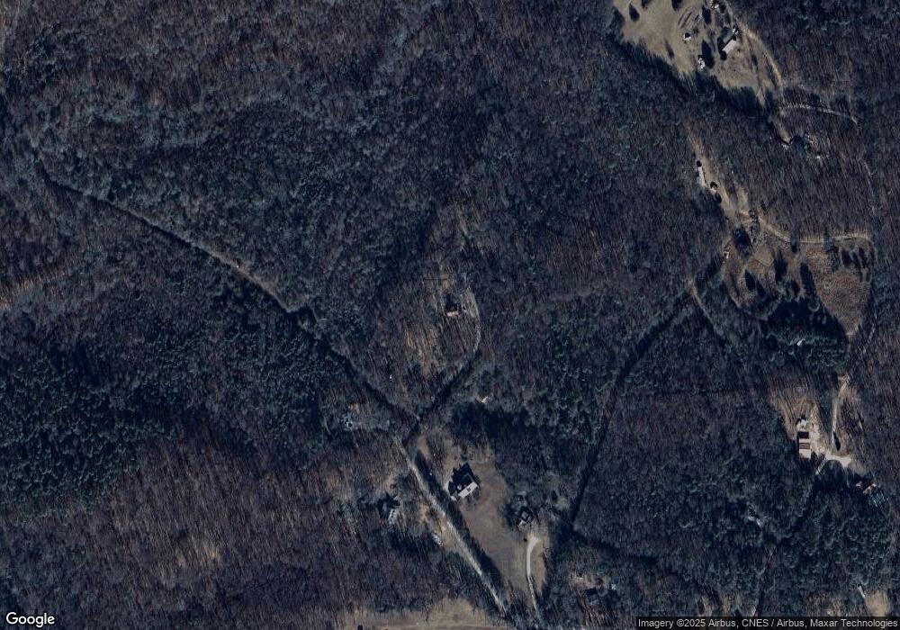
Map
Nearby Homes
- 163 M t Trail
- 0 Lord Road Tract #5 Unit 10693839
- 0 Lord Road Tract #5 Unit CL349237
- 166 Freedom Ln
- 0 Freedom Ln Unit 9B
- 0 Freedom Ln Unit 18C 10380663
- 0 Freedom Ln Unit 9D
- 0 Freedom Ln Unit 9C
- 0 Freedom Ln Unit 18B 10379747
- 0 Freedom Ln Unit 9E
- 482 Hooper Rd
- 3381 Georgia 326
- 731 Borders Rd
- 7527 Highway 326
- 139 Meadow Lake Dr
- 161 Meadow Lake Dr
- 1020 Riverbend Rd
- 0 5 Points Rd Unit TRACT 4
- 775 Riverbend Rd
- 193 Wrights Mill Ln
- 604 Craig Rd
- 599 Craig Rd
- 599 Craig Rd
- 574 Craig Rd
- 564 Craig Rd
- 571 Craig Rd
- 218 Tyrone Rd
- 144 Tyrone Rd
- 472 Craig Rd
- 164 Holly Lake Dr
- 846 Duncan Rd
- 163 M Trail
- 392 Mountain Creek Ln
- 175 Holly Lake Dr
- 570 Duncan Rd
- 840 Duncan Rd
- 530 Duncan Rd
- 902 Duncan Rd
- 0 W L Williams Rd Unit 8443533
- 0 U S Hwy 441 Unit 8441920
Your Personal Tour Guide
Ask me questions while you tour the home.