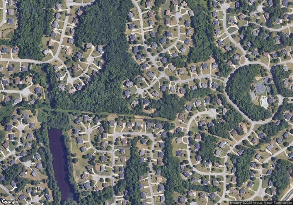
610 Georgetown Ln SW Unit 1 Atlanta, GA 30331
Sandtown NeighborhoodEstimated Value: $590,000 - $693,000
5
Beds
5
Baths
3,704
Sq Ft
$173/Sq Ft
Est. Value
About This Home
This home is located at 610 Georgetown Ln SW Unit 1, Atlanta, GA 30331 and is currently estimated at $639,982, approximately $172 per square foot. 610 Georgetown Ln SW Unit 1 is a home located in Fulton County with nearby schools including Randolph Elementary School, Sandtown Middle School, and Westlake High School.
Ownership History
Date
Name
Owned For
Owner Type
Purchase Details
Closed on
Aug 7, 2019
Sold by
610 Georgetown Lane Llc
Bought by
610 Georgetown Land Trust
Current Estimated Value
Purchase Details
Closed on
May 1, 2018
Sold by
Clark Wayne C
Bought by
610 Georgetown Lane Llc
Purchase Details
Closed on
Aug 30, 2001
Sold by
John Wieland Homes
Bought by
Clark Wayne C
Home Financials for this Owner
Home Financials are based on the most recent Mortgage that was taken out on this home.
Original Mortgage
$325,000
Interest Rate
6.87%
Mortgage Type
New Conventional
Create a Home Valuation Report for This Property
The Home Valuation Report is an in-depth analysis detailing your home's value as well as a comparison with similar homes in the area
Home Values in the Area
Average Home Value in this Area
Purchase History
| Date | Buyer | Sale Price | Title Company |
|---|---|---|---|
| 610 Georgetown Land Trust | -- | -- | |
| 610 Georgetown Lane Llc | $24,000 | -- | |
| Clark Wayne C | $406,700 | -- |
Source: Public Records
Mortgage History
| Date | Status | Borrower | Loan Amount |
|---|---|---|---|
| Previous Owner | Clark Wayne C | $325,000 |
Source: Public Records
Tax History Compared to Growth
Tax History
| Year | Tax Paid | Tax Assessment Tax Assessment Total Assessment is a certain percentage of the fair market value that is determined by local assessors to be the total taxable value of land and additions on the property. | Land | Improvement |
|---|---|---|---|---|
| 2025 | $11,605 | $267,520 | $41,560 | $225,960 |
| 2023 | $7,681 | $272,120 | $44,960 | $227,160 |
| 2022 | $7,724 | $197,000 | $39,640 | $157,360 |
| 2021 | $6,261 | $156,400 | $23,720 | $132,680 |
| 2020 | $6,289 | $154,560 | $23,440 | $131,120 |
| 2019 | $5,995 | $151,800 | $23,000 | $128,800 |
| 2018 | $5,901 | $148,240 | $22,480 | $125,760 |
| 2017 | $4,550 | $111,640 | $20,320 | $91,320 |
| 2016 | $4,551 | $111,640 | $20,320 | $91,320 |
| 2015 | $4,564 | $111,640 | $20,320 | $91,320 |
| 2014 | $4,814 | $111,640 | $20,320 | $91,320 |
Source: Public Records
Map
Nearby Homes
- 1030 Abercorn Dr SW
- 5342 Lakerock Dr SW
- 5317 Lakerock Dr SW
- 905 Abercorn Dr SW
- 555 Stoneglen Chase SW
- 5280 Sandtown Center Blvd SW
- 5617 Casablanca Ln
- 1455 Elva Dr SW
- 0 Reynolds Rd SW Unit 10600058
- 0 Reynolds Rd SW Unit 7645818
- 1880 Reynolds Rd SW
- 0 Boat Rock Rd SW Unit LotWP001 24286540
- 0 Boat Rock Rd SW Unit 10572916
- 0 Boat Rock Rd SW Unit 7472456
- 5655 Campbellton Rd SW
- 355 Wilma Ct SW Unit 2
- 340 Wilma Ct SW Unit 2
- 2145 Enon Mill Dr SW Unit 4
- 1050 Mays Hill SW
- 604 Georgetown Ln SW Unit IIIA
- 620 Georgetown Ln SW
- 0 Georgetown Ln SW Unit 8158857
- 0 Georgetown Ln SW
- 1020 Abercorn Dr SW
- 600 Georgetown Ln SW
- 1040 Abercorn Dr SW
- 630 Georgetown Ln SW Unit I
- 5140 Stone Croft Trail SW
- 615 Georgetown Ln SW
- 625 Georgetown Ln SW
- 1010 Abercorn Dr SW
- 280 Stoneleigh Dr SW
- 1050 Abercorn Dr SW
- 5130 Stone Croft Trail SW
- 1035 Abercorn Dr SW
- 270 Stoneleigh Dr SW
- 1000 Abercorn Dr SW
- 5180 Stone Croft Trail SW
- 290 Stoneleigh Dr SW
