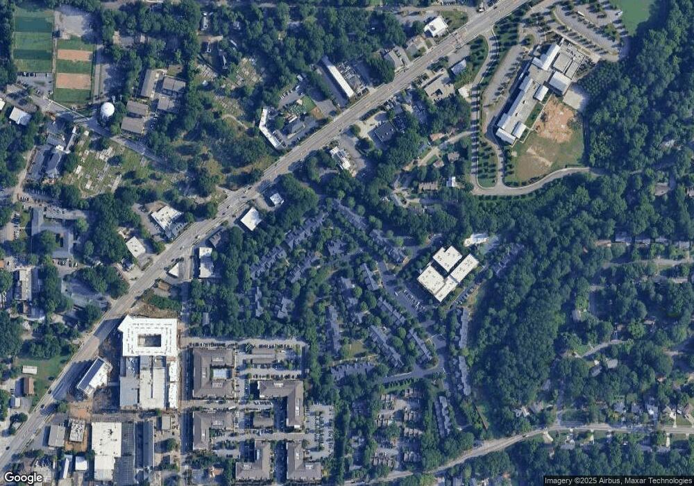
610 Independence Way Unit 301 Roswell, GA 30075
Roswell Historic District NeighborhoodEstimated Value: $570,006 - $634,000
4
Beds
2
Baths
2,596
Sq Ft
$233/Sq Ft
Est. Value
About This Home
This home is located at 610 Independence Way Unit 301, Roswell, GA 30075 and is currently estimated at $606,002, approximately $233 per square foot. 610 Independence Way Unit 301 is a home located in Fulton County with nearby schools including Vickery Mill Elementary, Crabapple Middle School, and Roswell High School.
Ownership History
Date
Name
Owned For
Owner Type
Purchase Details
Closed on
Jun 21, 2002
Sold by
Roswell High Llc
Bought by
Brigida John W and Brigida Walter J
Current Estimated Value
Home Financials for this Owner
Home Financials are based on the most recent Mortgage that was taken out on this home.
Original Mortgage
$200,000
Outstanding Balance
$84,445
Interest Rate
6.79%
Mortgage Type
New Conventional
Estimated Equity
$521,557
Create a Home Valuation Report for This Property
The Home Valuation Report is an in-depth analysis detailing your home's value as well as a comparison with similar homes in the area
Home Values in the Area
Average Home Value in this Area
Purchase History
| Date | Buyer | Sale Price | Title Company |
|---|---|---|---|
| Brigida John W | $250,000 | -- |
Source: Public Records
Mortgage History
| Date | Status | Borrower | Loan Amount |
|---|---|---|---|
| Open | Brigida John W | $200,000 |
Source: Public Records
Tax History Compared to Growth
Tax History
| Year | Tax Paid | Tax Assessment Tax Assessment Total Assessment is a certain percentage of the fair market value that is determined by local assessors to be the total taxable value of land and additions on the property. | Land | Improvement |
|---|---|---|---|---|
| 2025 | $636 | $199,720 | $25,360 | $174,360 |
| 2023 | $5,653 | $200,280 | $22,800 | $177,480 |
| 2022 | $2,686 | $173,160 | $23,600 | $149,560 |
| 2021 | $3,153 | $159,520 | $14,480 | $145,040 |
| 2020 | $3,201 | $139,720 | $18,760 | $120,960 |
| 2019 | $486 | $132,080 | $15,800 | $116,280 |
| 2018 | $3,004 | $118,520 | $17,160 | $101,360 |
| 2017 | $2,347 | $92,400 | $18,000 | $74,400 |
| 2016 | $2,346 | $92,400 | $18,000 | $74,400 |
| 2015 | $2,859 | $92,400 | $18,000 | $74,400 |
| 2014 | $2,030 | $78,960 | $11,600 | $67,360 |
Source: Public Records
Map
Nearby Homes
- 1315 Freedom Ln
- 920 Freedom Ln Unit 1501
- 2110 Constitution Ct
- 707 Roswell Landings Dr
- 250 Blessing Way
- 1920 Liberty Ln
- 1195 Minhinette Dr Unit J
- 117 Bridgecrest Rd Unit 24
- Brayton Plan at The Groves at Myrtle
- 119 Bridgecrest Rd
- 121 Bridgecrest Rd
- Blake Plan at The Groves at Myrtle
- 117 Bridgecrest Rd
- 121 Bridgecrest Rd Unit 26
- 104 Bridgecrest Rd
- 7307 Saint Charles Square
- 1052 Sasha Ln
- 1144 Canton St Unit 205
- 108 Canton Way
- 1010 Sasha Ln
- 600 Independence Way
- 605 Independence Way
- 605 Independence Way Unit 605
- 0 Independence Way
- 1420 Liberty Ln Unit 105
- 1420 Liberty Ln Unit 1420
- 1400 Liberty Ln
- 1415 Liberty Ln
- 1500 Liberty Ln
- 1500 Liberty Ln Unit 1500
- 1505 Liberty Ln Unit 202
- 1315 Freedom Ln Unit 1315
- 1405 Liberty Ln
- 100 Independence Way
- 100 Independence Way Unit 100
- 1520 Liberty Ln
- 1520 Liberty Ln Unit 1520
- 115 Independence Way
- 1410 Liberty Ln
- 520 Independence Way
