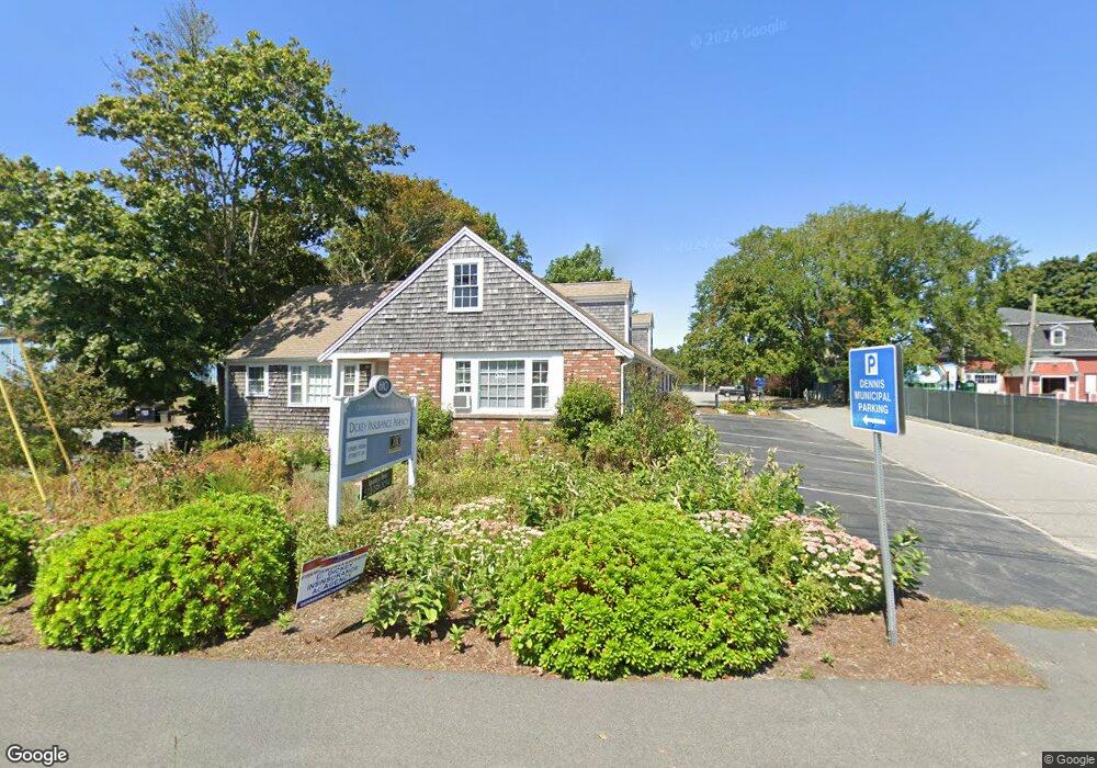
610 Main St Dennis Port, MA 2639
Dennis Port NeighborhoodEstimated Value: $518,803
--
Bed
--
Bath
3,228
Sq Ft
$161/Sq Ft
Est. Value
About This Home
This home is located at 610 Main St, Dennis Port, MA 2639 and is currently estimated at $518,803, approximately $160 per square foot. 610 Main St is a home located in Barnstable County with nearby schools including Dennis-Yarmouth Regional High School and St. Pius X. School.
Ownership History
Date
Name
Owned For
Owner Type
Purchase Details
Closed on
Jun 13, 2016
Sold by
C M Dennis Rt and Mcadams
Bought by
Bayside Studio Llc
Current Estimated Value
Purchase Details
Closed on
Jan 8, 2016
Sold by
Dennis Port Building N and Smith
Bought by
610 Main Street Nt and Remy
Purchase Details
Closed on
Apr 28, 2015
Sold by
Cape Partners Realty L
Bought by
Cm Dennis Rt and Mcadams
Create a Home Valuation Report for This Property
The Home Valuation Report is an in-depth analysis detailing your home's value as well as a comparison with similar homes in the area
Home Values in the Area
Average Home Value in this Area
Purchase History
| Date | Buyer | Sale Price | Title Company |
|---|---|---|---|
| Bayside Studio Llc | $250,000 | -- | |
| Bayside Studio Llc | $250,000 | -- | |
| 610 Main Street Nt | $395,000 | -- | |
| 610 Main Street Nt | $395,000 | -- | |
| Cm Dennis Rt | $175,000 | -- | |
| Cm Dennis Rt | $175,000 | -- |
Source: Public Records
Tax History Compared to Growth
Tax History
| Year | Tax Paid | Tax Assessment Tax Assessment Total Assessment is a certain percentage of the fair market value that is determined by local assessors to be the total taxable value of land and additions on the property. | Land | Improvement |
|---|---|---|---|---|
| 2025 | $2,294 | $529,900 | $233,900 | $296,000 |
| 2024 | $2,240 | $510,300 | $225,400 | $284,900 |
| 2023 | $2,269 | $485,800 | $214,700 | $271,100 |
| 2022 | $2,566 | $458,200 | $202,600 | $255,600 |
| 2021 | $2,674 | $443,400 | $198,600 | $244,800 |
| 2020 | $2,654 | $435,100 | $196,300 | $238,800 |
| 2019 | $2,559 | $414,700 | $178,400 | $236,300 |
| 2018 | $2,642 | $416,700 | $178,400 | $238,300 |
| 2017 | $2,459 | $399,800 | $178,400 | $221,400 |
| 2016 | $2,466 | $377,700 | $160,600 | $217,100 |
| 2015 | $2,496 | $390,000 | $160,600 | $229,400 |
| 2014 | -- | $334,300 | $160,600 | $173,700 |
Source: Public Records
Map
Nearby Homes
- 47 Telegraph Rd Unit 1
- 9 Country Ln
- 10 Candlewood Ln Unit 2-1
- 12 Candlewood Ln Unit 2-9
- 12 Candlewood Ln Unit 1-6
- 141 Division St
- 141 Division St
- 73 Division St
- 12 Cross St
- 45 Route 28
- 148 Belmont Rd
- 104 Toms Path
- 104 Toms Path
- 79 Massachusetts 28
- 9 Bells Neck Rd Unit 10
- 78 Upper County Rd Unit A&B
- 78 Upper County Rd
- 11 Lane Rd
- 9 Mansion St
- 91 Depot Rd W
- 616 Main St Unit B
- 616 Main St
- 608 Main St
- 608 Massachusetts 28
- 227 Upper County Rd
- 640 Main ( Rte 28 )
- 626 Main St
- 645 Main St
- 645 Main St
- 636 Main St
- 17 Telegraph Rd
- 202 Upper County Rd Unit RD
- 202 Upper County Rd Unit 2
- 202 Upper County Rd
- 2 Telegraph Rd
- 8 South St
- 8 South St Unit 1
- 237 Upper County Rd
- 613 Main St
- 221 Upper County Rd