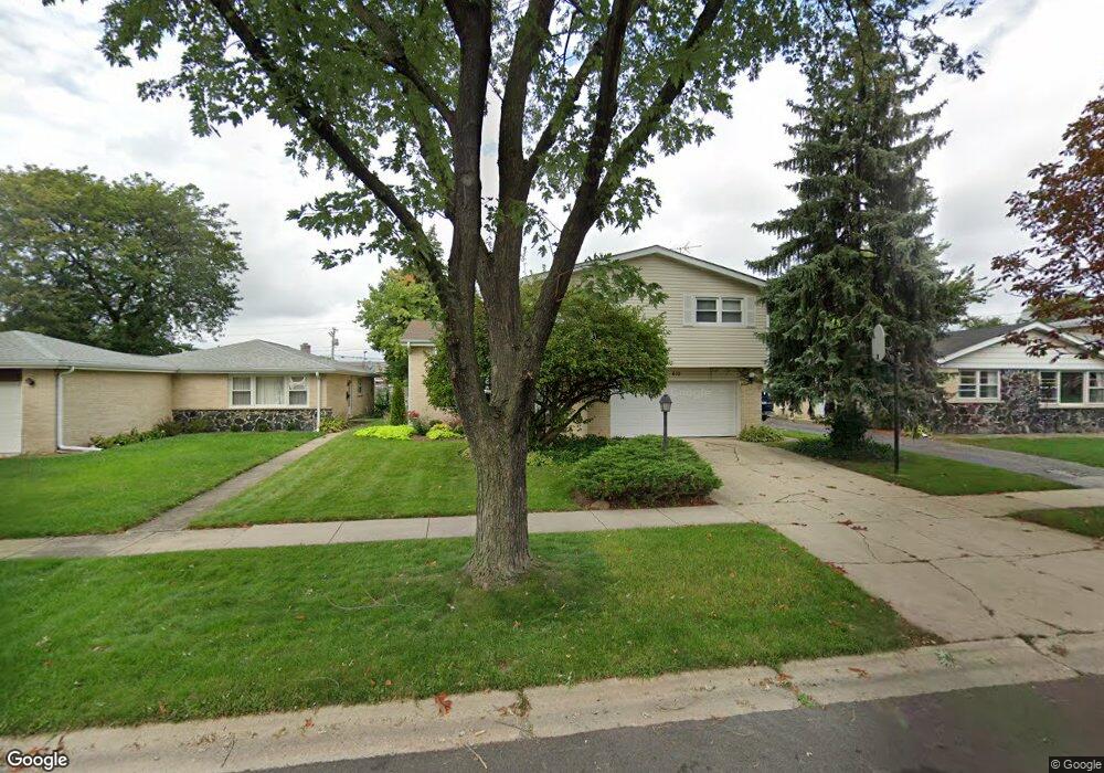
610 Morray Ct Des Plaines, IL 60018
Estimated Value: $483,615 - $567,000
4
Beds
3
Baths
2,109
Sq Ft
$252/Sq Ft
Est. Value
About This Home
This home is located at 610 Morray Ct, Des Plaines, IL 60018 and is currently estimated at $532,404, approximately $252 per square foot. 610 Morray Ct is a home located in Cook County with nearby schools including Devonshire Elementary School, Friendship Jr High School, and Elk Grove High School.
Create a Home Valuation Report for This Property
The Home Valuation Report is an in-depth analysis detailing your home's value as well as a comparison with similar homes in the area
Home Values in the Area
Average Home Value in this Area
Tax History
| Year | Tax Paid | Tax Assessment Tax Assessment Total Assessment is a certain percentage of the fair market value that is determined by local assessors to be the total taxable value of land and additions on the property. | Land | Improvement |
|---|---|---|---|---|
| 2025 | $7,330 | $46,000 | $8,606 | $37,394 |
| 2024 | $7,330 | $34,898 | $7,376 | $27,522 |
| 2023 | $7,472 | $37,000 | $7,376 | $29,624 |
| 2022 | $7,472 | $37,000 | $7,376 | $29,624 |
| 2021 | $5,207 | $24,734 | $4,917 | $19,817 |
| 2020 | $5,879 | $24,734 | $4,917 | $19,817 |
| 2019 | $5,946 | $27,483 | $4,917 | $22,566 |
| 2018 | $6,757 | $27,613 | $4,098 | $23,515 |
| 2017 | $7,055 | $29,090 | $4,098 | $24,992 |
| 2016 | $6,864 | $29,090 | $4,098 | $24,992 |
| 2015 | $6,336 | $25,617 | $3,688 | $21,929 |
| 2014 | $6,796 | $27,512 | $3,688 | $23,824 |
| 2013 | $6,636 | $27,512 | $3,688 | $23,824 |
Source: Public Records
Map
Nearby Homes
- 1105 Holiday Ln Unit 20
- 1044 Willson Dr
- 725 Elizabeth Ln
- 960 Beau Dr Unit 109
- 615 Cordial Dr
- 650 Murray Ln Unit 214
- 650 Murray Ln Unit 314
- 510 Florian Dr
- 930 Beau Dr Unit 312
- 640 Murray Ln Unit 111
- 721 Elmhurst Rd Unit G
- 701 S Elmhurst Rd Unit H
- 866 Clark Ln
- 231 Dover Dr
- 1582 Pennsylvania Ave Unit 3
- 115 Dover Dr Unit 13
- 105 King Ln
- 887 Ingram Place
- 147 Lance Dr
- 756 W Millers Rd
Your Personal Tour Guide
Ask me questions while you tour the home.