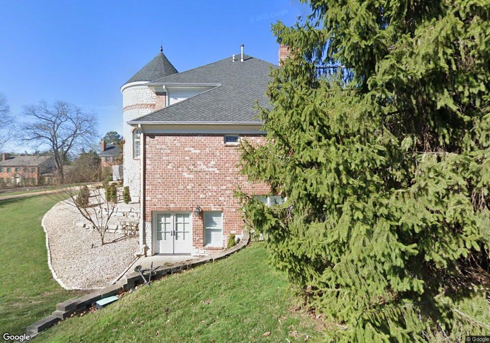
610 N Spoede Rd Saint Louis, MO 63141
Estimated Value: $2,139,000 - $2,943,000
4
Beds
7
Baths
8,706
Sq Ft
$287/Sq Ft
Est. Value
About This Home
This home is located at 610 N Spoede Rd, Saint Louis, MO 63141 and is currently estimated at $2,499,171, approximately $287 per square foot. 610 N Spoede Rd is a home located in St. Louis County with nearby schools including Spoede Elementary School, Ladue 5th Grade Center, and Ladue Middle.
Ownership History
Date
Name
Owned For
Owner Type
Purchase Details
Closed on
Sep 16, 2020
Sold by
Pollvogt Jacqueline D
Bought by
Pollvogt Jacqueline Lorraine Drury and Pollvogt Jacqueline Lorraine
Current Estimated Value
Purchase Details
Closed on
Oct 10, 2012
Sold by
Pollvogt Donald M
Bought by
Pollvogt Jacqueline D
Purchase Details
Closed on
Aug 20, 2012
Sold by
Pollvogt Donald M
Bought by
Pollvogt Jacqueline D
Create a Home Valuation Report for This Property
The Home Valuation Report is an in-depth analysis detailing your home's value as well as a comparison with similar homes in the area
Home Values in the Area
Average Home Value in this Area
Purchase History
| Date | Buyer | Sale Price | Title Company |
|---|---|---|---|
| Pollvogt Jacqueline Lorraine Drury | -- | None Available | |
| Pollvogt Jacqueline D | -- | None Available | |
| Pollvogt Jacqueline D | -- | None Available |
Source: Public Records
Tax History Compared to Growth
Tax History
| Year | Tax Paid | Tax Assessment Tax Assessment Total Assessment is a certain percentage of the fair market value that is determined by local assessors to be the total taxable value of land and additions on the property. | Land | Improvement |
|---|---|---|---|---|
| 2025 | $37,490 | $656,780 | $98,290 | $558,490 |
| 2024 | $37,490 | $538,630 | $87,360 | $451,270 |
| 2023 | $37,442 | $538,630 | $87,360 | $451,270 |
| 2022 | $31,210 | $432,100 | $98,290 | $333,810 |
| 2021 | $30,971 | $444,000 | $98,290 | $345,710 |
| 2020 | $32,928 | $453,530 | $81,700 | $371,830 |
| 2019 | $32,357 | $453,530 | $81,700 | $371,830 |
| 2018 | $30,610 | $396,240 | $53,120 | $343,120 |
| 2017 | $28,112 | $364,420 | $53,120 | $311,300 |
| 2016 | $26,666 | $337,020 | $53,120 | $283,900 |
| 2015 | $25,438 | $337,020 | $53,120 | $283,900 |
| 2014 | $19,999 | $256,590 | $62,050 | $194,540 |
Source: Public Records
Map
Nearby Homes
- 1 Allegro Ln
- 10 Spoede Woods Dr
- 817 Larkin Ave
- 832 Larkin Ave
- 556 N Graeser Rd
- 2 Wedgewood Ln
- 18 Sona Ln
- 866 Deaver Ln
- 970 N Spoede Rd Unit 24
- 814 Mary Meadows Ln
- 1033 Wilton Royal Dr Unit 210
- 1033 Wilton Royal Dr Unit 107
- 1033 Wilton Royal Dr Unit 204
- 10469 Briarbend Dr Unit 3
- 149 N Spoede Rd
- 1054 Willow Brook Dr
- 12 Morwood Ln
- 11 N Tealbrook Dr
- 1060 Port Diane Dr
- 10401 Briarbend Dr Unit 2
- 10603 Greywyck Ln
- 10609 Greywyck Ln
- 1 Spoede Ridge Ln
- 10615 Greywyck Ln
- 2 Spoede Ridge Ln
- 21 Spoede Hills Dr
- 6 Spoede Ridge Ln
- 3 Spoede Hills Dr
- 20 Spoede Hills Dr
- 1 Spoede Hills Dr
- 3 Spoede Ridge Ln
- 540 N Spoede Rd
- 4 Spoede Hills Dr
- 567 N Spoede Rd
- 2 Colonial Hills Pkwy
- 19 Spoede Hills Dr
- 5 Spoede Hills Dr
- 615 N Spoede Rd
- 4 Colonial Hills Pkwy
- 555 N Spoede Rd