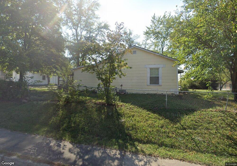
610 N State Route 7 Pleasant Hill, MO 64080
Estimated Value: $180,000 - $210,000
2
Beds
1
Bath
990
Sq Ft
$196/Sq Ft
Est. Value
About This Home
This home is located at 610 N State Route 7, Pleasant Hill, MO 64080 and is currently estimated at $194,328, approximately $196 per square foot. 610 N State Route 7 is a home located in Cass County with nearby schools including Pleasant Hill Primary School, Pleasant Hill Elementary School, and Pleasant Hill Middle School.
Ownership History
Date
Name
Owned For
Owner Type
Purchase Details
Closed on
Mar 14, 2008
Sold by
Sudduth Edna L and Sudduth Roger L
Bought by
Mcfee Larry and Mcfee Larry P
Current Estimated Value
Home Financials for this Owner
Home Financials are based on the most recent Mortgage that was taken out on this home.
Original Mortgage
$70,000
Outstanding Balance
$43,445
Interest Rate
5.67%
Mortgage Type
New Conventional
Estimated Equity
$150,883
Create a Home Valuation Report for This Property
The Home Valuation Report is an in-depth analysis detailing your home's value as well as a comparison with similar homes in the area
Home Values in the Area
Average Home Value in this Area
Purchase History
| Date | Buyer | Sale Price | Title Company |
|---|---|---|---|
| Mcfee Larry | -- | -- |
Source: Public Records
Mortgage History
| Date | Status | Borrower | Loan Amount |
|---|---|---|---|
| Open | Mcfee Larry | $70,000 |
Source: Public Records
Tax History Compared to Growth
Tax History
| Year | Tax Paid | Tax Assessment Tax Assessment Total Assessment is a certain percentage of the fair market value that is determined by local assessors to be the total taxable value of land and additions on the property. | Land | Improvement |
|---|---|---|---|---|
| 2024 | $1,108 | $15,360 | $3,560 | $11,800 |
| 2023 | $1,100 | $15,360 | $3,560 | $11,800 |
| 2022 | $984 | $13,490 | $3,560 | $9,930 |
| 2021 | $957 | $13,490 | $3,560 | $9,930 |
| 2020 | $910 | $13,130 | $3,560 | $9,570 |
| 2019 | $897 | $13,130 | $3,560 | $9,570 |
| 2018 | $796 | $11,490 | $2,850 | $8,640 |
| 2017 | $770 | $11,490 | $2,850 | $8,640 |
| 2016 | $770 | $11,070 | $2,850 | $8,220 |
| 2015 | $780 | $11,070 | $2,850 | $8,220 |
| 2014 | $783 | $11,070 | $2,850 | $8,220 |
| 2013 | -- | $11,070 | $2,850 | $8,220 |
Source: Public Records
Map
Nearby Homes
- 501 Lexington Rd
- 1209 Crest Dr
- 502 N Armstrong St
- 1002 Lexington Rd
- 1206 Sycamore St
- 1003 Truman St
- 207 Lexington Rd
- 1413 Country Club Dr
- 204 Lexington Rd
- 1704 Mulberry St
- 1700 Mulberry St
- 0 Route 7
- 601 Hillcrest St
- 1512 Country Club Dr
- 1504 Hawthorne Cir
- 1004 Wright St
- 418 N Taylor St
- 0 Locust St
- 105 N Campbell St
- 122 N Taylor St
- 608 N State Route 7
- 1103 Delaware St
- 700 N State Route 7
- 619 Lexington Rd
- 701 Lexington Rd
- 607 Lexington Rd
- 609 N State Route 7
- 1008 Stafford Dr
- 605 Lexington Rd
- 703 Lexington Rd
- 607 N State Route 7
- 704 N State Route 7
- 605 N State Route 7
- 1020 Timber St
- 1006 Stafford Dr
- 603 Lexington Rd
- 705 Lexington Rd
- 1006 Timber St
- 700 Lexington Rd
- 1004 Stafford Dr