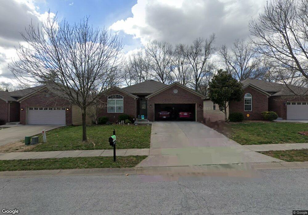
610 Nelson Ave New Albany, IN 47150
Estimated Value: $261,000 - $311,000
3
Beds
3
Baths
2,155
Sq Ft
$131/Sq Ft
Est. Value
About This Home
This home is located at 610 Nelson Ave, New Albany, IN 47150 and is currently estimated at $282,567, approximately $131 per square foot. 610 Nelson Ave is a home located in Floyd County with nearby schools including Hazelwood Middle School, New Albany Senior High School, and Holy Family School.
Ownership History
Date
Name
Owned For
Owner Type
Purchase Details
Closed on
Dec 14, 2012
Sold by
Fenwick Alan P
Bought by
Banet Brenda K
Current Estimated Value
Purchase Details
Closed on
May 26, 2010
Sold by
Pinehurst Partners Inc
Bought by
Fenwick Alan P and Banet Brenda K
Home Financials for this Owner
Home Financials are based on the most recent Mortgage that was taken out on this home.
Original Mortgage
$59,900
Interest Rate
5.12%
Mortgage Type
New Conventional
Create a Home Valuation Report for This Property
The Home Valuation Report is an in-depth analysis detailing your home's value as well as a comparison with similar homes in the area
Home Values in the Area
Average Home Value in this Area
Purchase History
| Date | Buyer | Sale Price | Title Company |
|---|---|---|---|
| Banet Brenda K | -- | -- | |
| Fenwick Alan P | -- | Kemp Title Agency Llc |
Source: Public Records
Mortgage History
| Date | Status | Borrower | Loan Amount |
|---|---|---|---|
| Previous Owner | Fenwick Alan P | $59,900 |
Source: Public Records
Tax History Compared to Growth
Tax History
| Year | Tax Paid | Tax Assessment Tax Assessment Total Assessment is a certain percentage of the fair market value that is determined by local assessors to be the total taxable value of land and additions on the property. | Land | Improvement |
|---|---|---|---|---|
| 2024 | $2,258 | $213,100 | $31,800 | $181,300 |
| 2023 | $2,332 | $219,400 | $31,800 | $187,600 |
| 2022 | $2,390 | $223,700 | $31,800 | $191,900 |
| 2021 | $2,174 | $202,300 | $31,800 | $170,500 |
| 2020 | $2,199 | $204,200 | $31,800 | $172,400 |
| 2019 | $1,906 | $177,500 | $3,200 | $174,300 |
| 2018 | $2,157 | $199,100 | $31,800 | $167,300 |
| 2017 | $2,026 | $184,300 | $31,800 | $152,500 |
| 2016 | $1,842 | $184,200 | $31,800 | $152,400 |
| 2014 | $1,681 | $168,100 | $31,800 | $136,300 |
| 2013 | -- | $166,500 | $31,800 | $134,700 |
Source: Public Records
Map
Nearby Homes
- 528 Drawbrook Cir
- 511 E Daisy Ln
- 805 Elmwood Ave
- 6369 Indiana 111
- 627 Roseview Terrace
- 823 Elmwood Ave
- 2424 Stover Dr
- 61 Wolfe Trace Ct
- 205 Robin Lynne Dr
- 8 Robin Ct
- 1464 South St
- 2548 Broadway St
- 2550 Broadway St
- 1455 South St
- 1418 Vance Ave
- 2115 Loop Island Way
- 2111 Loop Island Way
- 2103 Loop Island Way
- 1235 Vance Ave
- 2218 Fairmont Ave
- 608 Nelson Ave
- 606 Nelson Ave
- 605 Nelson Ave
- 603 Nelson Ave
- 601 Nelson Ave
- 2602 Pinehurst Ct
- 616 Nelson Ave
- 529 Drawbrook Cir
- 607 Nelson Ave
- 2604 Pinehurst Ct
- 609 Nelson Ave
- 618 Nelson Ave
- 527 Drawbrook Cir
- 2606 Pinehurst Ct
- 2605 Pinehurst Ct
- 520 Bentbrook Dr
- 518 Bentbrook Dr
- 601 Knob Hill Ave
- 522 Bentbrook Dr
- 2611 Linda Dr