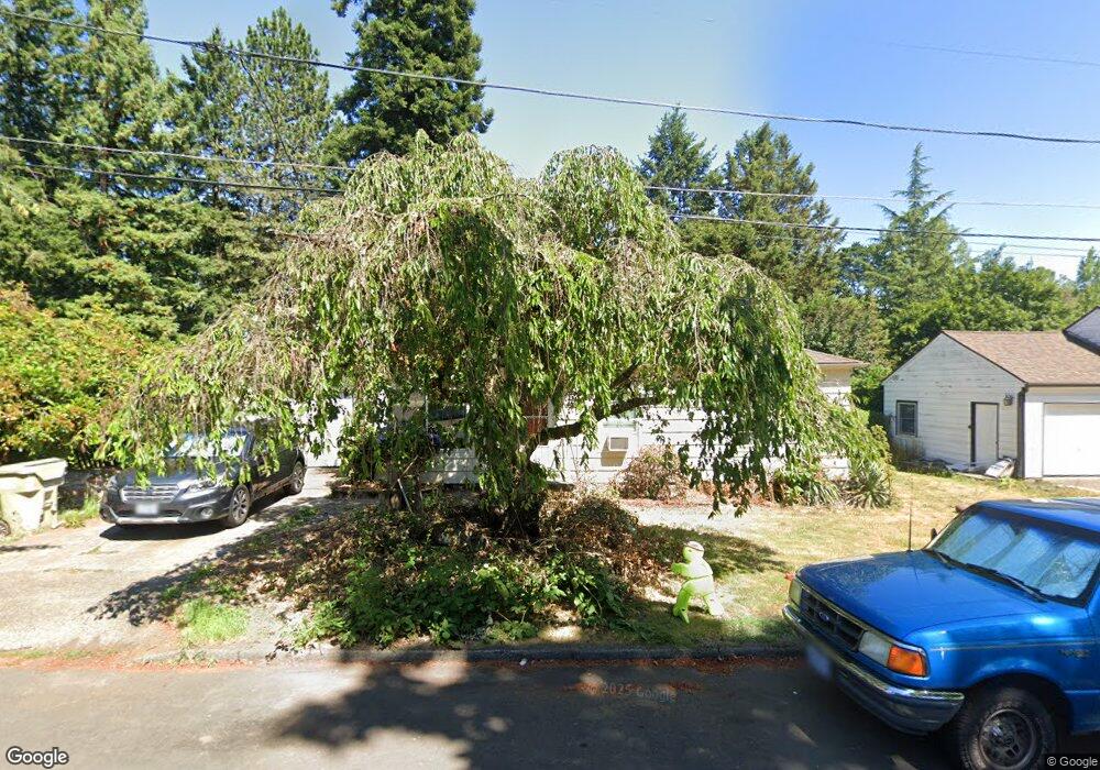
610 NW Dale Ave Portland, OR 97229
Estimated Value: $432,000 - $560,000
3
Beds
2
Baths
1,408
Sq Ft
$342/Sq Ft
Est. Value
About This Home
This home is located at 610 NW Dale Ave, Portland, OR 97229 and is currently estimated at $480,963, approximately $341 per square foot. 610 NW Dale Ave is a home located in Washington County with nearby schools including Terra Linda Elementary School, Sunset High School, and St. Pius X. School.
Ownership History
Date
Name
Owned For
Owner Type
Purchase Details
Closed on
Nov 15, 2013
Sold by
Yoo Don K
Bought by
Whang Jonathon L
Current Estimated Value
Home Financials for this Owner
Home Financials are based on the most recent Mortgage that was taken out on this home.
Original Mortgage
$121,600
Outstanding Balance
$90,467
Interest Rate
4.17%
Mortgage Type
New Conventional
Estimated Equity
$390,496
Purchase Details
Closed on
May 14, 2002
Sold by
Whang Chong Ae
Bought by
Yoo Don K
Home Financials for this Owner
Home Financials are based on the most recent Mortgage that was taken out on this home.
Original Mortgage
$90,000
Interest Rate
7.13%
Create a Home Valuation Report for This Property
The Home Valuation Report is an in-depth analysis detailing your home's value as well as a comparison with similar homes in the area
Home Values in the Area
Average Home Value in this Area
Purchase History
| Date | Buyer | Sale Price | Title Company |
|---|---|---|---|
| Whang Jonathon L | $152,000 | Fidelity Natl Title Co Of Or | |
| Yoo Don K | $112,500 | Oregon Title Insurance Co |
Source: Public Records
Mortgage History
| Date | Status | Borrower | Loan Amount |
|---|---|---|---|
| Open | Whang Jonathon L | $121,600 | |
| Previous Owner | Yoo Don K | $90,000 |
Source: Public Records
Tax History Compared to Growth
Tax History
| Year | Tax Paid | Tax Assessment Tax Assessment Total Assessment is a certain percentage of the fair market value that is determined by local assessors to be the total taxable value of land and additions on the property. | Land | Improvement |
|---|---|---|---|---|
| 2025 | $3,385 | $186,940 | -- | -- |
| 2024 | $3,179 | $181,500 | -- | -- |
| 2023 | $3,179 | $176,220 | $0 | $0 |
| 2022 | $3,076 | $176,220 | $0 | $0 |
| 2021 | $2,965 | $166,110 | $0 | $0 |
| 2020 | $2,876 | $161,280 | $0 | $0 |
| 2019 | $2,782 | $156,590 | $0 | $0 |
| 2018 | $2,691 | $152,030 | $0 | $0 |
| 2017 | $2,595 | $147,610 | $0 | $0 |
| 2016 | $2,502 | $143,320 | $0 | $0 |
| 2015 | $2,406 | $139,150 | $0 | $0 |
| 2014 | $2,357 | $135,100 | $0 | $0 |
Source: Public Records
Map
Nearby Homes
- 12622 NW Barnes Rd Unit 2
- 12622 NW Barnes Rd Unit 6
- 12620 NW Barnes Rd Unit 5
- 12618 NW Barnes Rd Unit 11
- 12634 NW Barnes Rd Unit 8
- 12604 NW Barnes Rd Unit 3
- 425 NW 139th Ave
- 245 SW 133rd Ave
- 1470 NW 136th Ave
- 1545 NW 131st Ave
- 595 NW Lost Springs Terrace Unit 303
- 615 NW Lost Springs Terrace Unit 102
- 1625 NW 136th Ave
- 13120 SW Rita Dr
- 1700 NW Saltzman Rd
- 11845 NW Stone Mountain Ln Unit 403
- 11830 NW Holly Springs Ln Unit 403
- 695 NW Falling Waters Ln Unit 304
- 12170 NW Marshall St
- 14386 NW Tripton Ct
- 580 NW Dale Ave
- 640 NW Dale Ave
- 670 NW Dale Ave
- 560 NW Dale Ave
- 605 NW Dale Ave
- 700 NW Dale Ave
- 665 NW Dale Ave
- 13304 NW Sherry St
- 13311 NW Sherry St
- 730 NW Dale Ave
- 695 NW Dale Ave
- 13105 NW Glenridge Dr
- 13310 NW Sherry St
- 760 NW Dale Ave Unit 2
- 760 NW Dale Ave
- 13095 NW Glenridge Dr
- 660 NW Joy Ave
- 13317 NW Sherry St
- 694 NW Joy Ave
- 690 NW Joy Ave