Estimated Value: $440,773 - $691,000
--
Bed
--
Bath
--
Sq Ft
6,752
Sq Ft Lot
About This Home
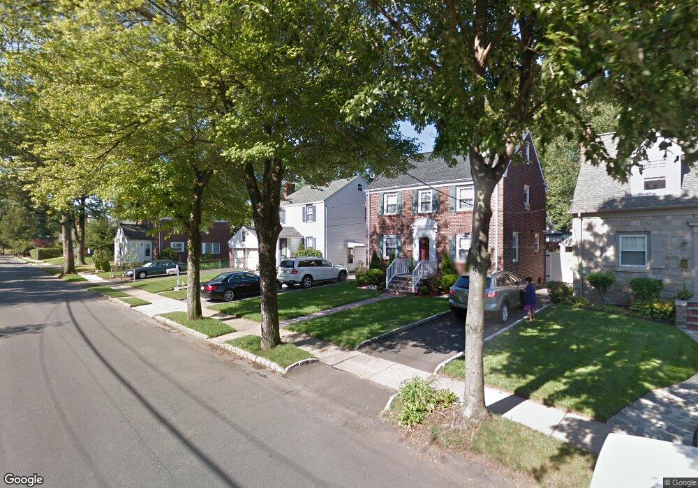
This home is located at 610 Palisade Rd, Union, NJ 07083 and is currently estimated at $595,443. 610 Palisade Rd is a home located in Union County with nearby schools including Washington Elementary School, Union High School, and Jewish Educational Center Lower School.
Ownership History
Date
Name
Owned For
Owner Type
Purchase Details
Closed on
Sep 25, 2001
Sold by
Roesinger Melissa A and Roesinger Albert
Bought by
Persaud Sean and Persaud Wanita
Current Estimated Value
Home Financials for this Owner
Home Financials are based on the most recent Mortgage that was taken out on this home.
Original Mortgage
$195,000
Outstanding Balance
$76,442
Interest Rate
6.91%
Estimated Equity
$519,001
Purchase Details
Closed on
Aug 4, 2000
Sold by
Maher Richard
Bought by
Roesinger Melissa A
Home Financials for this Owner
Home Financials are based on the most recent Mortgage that was taken out on this home.
Original Mortgage
$157,500
Interest Rate
8.06%
Create a Home Valuation Report for This Property
The Home Valuation Report is an in-depth analysis detailing your home's value as well as a comparison with similar homes in the area
Home Values in the Area
Average Home Value in this Area
Purchase History
| Date | Buyer | Sale Price | Title Company |
|---|---|---|---|
| Persaud Sean | $215,000 | -- | |
| Roesinger Melissa A | $175,000 | First American Title Ins Co |
Source: Public Records
Mortgage History
| Date | Status | Borrower | Loan Amount |
|---|---|---|---|
| Open | Persaud Sean | $195,000 | |
| Previous Owner | Roesinger Melissa A | $157,500 |
Source: Public Records
Tax History Compared to Growth
Tax History
| Year | Tax Paid | Tax Assessment Tax Assessment Total Assessment is a certain percentage of the fair market value that is determined by local assessors to be the total taxable value of land and additions on the property. | Land | Improvement |
|---|---|---|---|---|
| 2025 | $12,181 | $54,500 | $16,700 | $37,800 |
| 2024 | $11,810 | $54,500 | $16,700 | $37,800 |
| 2023 | $11,810 | $54,500 | $16,700 | $37,800 |
| 2022 | $11,399 | $54,500 | $16,700 | $37,800 |
| 2021 | $11,123 | $54,500 | $16,700 | $37,800 |
| 2020 | $10,901 | $54,500 | $16,700 | $37,800 |
| 2019 | $10,754 | $54,500 | $16,700 | $37,800 |
| 2018 | $10,571 | $54,500 | $16,700 | $37,800 |
| 2017 | $10,415 | $54,500 | $16,700 | $37,800 |
| 2016 | $10,161 | $54,500 | $16,700 | $37,800 |
| 2015 | $9,993 | $54,500 | $16,700 | $37,800 |
| 2014 | $9,769 | $54,500 | $16,700 | $37,800 |
Source: Public Records
Map
Nearby Homes
- 309 Palisade Rd Unit 323
- 757 Floral Ave Unit 59
- 749 Cleveland Ave Unit 751
- 1031 Lowden Ave
- 13 Berkeley Place Unit 15
- 842 Travers St
- 138 Monmouth Rd Unit 40
- 1084 Woodland Ave
- 137-139 Monmouth Rd
- 161 Morristown Rd Unit 63
- 35 Bellewood Place Unit 37
- 790 Green Ln Unit A1
- 257 Lincoln Ave Unit 259
- 45 Summit Rd Unit 47
- 275 Clermont Terrace
- 795 Colonial Arms Rd
- 13-15 Hillside Rd
- 865 Westfield Ave
- 717 Winchester Ave
- 1134-1138 Kipling Rd
- 616 Palisade Rd
- 620 Palisade Rd
- 879 Floral Ave
- 873 Floral Ave
- 883 Floral Ave
- 624 Palisade Rd
- 887 Floral Ave
- 615 Summit Rd
- 611 Summit Rd
- 626 Palisade Rd
- 621 Summit Rd
- 609 Palisade Rd
- 630 Palisade Rd
- 615 Palisade Rd
- 617 Palisade Rd
- 876 Floral Ave
- 882 Floral Ave
- 901 Floral Ave
- 870 Floral Ave
- 621 Palisade Rd