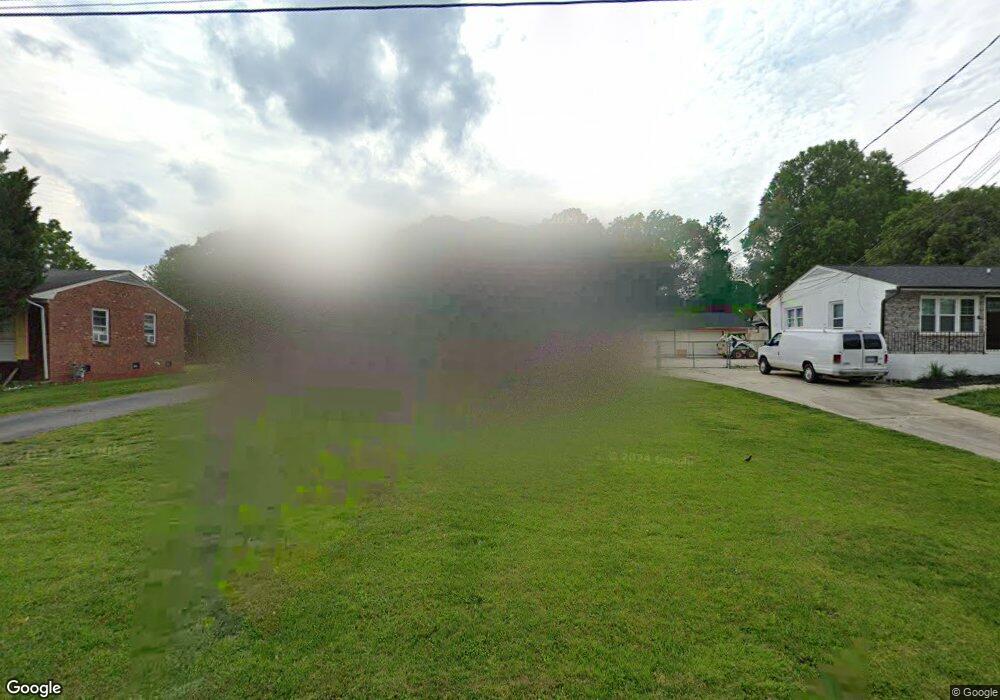
610 Paramount St High Point, NC 27260
Greater High Point NeighborhoodEstimated Value: $152,000 - $189,000
3
Beds
1
Bath
1,040
Sq Ft
$159/Sq Ft
Est. Value
About This Home
This home is located at 610 Paramount St, High Point, NC 27260 and is currently estimated at $165,579, approximately $159 per square foot. 610 Paramount St is a home located in Guilford County with nearby schools including Union Hill Elementary School, Jamestown Middle School, and Ragsdale High School.
Ownership History
Date
Name
Owned For
Owner Type
Purchase Details
Closed on
Jan 31, 2008
Sold by
Jenkins Charles H
Bought by
Bibi Nigar and Ahamad Waheed
Current Estimated Value
Home Financials for this Owner
Home Financials are based on the most recent Mortgage that was taken out on this home.
Original Mortgage
$68,918
Outstanding Balance
$43,608
Interest Rate
6.12%
Mortgage Type
FHA
Estimated Equity
$121,971
Create a Home Valuation Report for This Property
The Home Valuation Report is an in-depth analysis detailing your home's value as well as a comparison with similar homes in the area
Home Values in the Area
Average Home Value in this Area
Purchase History
| Date | Buyer | Sale Price | Title Company |
|---|---|---|---|
| Bibi Nigar | $70,000 | None Available |
Source: Public Records
Mortgage History
| Date | Status | Borrower | Loan Amount |
|---|---|---|---|
| Open | Bibi Nigar | $68,918 |
Source: Public Records
Tax History
| Year | Tax Paid | Tax Assessment Tax Assessment Total Assessment is a certain percentage of the fair market value that is determined by local assessors to be the total taxable value of land and additions on the property. | Land | Improvement |
|---|---|---|---|---|
| 2025 | $1,207 | $87,600 | $22,000 | $65,600 |
| 2024 | $1,207 | $87,600 | $22,000 | $65,600 |
| 2023 | $1,207 | $87,600 | $22,000 | $65,600 |
| 2022 | $1,181 | $87,600 | $22,000 | $65,600 |
| 2021 | $790 | $57,300 | $11,000 | $46,300 |
| 2020 | $790 | $57,300 | $11,000 | $46,300 |
| 2019 | $790 | $57,300 | $0 | $0 |
| 2018 | $786 | $57,300 | $0 | $0 |
| 2017 | $786 | $57,300 | $0 | $0 |
| 2016 | $833 | $59,400 | $0 | $0 |
| 2015 | $838 | $59,400 | $0 | $0 |
| 2014 | $852 | $59,400 | $0 | $0 |
Source: Public Records
Map
Nearby Homes
- 210 Paramount St
- 2715 Central Ave
- 930 & 928 R1 Marlboro St
- 928 Marlboro St
- 3304 Central Ave
- 627 Spring Garden Cir
- 3003 #REAR Oakcrest Ave
- 404 Hickory Chapel Rd
- 206 Paramount St
- 709 Habersham Rd
- 2305 Delaware Place
- 737 Hendrix St
- 735 Hendrix St
- 3215 E Martin Luther King Junior Dr
- 1900-1922 Baker Rd
- 430 New St
- 2317 Purdy Ave
- 615 Hendrix St
- 600 Hendrix St
- 1908 Leonard Ave
- 608 Paramount St
- 612 Paramount St
- 614 Paramount St
- 2919 Station Ct
- 2912 Central Ave
- 2914 Central Ave
- 2921 Station Ct
- 2910 Central Ave
- 616 Paramount St
- 611 Paramount St
- 3000 Central Ave
- 613 Paramount St
- 2917 Station Ct
- 615 Paramount St
- 2902 Central Ave
- 3002 Central Ave
- 617 Paramount St
- 620 Paramount St
- 3006 Central Ave
- 809 Central Ct
Your Personal Tour Guide
Ask me questions while you tour the home.