610 Pinecrest Dr Plover, WI 54467
Estimated Value: $349,412 - $497,000
Studio
--
Bath
--
Sq Ft
21,780
Sq Ft Lot
About This Home
This home is located at 610 Pinecrest Dr, Plover, WI 54467 and is currently estimated at $424,603. 610 Pinecrest Dr is a home located in Portage County with nearby schools including Plover-Whiting Elementary School, Benjamin Franklin Junior High School, and Stevens Point Area Senior High School.
Ownership History
Date
Name
Owned For
Owner Type
Purchase Details
Closed on
Jul 3, 2023
Sold by
Bancker Karl Edward and Ba Allison
Bought by
Nelson Robert A and Nelson Dana K
Current Estimated Value
Home Financials for this Owner
Home Financials are based on the most recent Mortgage that was taken out on this home.
Original Mortgage
$314,400
Outstanding Balance
$304,299
Interest Rate
6.39%
Mortgage Type
New Conventional
Estimated Equity
$120,304
Purchase Details
Closed on
Jul 8, 2021
Sold by
Bancker Karl E and Bancker Allison P
Bought by
Bancker Karl Edward and Livi Allison
Create a Home Valuation Report for This Property
The Home Valuation Report is an in-depth analysis detailing your home's value as well as a comparison with similar homes in the area
Home Values in the Area
Average Home Value in this Area
Purchase History
| Date | Buyer | Sale Price | Title Company |
|---|---|---|---|
| Nelson Robert A | $393,000 | Gowey Abstract & Title | |
| Bancker Karl Edward | -- | Gowey Abstract & Title |
Source: Public Records
Mortgage History
| Date | Status | Borrower | Loan Amount |
|---|---|---|---|
| Open | Nelson Robert A | $314,400 |
Source: Public Records
Tax History
| Year | Tax Paid | Tax Assessment Tax Assessment Total Assessment is a certain percentage of the fair market value that is determined by local assessors to be the total taxable value of land and additions on the property. | Land | Improvement |
|---|---|---|---|---|
| 2025 | $5,501 | $304,600 | $45,200 | $259,400 |
| 2024 | $52 | $304,600 | $45,200 | $259,400 |
| 2023 | $5,042 | $304,600 | $45,200 | $259,400 |
| 2022 | $4,960 | $304,600 | $45,200 | $259,400 |
| 2021 | $5,003 | $209,300 | $28,700 | $180,600 |
| 2020 | $5,071 | $209,300 | $28,700 | $180,600 |
| 2019 | $4,913 | $209,300 | $28,700 | $180,600 |
| 2018 | $4,622 | $209,300 | $28,700 | $180,600 |
| 2017 | $4,203 | $209,300 | $28,700 | $180,600 |
| 2016 | $4,146 | $209,300 | $28,700 | $180,600 |
| 2015 | $4,213 | $209,300 | $28,700 | $180,600 |
| 2014 | $4,144 | $209,300 | $28,700 | $180,600 |
Source: Public Records
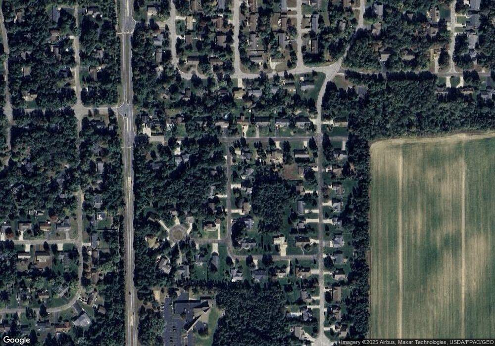
Map
Nearby Homes
- 36.20 Acres Brentwood Dr
- 10 Acres Brentwood Dr
- 840 Ramble Ln
- 600 7th St
- 1011 Melody Ln
- 262 White Oak Ave
- 1031-1033 Fred's Ct
- 66.81 Acres Porter Dr
- 1301 Spruce Dr
- 1600 Dennis Dr
- 0 County Road R Unit 22203659
- 1500 Brookshire Dr
- 2710 Porter Rd
- 3017 1st St
- 3019 1st St
- 2906 Post Rd
- 1855 Whitewater Cove
- 1915 School St
- 3350 Bonnie Bay Rd
- 2200 Post Rd
- 620 Pinecrest Dr
- 630 Pinecrest Dr
- 700 Pinecrest Dr
- 1830 Blueberry Dr
- 1810 Blueberry Dr
- 1800 Blueberry Dr
- 600 Pinecrest Dr
- 601 Pinecrest Dr
- 611 Pinecrest Dr
- 621 Pinecrest Dr
- 631 Pinecrest Dr
- 721 Pinecrest Dr
- 1831 Blueberry Dr
- 1821 Blueberry Dr
- 1811 Blueberry Dr
- 1801 Blueberry Dr
- 1931 Apple Ct
- 1900 Apple Ct
- 1920 Apple Ct
- 1930 Apple Ct
Your Personal Tour Guide
Ask me questions while you tour the home.