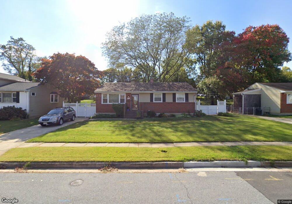
610 Piper Rd Reisterstown, MD 21136
Estimated Value: $355,718 - $401,000
--
Bed
2
Baths
1,040
Sq Ft
$355/Sq Ft
Est. Value
About This Home
This home is located at 610 Piper Rd, Reisterstown, MD 21136 and is currently estimated at $369,180, approximately $354 per square foot. 610 Piper Rd is a home located in Baltimore County with nearby schools including Reisterstown Elementary, Franklin Middle, and Franklin High.
Ownership History
Date
Name
Owned For
Owner Type
Purchase Details
Closed on
Feb 25, 2019
Sold by
Grodkiewicz Lorraine A
Bought by
Grodkiewicz Lorraine A and Palmisano Jessica G
Current Estimated Value
Purchase Details
Closed on
May 30, 2003
Sold by
Powers Mark Craig
Bought by
Grodkiewicz Arthur D and Grodkiewicz Lorraine A
Purchase Details
Closed on
Apr 16, 2001
Sold by
Secretary Of Veterans Affairs
Bought by
Powers Mark Craig and Powers Tammy Sue
Purchase Details
Closed on
Jun 1, 2000
Sold by
Putnam Terry Lee
Bought by
Secretary Of Veterans Affairs
Purchase Details
Closed on
Feb 3, 1997
Sold by
Bartell Herbert M
Bought by
Putnam Terry Lee and Putnam Betty L
Create a Home Valuation Report for This Property
The Home Valuation Report is an in-depth analysis detailing your home's value as well as a comparison with similar homes in the area
Home Values in the Area
Average Home Value in this Area
Purchase History
| Date | Buyer | Sale Price | Title Company |
|---|---|---|---|
| Grodkiewicz Lorraine A | -- | None Available | |
| Grodkiewicz Arthur D | $164,900 | -- | |
| Powers Mark Craig | $95,000 | -- | |
| Secretary Of Veterans Affairs | $96,943 | -- | |
| Putnam Terry Lee | $110,000 | -- |
Source: Public Records
Tax History Compared to Growth
Tax History
| Year | Tax Paid | Tax Assessment Tax Assessment Total Assessment is a certain percentage of the fair market value that is determined by local assessors to be the total taxable value of land and additions on the property. | Land | Improvement |
|---|---|---|---|---|
| 2025 | $3,580 | $302,467 | -- | -- |
| 2024 | $3,580 | $281,800 | $52,100 | $229,700 |
| 2023 | $1,710 | $267,233 | $0 | $0 |
| 2022 | $2,753 | $252,667 | $0 | $0 |
| 2021 | $2,994 | $238,100 | $52,100 | $186,000 |
| 2020 | $2,994 | $223,867 | $0 | $0 |
| 2019 | $2,975 | $209,633 | $0 | $0 |
| 2018 | $2,917 | $195,400 | $52,100 | $143,300 |
| 2017 | $2,753 | $189,300 | $0 | $0 |
| 2016 | $1,117 | $183,200 | $0 | $0 |
| 2015 | $1,117 | $177,100 | $0 | $0 |
| 2014 | $1,117 | $177,100 | $0 | $0 |
Source: Public Records
Map
Nearby Homes
- 225 Highmeadow Rd
- 10 Pennyborough Ct
- 123 Glyndon Trace Dr
- 65A Bond Ave
- 223 New Ave
- 215 Greenview Ave
- 3 Meadow Mist Ct
- 11921 Tarragon Rd Unit H
- 13 Bellinger Ct
- 15 Gloucester Ct
- 11906 Tarragon Rd Unit I
- 11906 Tarragon Rd Unit J
- 11902 Tarragon Rd Unit A
- 10 Simpson Ct
- 611 Brickston Rd
- 105 Fitz Ct Unit 202
- 101 Fitz Ct Unit 202
- 105 Fitz Ct Unit 101
- 120 Lamport Rd
- 18 Austin Rd