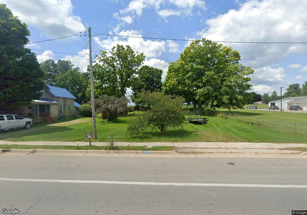
610 S Main St Reading, MI 49274
Estimated Value: $47,946 - $167,000
3
Beds
1
Bath
1,040
Sq Ft
$105/Sq Ft
Est. Value
About This Home
This home is located at 610 S Main St, Reading, MI 49274 and is currently estimated at $109,487, approximately $105 per square foot. 610 S Main St is a home located in Hillsdale County with nearby schools including Reynolds Elementary School, Reading High School, and Cooper Amish School.
Ownership History
Date
Name
Owned For
Owner Type
Purchase Details
Closed on
Apr 22, 2022
Sold by
Adams Richard L
Bought by
Martin Clarence Jon and Martin Janet Lee
Current Estimated Value
Purchase Details
Closed on
Oct 24, 2017
Sold by
Keyser Stephenie
Bought by
Adams Richard and Adams Tammy
Purchase Details
Closed on
Sep 14, 2005
Sold by
Leininger Gary A
Bought by
Gaskill Steven Lee
Purchase Details
Closed on
Nov 13, 2002
Sold by
Gaskill Steve
Bought by
Shaffer Angela
Purchase Details
Closed on
Apr 2, 2001
Bought by
Gaskill Steven
Purchase Details
Closed on
Jan 15, 1999
Sold by
Rigelman Darlene
Bought by
Daglow Mary E
Purchase Details
Closed on
May 1, 1996
Sold by
Rigelman Leots
Bought by
Forrester John F
Purchase Details
Closed on
Aug 15, 1978
Sold by
Ringelman Darlene
Bought by
Rigelman Darlene
Purchase Details
Closed on
Apr 14, 1969
Bought by
Rigelman
Create a Home Valuation Report for This Property
The Home Valuation Report is an in-depth analysis detailing your home's value as well as a comparison with similar homes in the area
Purchase History
| Date | Buyer | Sale Price | Title Company |
|---|---|---|---|
| Martin Clarence Jon | $14,000 | -- | |
| Adams Richard | $900 | None Available | |
| Gaskill Steven Lee | $6,260 | -- | |
| Shaffer Angela | $6,900 | -- | |
| Gaskill Steven | -- | -- | |
| Daglow Mary E | $30,000 | -- | |
| Forrester John F | -- | -- | |
| Rigelman Darlene | -- | -- | |
| Rigelman | $3,000 | -- |
Source: Public Records
Tax History
| Year | Tax Paid | Tax Assessment Tax Assessment Total Assessment is a certain percentage of the fair market value that is determined by local assessors to be the total taxable value of land and additions on the property. | Land | Improvement |
|---|---|---|---|---|
| 2025 | $104 | $5,200 | $0 | $0 |
| 2024 | $1 | $5,200 | $0 | $0 |
| 2023 | $97 | $4,600 | $0 | $0 |
| 2022 | $149 | $4,000 | $0 | $0 |
| 2021 | $145 | $3,900 | $0 | $0 |
| 2020 | $143 | $4,600 | $0 | $0 |
| 2019 | $323 | $8,600 | $0 | $0 |
| 2018 | $310 | $8,400 | $0 | $0 |
| 2017 | $546 | $17,300 | $0 | $0 |
| 2016 | $1,454 | $19,100 | $0 | $0 |
| 2015 | $347 | $19,100 | $0 | $0 |
| 2013 | -- | $14,300 | $0 | $0 |
| 2012 | $343 | $14,600 | $0 | $0 |
Source: Public Records
Map
Nearby Homes
- 309 S Main St
- 108 Lynn St
- 0 W Silver St Unit 25044322
- 226 Strong St
- V L Long Lake Rd
- 0 Long Lake Rd Unit 26458115
- 0 Long Lake Rd Unit 26009910
- 4380 Abbott Rd
- 5211 Long Lake Rd
- 5339 Lake Dr
- 5482 Circle Dr
- 7944 Gilmore Rd
- 5100 Long Lake Rd
- 5375 Paradise Dr
- 4427 Carpenter Rd
- 3870 Rus Dic Dr
- 9949 Indian Trail
- 7841 Topinabee Dr
- 0 Dimmers Rd
- 4111 Blair Rd
Your Personal Tour Guide
Ask me questions while you tour the home.