Estimated Value: $173,500
--
Bed
--
Bath
1,800
Sq Ft
$96/Sq Ft
Est. Value
About This Home
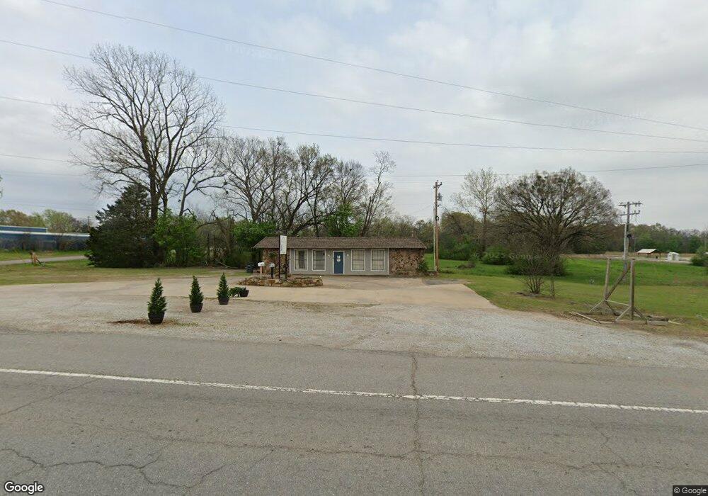
This home is located at 610 S Thornton St, Vian, OK 74962 and is currently priced at $173,500, approximately $96 per square foot. 610 S Thornton St is a home located in Sequoyah County with nearby schools including Vian Elementary School, Vian Middle School, and Vian High School.
Ownership History
Date
Name
Owned For
Owner Type
Purchase Details
Closed on
Oct 24, 2013
Sold by
Carlin Jimmie and Carlin Melinda
Bought by
Jcss Enterprises Llc
Current Estimated Value
Purchase Details
Closed on
Oct 15, 2010
Sold by
Higgins H Dewayne and Higgins Deborah
Bought by
Carlin Jimmie
Home Financials for this Owner
Home Financials are based on the most recent Mortgage that was taken out on this home.
Original Mortgage
$166,000
Interest Rate
4.38%
Mortgage Type
Future Advance Clause Open End Mortgage
Purchase Details
Closed on
Feb 19, 2004
Sold by
Johnson Haold and Johnson Frances
Bought by
Higgins H
Create a Home Valuation Report for This Property
The Home Valuation Report is an in-depth analysis detailing your home's value as well as a comparison with similar homes in the area
Home Values in the Area
Average Home Value in this Area
Purchase History
| Date | Buyer | Sale Price | Title Company |
|---|---|---|---|
| Jcss Enterprises Llc | -- | -- | |
| Carlin Jimmie | $90,000 | None Available | |
| Higgins H | $85,000 | -- |
Source: Public Records
Mortgage History
| Date | Status | Borrower | Loan Amount |
|---|---|---|---|
| Previous Owner | Carlin Jimmie | $166,000 |
Source: Public Records
Tax History Compared to Growth
Tax History
| Year | Tax Paid | Tax Assessment Tax Assessment Total Assessment is a certain percentage of the fair market value that is determined by local assessors to be the total taxable value of land and additions on the property. | Land | Improvement |
|---|---|---|---|---|
| 2024 | $1,761 | $17,236 | $1,696 | $15,540 |
| 2023 | $1,658 | $16,416 | $1,478 | $14,938 |
| 2022 | $1,516 | $15,634 | $1,436 | $14,198 |
| 2021 | $1,429 | $15,634 | $1,436 | $14,198 |
| 2020 | $1,412 | $14,181 | $1,357 | $12,824 |
| 2019 | $1,349 | $13,505 | $1,320 | $12,185 |
| 2018 | $1,160 | $12,862 | $1,320 | $11,542 |
| 2017 | $1,114 | $12,250 | $1,320 | $10,930 |
| 2016 | $1,065 | $11,666 | $1,320 | $10,346 |
| 2015 | $1,022 | $11,111 | $1,320 | $9,791 |
| 2014 | $983 | $10,582 | $1,320 | $9,262 |
Source: Public Records
Map
Nearby Homes
- 108 S Thornton St
- 715 S Clayton
- 304 Blackstone St
- 300 Blackstone St
- 613 S Rodgers St
- 713 Clayton St
- 503 Bonham St
- 000 Schley St
- 505 Avalon Dr
- 510 Beverly Ave
- TBD E 1055 Rd
- 109 W Lee St
- 601 E Schley St
- 802 Schley St
- 448159 E 979 Rd
- 607 E Schley St
- 457848 E 1013 Rd
- 54 N Rodgers St
- 111 E1030 Rd
- Lot 13 Jamatt Dr
- 610 Thornton St
- 207 E Sanders
- 31 Sanders St
- 730 S Thornton St
- 105823 Sanders St
- 105825 Sanders St
- 105817 Sanders St
- 105819 Sanders St
- 105821 Sanders St
- 105811 Sanders St
- 105815 Sanders St
- 105805 Sanders St
- 105807 Sanders St
- 105809 Sanders St
- 303 E Sanders St
- 404 S Thornton St
- 0 Hunter St Unit 1817996
- 0 Hunter St Unit 1906405
- 0 Hunter St Unit 1930884
- 101 Mayfield St