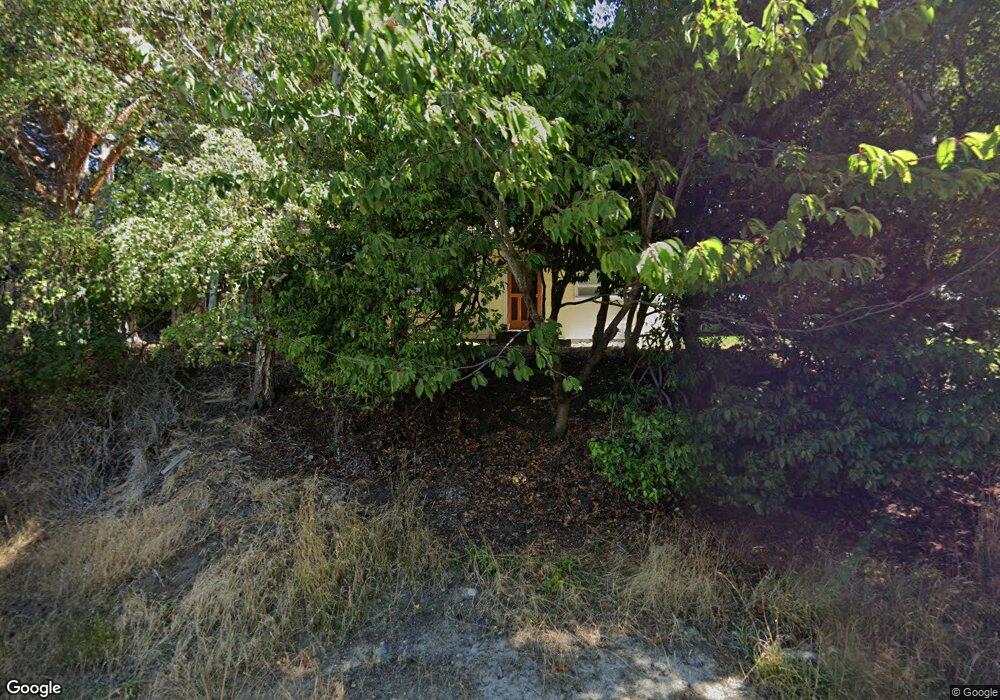
610 Scott St Port Townsend, WA 98368
Estimated Value: $615,000 - $734,642
2
Beds
2
Baths
825
Sq Ft
$836/Sq Ft
Est. Value
About This Home
This home is located at 610 Scott St, Port Townsend, WA 98368 and is currently estimated at $689,411, approximately $835 per square foot. 610 Scott St is a home located in Jefferson County with nearby schools including Salish Coast Elementary School, Blue Heron Middle School, and Port Townsend High School.
Ownership History
Date
Name
Owned For
Owner Type
Purchase Details
Closed on
Nov 24, 2020
Sold by
Emerick Denise
Bought by
Pitzel Bradley J and Pitzel Charina H
Current Estimated Value
Home Financials for this Owner
Home Financials are based on the most recent Mortgage that was taken out on this home.
Original Mortgage
$275,000
Outstanding Balance
$222,431
Interest Rate
2.7%
Mortgage Type
New Conventional
Estimated Equity
$466,980
Purchase Details
Closed on
Mar 14, 2018
Sold by
Emerick Denise and Estate Of Diana Seifert
Bought by
Emerick Denise
Create a Home Valuation Report for This Property
The Home Valuation Report is an in-depth analysis detailing your home's value as well as a comparison with similar homes in the area
Home Values in the Area
Average Home Value in this Area
Purchase History
| Date | Buyer | Sale Price | Title Company |
|---|---|---|---|
| Pitzel Bradley J | $525,000 | Jefferson Title Co Inc | |
| Emerick Denise | -- | None Available | |
| Emerick Denise | -- | None Available |
Source: Public Records
Mortgage History
| Date | Status | Borrower | Loan Amount |
|---|---|---|---|
| Open | Pitzel Bradley J | $275,000 |
Source: Public Records
Tax History Compared to Growth
Tax History
| Year | Tax Paid | Tax Assessment Tax Assessment Total Assessment is a certain percentage of the fair market value that is determined by local assessors to be the total taxable value of land and additions on the property. | Land | Improvement |
|---|---|---|---|---|
| 2024 | $4,382 | $516,547 | $262,500 | $254,047 |
| 2023 | $4,382 | $488,001 | $245,000 | $243,001 |
| 2022 | $4,155 | $483,001 | $240,000 | $243,001 |
| 2021 | $3,825 | $428,178 | $225,000 | $203,178 |
| 2020 | $3,399 | $380,160 | $198,000 | $182,160 |
| 2019 | $2,969 | $329,267 | $180,000 | $149,267 |
| 2018 | $3,246 | $312,441 | $172,500 | $139,941 |
| 2017 | $2,944 | $298,612 | $168,000 | $130,612 |
| 2016 | $2,694 | $289,282 | $168,000 | $121,282 |
| 2015 | $2,622 | $275,288 | $168,000 | $107,288 |
| 2014 | -- | $265,959 | $168,000 | $97,959 |
| 2013 | -- | $253,295 | $160,000 | $93,295 |
Source: Public Records
Map
Nearby Homes
- 2021 Clay St
- 1815 Lawrence St
- 1738 Washington St
- 1602 Lincoln St
- 1407 Jefferson St
- 7 XXX Water St
- 800 Polk St Unit 204C
- 301 E St
- 412 19th St
- 2514 Haines St
- 842 Washington St Unit 203
- 842 Washington St Unit 204
- 538 Adams St
- 1127 Adams St
- 533 Quincy St
- 710 18th St
- 702 Water St Unit 1-3
- 1627 Holcomb St
- 509 Garfield St
- 999 Jackman St