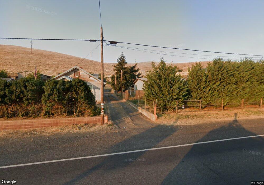
610 W Sperry St Heppner, OR 97836
Estimated Value: $231,824 - $282,000
4
Beds
2
Baths
2,210
Sq Ft
$116/Sq Ft
Est. Value
About This Home
This home is located at 610 W Sperry St, Heppner, OR 97836 and is currently estimated at $256,912, approximately $116 per square foot. 610 W Sperry St is a home located in Morrow County with nearby schools including Heppner Elementary School and Heppner Junior/Senior High School.
Ownership History
Date
Name
Owned For
Owner Type
Purchase Details
Closed on
Aug 18, 2016
Sold by
Stillman Randy L and Stillman Baryl L
Bought by
Stillman Randy L and Stillaman Barbara Ann
Current Estimated Value
Home Financials for this Owner
Home Financials are based on the most recent Mortgage that was taken out on this home.
Original Mortgage
$75,000
Outstanding Balance
$59,542
Interest Rate
3.41%
Mortgage Type
New Conventional
Estimated Equity
$197,370
Create a Home Valuation Report for This Property
The Home Valuation Report is an in-depth analysis detailing your home's value as well as a comparison with similar homes in the area
Purchase History
| Date | Buyer | Sale Price | Title Company |
|---|---|---|---|
| Stillman Randy L | $35,000 | Mid Columbia Title Company |
Source: Public Records
Mortgage History
| Date | Status | Borrower | Loan Amount |
|---|---|---|---|
| Open | Stillman Randy L | $75,000 |
Source: Public Records
Tax History
| Year | Tax Paid | Tax Assessment Tax Assessment Total Assessment is a certain percentage of the fair market value that is determined by local assessors to be the total taxable value of land and additions on the property. | Land | Improvement |
|---|---|---|---|---|
| 2025 | $3,060 | $113,700 | -- | -- |
| 2024 | $2,653 | $110,390 | -- | -- |
| 2023 | $2,499 | $107,180 | $0 | $0 |
| 2022 | $2,431 | $104,060 | $0 | $0 |
| 2021 | $1,971 | $101,030 | $0 | $0 |
| 2020 | $1,986 | $101,030 | $0 | $0 |
| 2019 | $1,887 | $98,090 | $0 | $0 |
Source: Public Records
Map
Nearby Homes
- 440 W Riverside St
- 387 E Linden Way
- 280 Water St
- 175 W Baltimore St
- 280 W Center St
- 315 N Gale St
- 300 N Chase St
- 310 N Chase St
- 61476 Dee Cox Rd
- 240 N Court St
- 140 S Chase St
- 120 N Gilmore St
- 53868 Highway 74
- 220 E Cannon St
- 235 Rock St
- 615 Hager St
- 680 S Alfalfa St
- 110 N Gilmore St
- 64209 Meadow Brook Rd
- 105 W Arcade St
- 610 W Sperry St
- 590 W Sperry St
- 615 W Sperry St
- 650 W Sperry St
- 620 W Sperry St
- 660 W Sperry St
- 605 W Morgan St
- 0 Sperry Unit 14014830
- 510 W Riverside St
- 0 Riverside Ave
- 525 W Morgan St
- 690 W Sperry St
- 540 W Morgan St
- 680 W Sperry St
- 515 W Morgan St
- 550 Riverside Ave
- 505 W Morgan St
- 485 W Morgan St
- 520 W Morgan St
- 460 W Riverside St
Your Personal Tour Guide
Ask me questions while you tour the home.