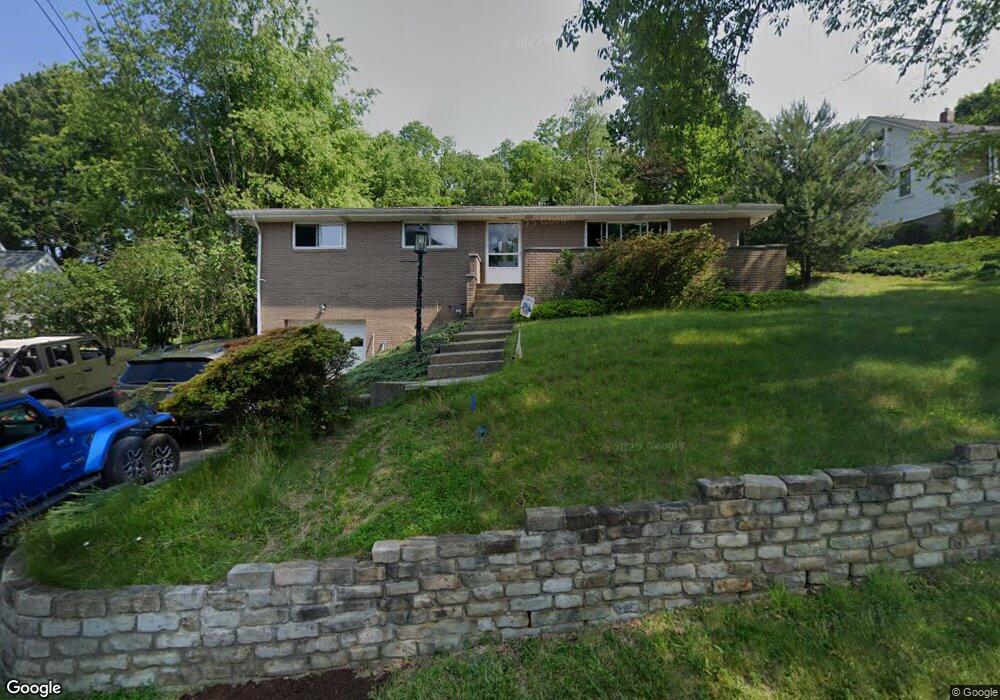
610 W Sutter Rd Glenshaw, PA 15116
Shaler Township NeighborhoodEstimated Value: $275,770 - $312,000
3
Beds
2
Baths
1,428
Sq Ft
$208/Sq Ft
Est. Value
About This Home
This home is located at 610 W Sutter Rd, Glenshaw, PA 15116 and is currently estimated at $296,443, approximately $207 per square foot. 610 W Sutter Rd is a home located in Allegheny County with nearby schools including Shaler Area Elementary School, Scott Primary School, and Shaler Area Middle School.
Ownership History
Date
Name
Owned For
Owner Type
Purchase Details
Closed on
Mar 26, 2009
Sold by
Craig Dorothy
Bought by
Latour Armand P
Current Estimated Value
Home Financials for this Owner
Home Financials are based on the most recent Mortgage that was taken out on this home.
Original Mortgage
$129,117
Outstanding Balance
$82,495
Interest Rate
5.14%
Mortgage Type
FHA
Estimated Equity
$213,948
Create a Home Valuation Report for This Property
The Home Valuation Report is an in-depth analysis detailing your home's value as well as a comparison with similar homes in the area
Home Values in the Area
Average Home Value in this Area
Purchase History
| Date | Buyer | Sale Price | Title Company |
|---|---|---|---|
| Latour Armand P | $131,500 | -- |
Source: Public Records
Mortgage History
| Date | Status | Borrower | Loan Amount |
|---|---|---|---|
| Open | Latour Armand P | $129,117 |
Source: Public Records
Tax History Compared to Growth
Tax History
| Year | Tax Paid | Tax Assessment Tax Assessment Total Assessment is a certain percentage of the fair market value that is determined by local assessors to be the total taxable value of land and additions on the property. | Land | Improvement |
|---|---|---|---|---|
| 2025 | $3,513 | $106,700 | $45,300 | $61,400 |
| 2024 | $3,513 | $106,700 | $45,300 | $61,400 |
| 2023 | $3,388 | $106,700 | $45,300 | $61,400 |
| 2022 | $3,388 | $106,700 | $45,300 | $61,400 |
| 2021 | $3,388 | $106,700 | $45,300 | $61,400 |
| 2020 | $3,388 | $106,700 | $45,300 | $61,400 |
| 2019 | $3,281 | $106,700 | $45,300 | $61,400 |
| 2018 | $505 | $106,700 | $45,300 | $61,400 |
| 2017 | $3,178 | $106,700 | $45,300 | $61,400 |
| 2016 | $505 | $106,700 | $45,300 | $61,400 |
| 2015 | $505 | $106,700 | $45,300 | $61,400 |
| 2014 | $3,047 | $106,700 | $45,300 | $61,400 |
Source: Public Records
Map
Nearby Homes
- 2818 Autumnwood Dr
- 3305 Laurel Dr
- 205 Hartle Rd
- 124 Marian Ave
- 2603 Sherwood Rd
- 102 Blaze Dr
- 2501 Oakwood Rd
- 100 Berkeley Meadows Ct
- 138 Peters Dr
- 140 Hodil Rd
- 103 Sycamore Dr
- 155 Cherrington Dr
- 120 Church Ave
- 113 Mcginley Dr
- 103 Hodil Rd
- 117 S Harleston Dr
- 2307 Mount Royal Blvd
- 447 Englewood Dr
- 211 Rosebriar Ave
- 308 Sandy Dr
- 612 W Sutter Rd
- 606 W Sutter Rd
- 2902 Greenfield Rd
- 2904 Greenfield Rd
- 607 W Sutter Rd
- 104 Shadycrest Dr
- 516 W Sutter Rd
- 611 W Sutter Rd
- 2906 Greenfield Rd
- 605 W Sutter Rd
- 2908 Greenfield Rd
- 2901 Greenfield Rd
- 2903 Greenfield Rd
- 603 W Sutter Rd
- 615 W Sutter Rd
- 2905 Greenfield Rd
- 508 W Sutter Rd
- 103 Richard Dr
- 2907 Greenfield Rd
- 2820 Clearview Dr