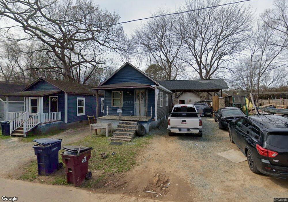
610 Washington Ave Unit 612 Sanford, NC 27330
Estimated Value: $100,045 - $142,000
1
Bed
1
Bath
657
Sq Ft
$181/Sq Ft
Est. Value
About This Home
This home is located at 610 Washington Ave Unit 612, Sanford, NC 27330 and is currently estimated at $119,011, approximately $181 per square foot. 610 Washington Ave Unit 612 is a home located in Lee County with nearby schools including Benjamin T. Bullock Elementary School, West Lee Middle School, and Lee County High School.
Ownership History
Date
Name
Owned For
Owner Type
Purchase Details
Closed on
Jun 5, 2015
Sold by
Lyons Roger W and Lyons Paige J
Bought by
Rios Daniel Mastache and Ventura Torres Karla Cecilia
Current Estimated Value
Home Financials for this Owner
Home Financials are based on the most recent Mortgage that was taken out on this home.
Original Mortgage
$32,000
Interest Rate
3.77%
Mortgage Type
Unknown
Purchase Details
Closed on
Feb 13, 1991
Sold by
Lyons Roger W
Bought by
Lyons Roger W
Create a Home Valuation Report for This Property
The Home Valuation Report is an in-depth analysis detailing your home's value as well as a comparison with similar homes in the area
Home Values in the Area
Average Home Value in this Area
Purchase History
| Date | Buyer | Sale Price | Title Company |
|---|---|---|---|
| Rios Daniel Mastache | $35,000 | None Available | |
| Lyons Roger W | -- | -- |
Source: Public Records
Mortgage History
| Date | Status | Borrower | Loan Amount |
|---|---|---|---|
| Closed | Rios Daniel Mastache | $32,000 |
Source: Public Records
Tax History Compared to Growth
Tax History
| Year | Tax Paid | Tax Assessment Tax Assessment Total Assessment is a certain percentage of the fair market value that is determined by local assessors to be the total taxable value of land and additions on the property. | Land | Improvement |
|---|---|---|---|---|
| 2025 | $1,566 | $69,700 | $8,800 | $60,900 |
| 2024 | $1,526 | $69,700 | $8,800 | $60,900 |
| 2023 | $1,506 | $69,700 | $8,800 | $60,900 |
| 2022 | $1,117 | $35,300 | $2,500 | $32,800 |
| 2021 | $1,089 | $34,000 | $2,500 | $31,500 |
| 2020 | $1,088 | $34,000 | $2,500 | $31,500 |
| 2019 | $1,008 | $34,000 | $2,500 | $31,500 |
| 2018 | $894 | $31,400 | $2,500 | $28,900 |
| 2017 | $888 | $31,400 | $2,500 | $28,900 |
| 2016 | $838 | $31,400 | $2,500 | $28,900 |
| 2014 | $814 | $31,400 | $2,500 | $28,900 |
Source: Public Records
Map
Nearby Homes
- 504 Summitt Dr
- 1203 Freeman Dr
- 305 Maple Ave
- 1205 Freeman Dr
- 1209 Freeman Dr
- 1234 Beta (Lot 19) Ct
- 1213 Freeman Dr
- 610 Pineland St
- 505 Cross St
- 915 S 3rd St
- 506 Cross St
- 210 N Monroe Ave
- 321 N Steele St
- 1313 Hooker St
- 620 Carr St
- 909 Whitford St
- 0 N Gulf St Unit 10076514
- 0 N Gulf St Unit 10079395
- 500 N Gulf St
- 816 W Rose St
- 614 Washington Ave
- 609 S Horner Blvd
- 704 Oddfellow St
- 616 Washington Ave Unit 618
- 708 Oddfellow St
- 700 Oddfellow St
- 611 Washington Ave
- 604 S Horner Blvd
- 619 Washington Ave Unit 623
- 622 Washington Ave
- 612 S Steele St
- 711 Oddfellow St
- 519 S Horner Blvd
- 612 N Steele St
- 618 S Steele St
- 628 S Steele St
- 729 Oddfellow St
- 601 Oddfellow St
- 700 Wall St
- 510 Ramseur St