6100 Markham Rd Sanford, FL 32771
Estimated Value: $539,000 - $636,000
3
Beds
3
Baths
1,689
Sq Ft
$350/Sq Ft
Est. Value
About This Home
This home is located at 6100 Markham Rd, Sanford, FL 32771 and is currently estimated at $590,416, approximately $349 per square foot. 6100 Markham Rd is a home located in Seminole County with nearby schools including Wilson Elementary School, Bentley Elementary School, and Idyllwilde Elementary School.
Ownership History
Date
Name
Owned For
Owner Type
Purchase Details
Closed on
Jun 5, 1996
Sold by
Tindel Michael A and Tindel Susan D
Bought by
George Stephen R
Current Estimated Value
Home Financials for this Owner
Home Financials are based on the most recent Mortgage that was taken out on this home.
Original Mortgage
$120,000
Outstanding Balance
$5,105
Interest Rate
7.88%
Mortgage Type
New Conventional
Estimated Equity
$585,311
Purchase Details
Closed on
Oct 1, 1982
Bought by
George Stephen R
Create a Home Valuation Report for This Property
The Home Valuation Report is an in-depth analysis detailing your home's value as well as a comparison with similar homes in the area
Home Values in the Area
Average Home Value in this Area
Purchase History
| Date | Buyer | Sale Price | Title Company |
|---|---|---|---|
| George Stephen R | $160,000 | -- | |
| George Stephen R | $100 | -- |
Source: Public Records
Mortgage History
| Date | Status | Borrower | Loan Amount |
|---|---|---|---|
| Open | George Stephen R | $120,000 |
Source: Public Records
Tax History
| Year | Tax Paid | Tax Assessment Tax Assessment Total Assessment is a certain percentage of the fair market value that is determined by local assessors to be the total taxable value of land and additions on the property. | Land | Improvement |
|---|---|---|---|---|
| 2025 | $2,876 | $229,664 | -- | -- |
| 2024 | $2,713 | $223,191 | -- | -- |
| 2023 | $2,646 | $216,690 | $0 | $0 |
| 2021 | $2,501 | $204,251 | $0 | $0 |
| 2020 | $2,478 | $201,431 | $0 | $0 |
| 2019 | $2,451 | $196,902 | $0 | $0 |
| 2018 | $2,427 | $193,231 | $0 | $0 |
| 2017 | $2,409 | $189,257 | $0 | $0 |
| 2016 | $2,440 | $186,662 | $0 | $0 |
| 2015 | $2,257 | $184,075 | $0 | $0 |
| 2014 | $2,257 | $182,614 | $0 | $0 |
Source: Public Records
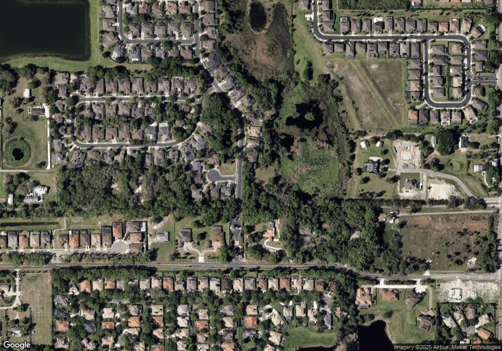
Map
Nearby Homes
- 6344 Bordeaux Cir
- 1560 Katie Cove
- 1555 Katie Cove
- 1351 Via Markham Ct
- 6125 Village Edge Place
- 1489 Langham Terrace
- 2145 Northumbria Dr
- 5769 Saybrook Cir
- 1473 Langham Terrace
- 6473 Everingham Ln
- 1886 Piedmont Place
- 1116 Saint Albans Loop
- 1895 Piedmont Place
- 1834 Piedmont Place
- 910 Brutus Terrace
- 1677 Utica Trail
- 1795 Piedmont Place
- 830 Brutus Terrace
- 5734 Lakeshore Grove Place
- 5610 Wilson Rd
- 1815 Merlot Dr
- 6595 Kyrkham Ct
- 1821 Merlot Dr
- 6090 Markham Rd
- 6589 Kyrkham Ct
- 1827 Merlot Dr
- 6050 Markham Rd
- 6588 Kyrkham Ct
- 6118 Markham Rd
- 6583 Kyrkham Ct
- 6577 Kyrkham Ct
- 6582 Kyrkham Ct
- 1833 Merlot Dr
- 6040 Markham Rd
- 6211 Bordeaux Cir
- 6205 Bordeaux Cir
- 6217 Bordeaux Cir
- 1839 Merlot Dr
- 1522 St Edmunds Place
- 1518 St Edmunds Place
Your Personal Tour Guide
Ask me questions while you tour the home.