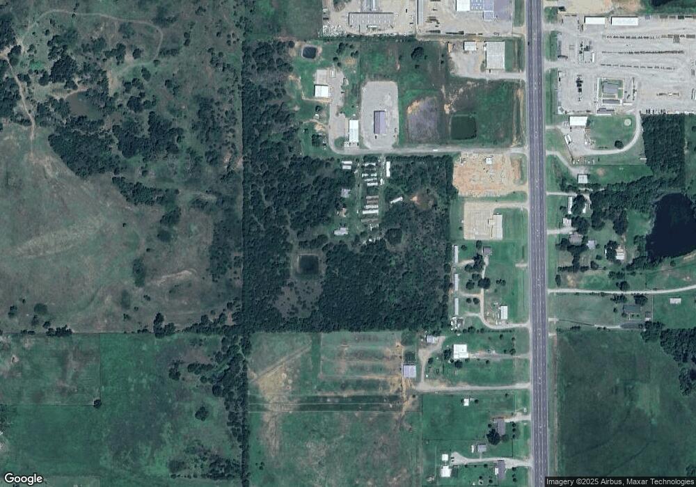
6100 Simpson Cir Stillwater, OK 74074
Estimated Value: $212,000 - $310,000
3
Beds
2
Baths
1,217
Sq Ft
$214/Sq Ft
Est. Value
About This Home
This home is located at 6100 Simpson Cir, Stillwater, OK 74074 and is currently estimated at $260,186, approximately $213 per square foot. 6100 Simpson Cir is a home with nearby schools including Perkins-Tryon Elementary School, Perkins-Tryon Intermediate Elementary School, and Perkins-Tryon Middle School.
Ownership History
Date
Name
Owned For
Owner Type
Purchase Details
Closed on
Jan 20, 2025
Sold by
Griffin Jane B and Griffin Jane E
Bought by
Wildhorse Minerals Llc
Current Estimated Value
Purchase Details
Closed on
Jan 11, 2024
Sold by
John A Mueggenborg Revocable Trust
Bought by
Honeysuckle Property Llc
Purchase Details
Closed on
Sep 11, 2008
Sold by
Board Of Regents Ford Of
Bought by
Doyal Elizabeth Rae
Create a Home Valuation Report for This Property
The Home Valuation Report is an in-depth analysis detailing your home's value as well as a comparison with similar homes in the area
Home Values in the Area
Average Home Value in this Area
Purchase History
| Date | Buyer | Sale Price | Title Company |
|---|---|---|---|
| Wildhorse Minerals Llc | -- | None Listed On Document | |
| Wildhorse Minerals Llc | -- | None Listed On Document | |
| Honeysuckle Property Llc | -- | None Listed On Document | |
| Doyal Elizabeth Rae | -- | None Available |
Source: Public Records
Tax History Compared to Growth
Tax History
| Year | Tax Paid | Tax Assessment Tax Assessment Total Assessment is a certain percentage of the fair market value that is determined by local assessors to be the total taxable value of land and additions on the property. | Land | Improvement |
|---|---|---|---|---|
| 2024 | $846 | $10,899 | $8,077 | $2,822 |
| 2023 | $846 | $10,899 | $7,147 | $3,752 |
| 2022 | $924 | $10,582 | $7,173 | $3,409 |
| 2021 | $891 | $10,274 | $7,135 | $3,139 |
| 2020 | $863 | $9,974 | $8,291 | $1,683 |
| 2019 | $851 | $9,685 | $8,050 | $1,635 |
| 2018 | $821 | $9,402 | $7,602 | $1,800 |
| 2017 | $800 | $9,129 | $5,655 | $3,474 |
| 2016 | $756 | $8,863 | $5,413 | $3,450 |
| 2015 | $828 | $8,605 | $5,236 | $3,369 |
| 2014 | -- | $8,195 | $4,954 | $3,241 |
Source: Public Records
Map
Nearby Homes
- 312 Bandera St
- 305 Moreland Ct
- 318 Moreland Ct
- 214 Bandera St
- 7211 Brookwater Way
- 7109 Brookwater Way
- 220 Bandera St
- 121 Bandera St
- 7310 Brookwater Way
- 7203 Brookwater Way
- 7125 Brookwater Way
- 7310 Westchester Way
- 306 E Moreland
- 311 E Moreland
- 221 Stonebrairr Ct
- 2202 E 56th St
- 4020 S Blackberry St
- 4012 S Blackberry St
- 7612 S Perkins Rd
- 110 Coondog Ct
- 0 60th St
- 6102 S Perkins Rd
- 6120 S Perkins Rd
- 505 E 58th St
- 6107 S Perkins Rd
- 6218 S Perkins Rd
- 6304 S Perkins Rd
- 6121 S Perkins Rd
- 6312 S Perkins Rd
- 7304 Westchester Way
- 7222 Westchester Way Ct
- 6320 S Perkins Rd
- 303 Blanco Bend
- 324 Moreland Ct
- 5806 S Perkins Rd
- 216 Blanco Bend
- 5704 S Perkins Rd
- 309 Blanco Bend
- 310 Blanco Bend
- 7217 Westchester Way Ct
