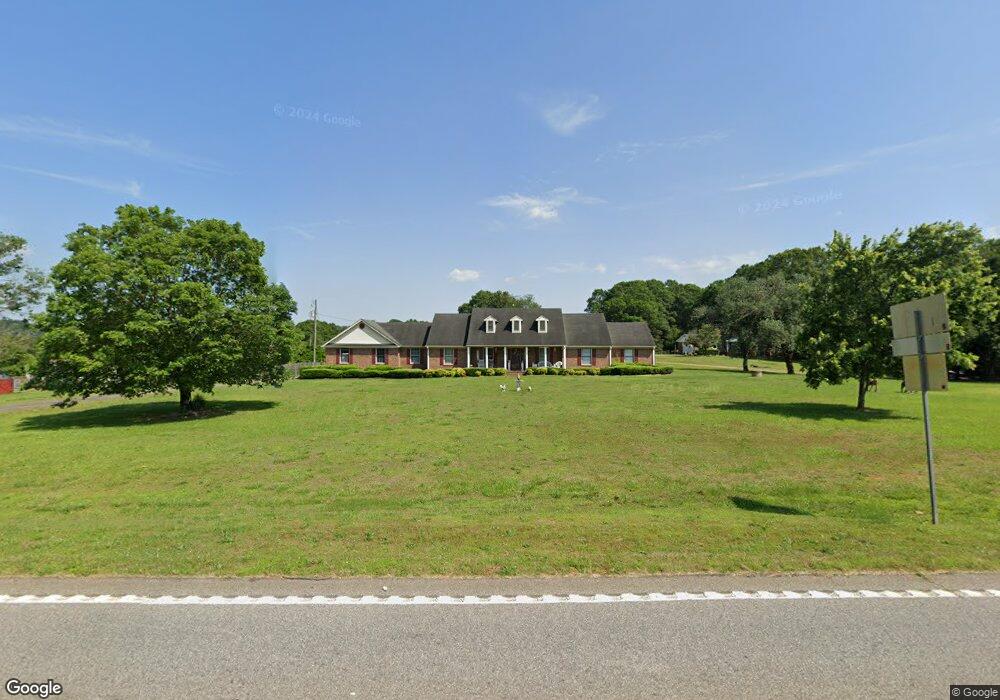
6101 Highway 29 Royston, GA 30662
Estimated Value: $287,000 - $354,000
3
Beds
3
Baths
2,580
Sq Ft
$124/Sq Ft
Est. Value
About This Home
This home is located at 6101 Highway 29, Royston, GA 30662 and is currently estimated at $320,516, approximately $124 per square foot. 6101 Highway 29 is a home located in Franklin County with nearby schools including Franklin County High School.
Ownership History
Date
Name
Owned For
Owner Type
Purchase Details
Closed on
Dec 18, 2024
Sold by
Cape Alice M
Bought by
Gayton Klinton Brooks
Current Estimated Value
Home Financials for this Owner
Home Financials are based on the most recent Mortgage that was taken out on this home.
Original Mortgage
$279,354
Outstanding Balance
$277,178
Interest Rate
6.84%
Mortgage Type
New Conventional
Estimated Equity
$43,338
Purchase Details
Closed on
Aug 5, 1996
Bought by
Cape Ron H and Cape Alice M
Create a Home Valuation Report for This Property
The Home Valuation Report is an in-depth analysis detailing your home's value as well as a comparison with similar homes in the area
Home Values in the Area
Average Home Value in this Area
Purchase History
| Date | Buyer | Sale Price | Title Company |
|---|---|---|---|
| Gayton Klinton Brooks | $289,000 | -- | |
| Cape Ron H | $88,000 | -- |
Source: Public Records
Mortgage History
| Date | Status | Borrower | Loan Amount |
|---|---|---|---|
| Open | Gayton Klinton Brooks | $279,354 |
Source: Public Records
Tax History Compared to Growth
Tax History
| Year | Tax Paid | Tax Assessment Tax Assessment Total Assessment is a certain percentage of the fair market value that is determined by local assessors to be the total taxable value of land and additions on the property. | Land | Improvement |
|---|---|---|---|---|
| 2024 | $2,597 | $129,123 | $3,535 | $125,588 |
| 2023 | $2,012 | $97,965 | $3,214 | $94,751 |
| 2022 | $1,772 | $88,689 | $2,494 | $86,195 |
| 2021 | $1,600 | $78,152 | $2,494 | $75,658 |
| 2020 | $1,520 | $64,678 | $2,494 | $62,184 |
| 2019 | $1,208 | $64,678 | $2,494 | $62,184 |
| 2018 | $1,224 | $55,581 | $3,170 | $52,411 |
| 2017 | $1,273 | $55,581 | $3,170 | $52,411 |
| 2016 | $1,096 | $47,547 | $3,170 | $44,377 |
| 2015 | -- | $47,547 | $3,170 | $44,377 |
| 2014 | -- | $47,548 | $3,170 | $44,377 |
| 2013 | -- | $48,252 | $3,170 | $45,081 |
Source: Public Records
Map
Nearby Homes
- 955 Collins Dudley Rd
- 0 Dickson Dr Unit 416392
- 0 Dickson Dr Unit 7594620
- 0 Dickson Dr Unit 23800701
- 0 Dickson Dr Unit 10539867
- 1745 Hannah Creek Church Rd
- 66 Topaz Ln
- 1350 Baker Rd
- 0 S Tanglewood Dr Unit 1027287
- 0 S Tanglewood Dr Unit 10538269
- 0 Dove Hill Rd Unit 25439972
- 0 Dove Hill Rd Unit 10637645
- 329 Riverbend Dr
- 1112 Reno Rd
- 157 Riverbend Cir
- 706 Sam Bruce Rd
- 222 Reno Rd
- 1344 Jim Grizzle Rd
- 450 Stagecoach Way
- 3322 Cheek Pulliam Rd