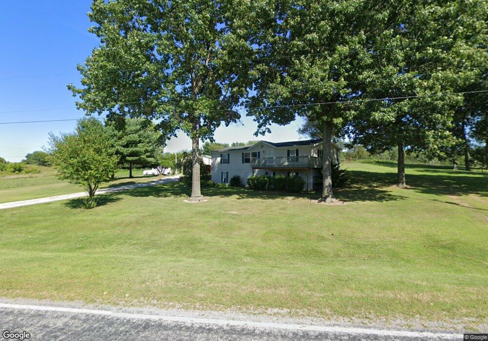
61011 Anderson Rd Dowagiac, MI 49047
Estimated Value: $197,289 - $248,000
--
Bed
--
Bath
1,456
Sq Ft
$151/Sq Ft
Est. Value
About This Home
This home is located at 61011 Anderson Rd, Dowagiac, MI 49047 and is currently estimated at $220,572, approximately $151 per square foot. 61011 Anderson Rd is a home located in Cass County with nearby schools including Sam Adams Elementary School, Cassopolis Middle School, and Cassopolis Ross Beatty High School.
Ownership History
Date
Name
Owned For
Owner Type
Purchase Details
Closed on
Dec 9, 2008
Sold by
Benson Dorothy and Dempsey Dorothy
Bought by
Dempsey Dorothy
Current Estimated Value
Home Financials for this Owner
Home Financials are based on the most recent Mortgage that was taken out on this home.
Original Mortgage
$136,586
Outstanding Balance
$90,995
Interest Rate
6.3%
Estimated Equity
$129,577
Purchase Details
Closed on
Apr 26, 2004
Sold by
Benson Charles L
Bought by
Benson Dorothy
Create a Home Valuation Report for This Property
The Home Valuation Report is an in-depth analysis detailing your home's value as well as a comparison with similar homes in the area
Home Values in the Area
Average Home Value in this Area
Purchase History
| Date | Buyer | Sale Price | Title Company |
|---|---|---|---|
| Dempsey Dorothy | -- | None Available | |
| Benson Dorothy | -- | -- |
Source: Public Records
Mortgage History
| Date | Status | Borrower | Loan Amount |
|---|---|---|---|
| Open | Dempsey Dorothy | $136,586 |
Source: Public Records
Tax History Compared to Growth
Tax History
| Year | Tax Paid | Tax Assessment Tax Assessment Total Assessment is a certain percentage of the fair market value that is determined by local assessors to be the total taxable value of land and additions on the property. | Land | Improvement |
|---|---|---|---|---|
| 2025 | $1,569 | $84,800 | $84,800 | $0 |
| 2024 | $662 | $86,200 | $86,200 | $0 |
| 2023 | $631 | $70,900 | $0 | $0 |
| 2022 | $601 | $57,600 | $0 | $0 |
| 2021 | $1,371 | $55,100 | $0 | $0 |
| 2020 | $1,358 | $54,300 | $0 | $0 |
| 2019 | $1,326 | $54,000 | $0 | $0 |
| 2018 | $592 | $60,700 | $0 | $0 |
| 2017 | $580 | $63,300 | $0 | $0 |
| 2016 | $575 | $65,100 | $0 | $0 |
| 2015 | -- | $60,900 | $0 | $0 |
| 2011 | -- | $60,400 | $0 | $0 |
Source: Public Records
Map
Nearby Homes
- 28873 Pokagon Hwy
- 29002 Pokagon Hwy
- 29002 Pokagon Hwy
- 28878 Pokagon Hwy
- 28874 Pokagon Hwy
- 61217 Anderson Rd
- 28860 Pokagon Hwy
- 28798 Pokagon Hwy
- 28798 Pokagon Hwy
- 28773 Pokagon Hwy
- 28768 Pokagon Hwy
- 28687 Pokagon Hwy
- 60909 Woodland Dr
- 60665 Woodland Dr
- 60866 Woodland Dr
- 29300 Pokagon Hwy
- 60818 Woodland Dr
- 60818 Woodland Dr
- 49 Woodland Dr
- 0 Woodland Dr