Estimated Value: $79,000 - $255,914
3
Beds
1
Bath
1,680
Sq Ft
$112/Sq Ft
Est. Value
About This Home
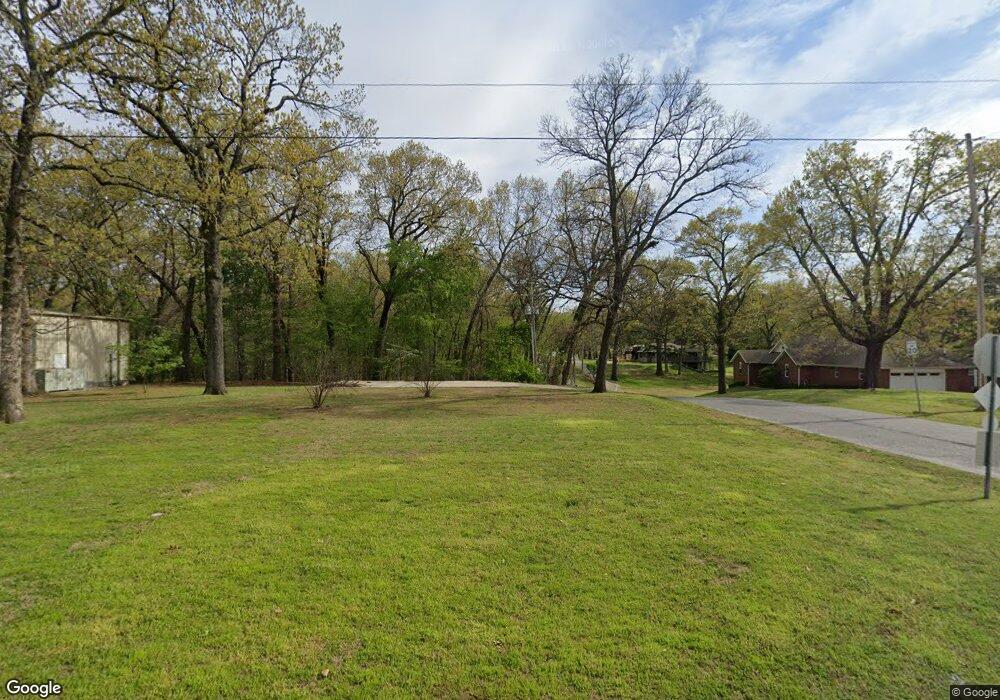
This home is located at 61016 E 310 Rd, Grove, OK 74344 and is currently estimated at $188,979, approximately $112 per square foot. 61016 E 310 Rd is a home located in Delaware County with nearby schools including Grove Lower Elementary School, Grove Upper Elementary School, and Grove Middle School.
Ownership History
Date
Name
Owned For
Owner Type
Purchase Details
Closed on
Dec 5, 2025
Sold by
Russell Renee J and Renee J Russell Family Revocable Living
Bought by
Ellevate Flats Lp
Current Estimated Value
Purchase Details
Closed on
Dec 13, 2022
Sold by
Mri Llc
Bought by
Russell Mike
Purchase Details
Closed on
Oct 3, 2006
Sold by
Griffin Lois Charlene
Bought by
Mri Llc
Home Financials for this Owner
Home Financials are based on the most recent Mortgage that was taken out on this home.
Original Mortgage
$85,344
Interest Rate
8.25%
Mortgage Type
Future Advance Clause Open End Mortgage
Purchase Details
Closed on
Dec 29, 2000
Sold by
Ratcliff Rick L and Ratcliff Vonnie R
Create a Home Valuation Report for This Property
The Home Valuation Report is an in-depth analysis detailing your home's value as well as a comparison with similar homes in the area
Home Values in the Area
Average Home Value in this Area
Purchase History
| Date | Buyer | Sale Price | Title Company |
|---|---|---|---|
| Ellevate Flats Lp | -- | None Listed On Document | |
| Russell Mike | -- | -- | |
| Russell Mike | -- | -- | |
| Mri Llc | $94,000 | -- | |
| -- | $78,000 | -- |
Source: Public Records
Mortgage History
| Date | Status | Borrower | Loan Amount |
|---|---|---|---|
| Previous Owner | Mri Llc | $85,344 |
Source: Public Records
Tax History
| Year | Tax Paid | Tax Assessment Tax Assessment Total Assessment is a certain percentage of the fair market value that is determined by local assessors to be the total taxable value of land and additions on the property. | Land | Improvement |
|---|---|---|---|---|
| 2025 | $148 | $1,830 | $1,830 | $0 |
| 2024 | $141 | $1,743 | $1,743 | $0 |
| 2023 | $141 | $1,660 | $1,660 | $0 |
| 2022 | $132 | $1,581 | $1,581 | $0 |
| 2021 | $132 | $1,581 | $1,581 | $0 |
| 2020 | $368 | $4,341 | $1,581 | $2,760 |
| 2019 | $389 | $4,578 | $1,581 | $2,997 |
| 2018 | $398 | $4,688 | $1,581 | $3,107 |
| 2017 | $402 | $4,723 | $1,581 | $3,142 |
| 2016 | $405 | $4,760 | $1,581 | $3,179 |
| 2015 | $474 | $5,491 | $1,466 | $4,025 |
| 2014 | $476 | $5,491 | $1,466 | $4,025 |
Source: Public Records
Map
Nearby Homes
- 61113 E 310 Rd
- 1629 Pine Dr
- 3110 Old Dike Rd
- 3101 Shore Dr Unit 5
- 3114 Buffalo Ln
- 3112 Shore Dr
- 25101 S 613
- 3126 Shore Dr
- 3400 Callie Dr
- 1709 Cardiac Cove Rd
- 1307 W 16th St
- 1621 Rockwood Dr
- 31797 S 598 Ct
- 2373 Melody Point Cir
- 3456 Scenic Dr
- 2668 Shasten St
- 2666 Shasten St
- 2243 Lower Waterfall Rd
- 1305 Dubois
- 61950 E 315 Rd
- 0 E 310 Rd
- 000 E 310 Rd
- 1504 Wyant Rd
- 1222 Wyatt
- 2615 Spruce St
- 61057 E 310 Rd
- 2609 Wyant Rd
- 2606 Thompson Rd
- 1506 Wyant Rd
- 2607 Thompson Rd
- 2605 Thompson Rd
- 2602 Thompson Rd
- 2611 Wyant Rd
- 61085 E 310 Rd
- 1508 Wyant Rd
- 2720 Thompson Rd Unit Lot 4,unit II
- 2720 Thompson Rd
- 61070 E 310 Rd
- 2616 Spruce St
- 2614 Spruce St
Your Personal Tour Guide
Ask me questions while you tour the home.