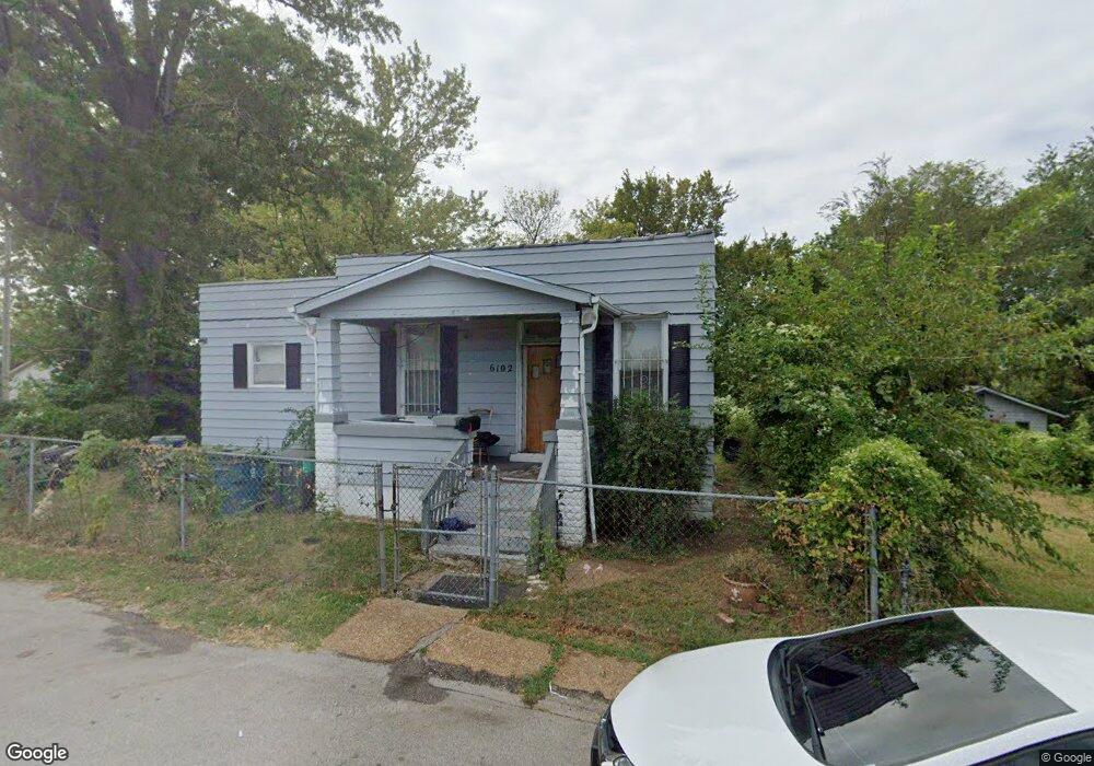
6102 Charlotte Ave Saint Louis, MO 63120
Estimated Value: $47,000 - $92,000
2
Beds
1
Bath
992
Sq Ft
$69/Sq Ft
Est. Value
About This Home
This home is located at 6102 Charlotte Ave, Saint Louis, MO 63120 and is currently estimated at $68,627, approximately $69 per square foot. 6102 Charlotte Ave is a home located in St. Louis County with nearby schools including Normandy High School, Aspire Academy, and St. Ann Catholic School.
Ownership History
Date
Name
Owned For
Owner Type
Purchase Details
Closed on
Aug 31, 2020
Sold by
Unify Investments Llc
Bought by
Kordan Properties Llc
Current Estimated Value
Purchase Details
Closed on
Feb 18, 2019
Sold by
Hood Willie T
Bought by
Unify Investments Llc
Home Financials for this Owner
Home Financials are based on the most recent Mortgage that was taken out on this home.
Original Mortgage
$11,250
Interest Rate
4.4%
Mortgage Type
Stand Alone First
Create a Home Valuation Report for This Property
The Home Valuation Report is an in-depth analysis detailing your home's value as well as a comparison with similar homes in the area
Home Values in the Area
Average Home Value in this Area
Purchase History
| Date | Buyer | Sale Price | Title Company |
|---|---|---|---|
| Kordan Properties Llc | $28,500 | Vision Title Llc | |
| Kordan Properties Llc | -- | Vision Title & Escrow | |
| Unify Investments Llc | -- | Vision Title Llc |
Source: Public Records
Mortgage History
| Date | Status | Borrower | Loan Amount |
|---|---|---|---|
| Previous Owner | Unify Investments Llc | $11,250 |
Source: Public Records
Tax History Compared to Growth
Tax History
| Year | Tax Paid | Tax Assessment Tax Assessment Total Assessment is a certain percentage of the fair market value that is determined by local assessors to be the total taxable value of land and additions on the property. | Land | Improvement |
|---|---|---|---|---|
| 2025 | $974 | $12,450 | $1,600 | $10,850 |
| 2024 | $974 | $10,300 | $400 | $9,900 |
| 2023 | $974 | $10,300 | $400 | $9,900 |
| 2022 | $628 | $5,510 | $800 | $4,710 |
| 2021 | $609 | $5,510 | $800 | $4,710 |
| 2020 | $601 | $5,330 | $860 | $4,470 |
| 2019 | $596 | $5,330 | $860 | $4,470 |
| 2018 | $565 | $4,750 | $910 | $3,840 |
| 2017 | $560 | $4,750 | $910 | $3,840 |
| 2016 | $540 | $4,330 | $910 | $3,420 |
| 2015 | $525 | $4,330 | $910 | $3,420 |
| 2014 | $685 | $5,840 | $1,430 | $4,410 |
Source: Public Records
Map
Nearby Homes
- 4310 Dardenne Dr
- 6124 Otto Ave
- 6128 Bircher St
- 4206 Rosewood Ave
- 5817 Dressell Ave
- 6211 Westerhoff Ave
- 4230 Jennings Station Rd
- 6231 Dardanella Ave
- 4232 Jennings Station Rd
- 4211 Ravenwood Ave
- 3438 Pine Grove Ave
- 4218 Edgewood Blvd
- 2505 Crescent Ave
- 3460 Oakdale Ave
- 3604 Ridgedale Ave
- 6604 Hazen Ave
- 34 Blakemore Place
- 3442 Oakdale Ave
- 3429 Pine Grove Ave
- 6709 Stratford Ave
- 6104 Charlotte Ave
- 6108 Charlotte Ave
- 6110 Charlotte Ave
- 6105 Vetter Place
- 3914 Council Grove
- 3910 Council Grove
- 3920 Council Grove
- 3908 Council Grove
- 6109 Vetter Place
- 6107 Charlotte Ave
- 3906 Council Grove
- 6111 Charlotte Ave
- 3924 Council Grove
- 6109 Charlotte Ave
- 3902 Council Grove
- 6115 Vetter Place
- 6113 Charlotte Ave
- 3901 Philbrook Ave
- 3831 Philbrook Ave
- 3907 Philbrook Ave