6102 S Nebraska St Marion, IN 46953
Estimated Value: $248,000 - $449,424
4
Beds
3
Baths
3,262
Sq Ft
$104/Sq Ft
Est. Value
About This Home
This home is located at 6102 S Nebraska St, Marion, IN 46953 and is currently estimated at $340,606, approximately $104 per square foot. 6102 S Nebraska St is a home located in Grant County with nearby schools including Westview Elementary School, Northview Elementary School, and R.J. Baskett Middle School.
Ownership History
Date
Name
Owned For
Owner Type
Purchase Details
Closed on
Jun 30, 2007
Sold by
Frase Donald M and Frase Susan
Bought by
Page Timothy K and Page Rochelle L
Current Estimated Value
Home Financials for this Owner
Home Financials are based on the most recent Mortgage that was taken out on this home.
Original Mortgage
$206,000
Outstanding Balance
$128,218
Interest Rate
6.42%
Mortgage Type
New Conventional
Estimated Equity
$212,388
Create a Home Valuation Report for This Property
The Home Valuation Report is an in-depth analysis detailing your home's value as well as a comparison with similar homes in the area
Home Values in the Area
Average Home Value in this Area
Purchase History
| Date | Buyer | Sale Price | Title Company |
|---|---|---|---|
| Page Timothy K | -- | None Available |
Source: Public Records
Mortgage History
| Date | Status | Borrower | Loan Amount |
|---|---|---|---|
| Open | Page Timothy K | $206,000 |
Source: Public Records
Tax History Compared to Growth
Tax History
| Year | Tax Paid | Tax Assessment Tax Assessment Total Assessment is a certain percentage of the fair market value that is determined by local assessors to be the total taxable value of land and additions on the property. | Land | Improvement |
|---|---|---|---|---|
| 2024 | $3,484 | $336,800 | $35,400 | $301,400 |
| 2023 | $2,908 | $296,600 | $35,400 | $261,200 |
| 2022 | $2,855 | $283,300 | $35,400 | $247,900 |
| 2021 | $2,567 | $254,600 | $35,400 | $219,200 |
| 2020 | $2,443 | $242,400 | $33,800 | $208,600 |
| 2019 | $2,481 | $238,600 | $34,300 | $204,300 |
| 2018 | $2,093 | $216,200 | $34,300 | $181,900 |
| 2017 | $1,826 | $204,400 | $34,300 | $170,100 |
| 2016 | $1,658 | $197,900 | $32,700 | $165,200 |
| 2014 | $1,802 | $227,000 | $32,700 | $194,300 |
| 2013 | $1,802 | $226,500 | $32,700 | $193,800 |
Source: Public Records
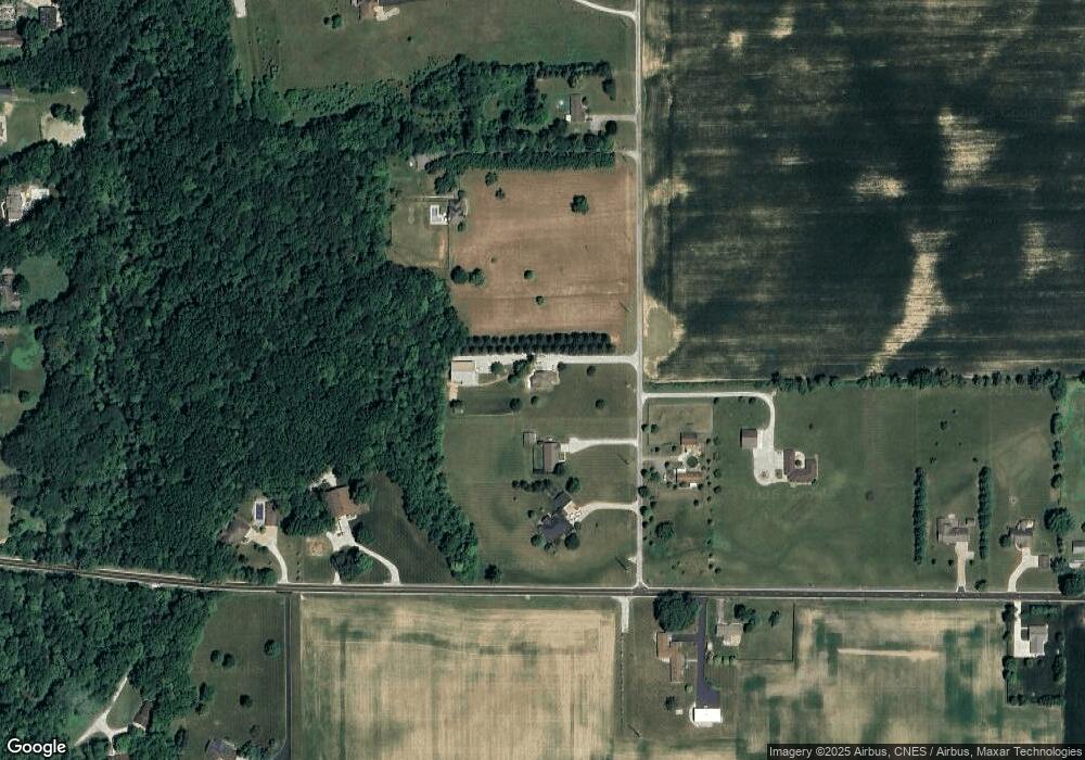
Map
Nearby Homes
- 6970 S Maple Dr
- 1508 W Glendale Dr
- 5416 S Baldwin Ave
- 1765 E Old Kokomo Rd
- 5440 S Adams St
- 906 E 49th St
- 4118 S Landess St
- 712 W 9th St
- 4305 Wildoner Dr
- 401 W 39th St
- 3808 S Carey St
- 3907 Joshua Dr
- 206 S Main St
- 303 S Main St
- 3640 S Adams St
- 1026 E 38th St
- 3640 S Washington St
- 3820 Shadowbrook Dr
- 204 W 8th St
- 517 S Main St
- 6116 S Nebraska St
- 548 W Old Kokomo Rd
- 758 W Old Kokomo Rd
- 6018 S Nebraska St
- 6101 S Nebraska St
- 6002 S Nebraska St
- 265 W Old Kokomo Rd
- 245 W Old Kokomo Rd
- 5946 S Nebraska St
- 202 W Old Kokomo Rd
- 5850 S Nebraska St
- 812 W Old Kokomo Rd
- 845 W Old Kokomo Rd
- 98 W Old Kokomo Rd
- 897 W Old Kokomo Rd
- 6019 S Harmon St
- 5985 S Harmon St
- 45 W Old Kokomo Rd
- 6103 S Harmon St
- 6123 S Harmon St