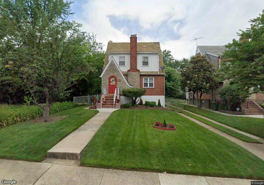
6102 Sefton Ave Baltimore, MD 21214
Westfield NeighborhoodEstimated Value: $227,000 - $279,353
--
Bed
1
Bath
1,314
Sq Ft
$193/Sq Ft
Est. Value
About This Home
This home is located at 6102 Sefton Ave, Baltimore, MD 21214 and is currently estimated at $253,177, approximately $192 per square foot. 6102 Sefton Ave is a home located in Baltimore City with nearby schools including Hamilton Elementary Middle School, Booker T. Washington Middle School, and Paul Laurence Dunbar High School.
Ownership History
Date
Name
Owned For
Owner Type
Purchase Details
Closed on
May 7, 1999
Sold by
Rorke John P
Bought by
Williams Cassuis M and Clark Williams Daphiney R
Current Estimated Value
Create a Home Valuation Report for This Property
The Home Valuation Report is an in-depth analysis detailing your home's value as well as a comparison with similar homes in the area
Home Values in the Area
Average Home Value in this Area
Purchase History
| Date | Buyer | Sale Price | Title Company |
|---|---|---|---|
| Williams Cassuis M | $90,000 | -- |
Source: Public Records
Tax History Compared to Growth
Tax History
| Year | Tax Paid | Tax Assessment Tax Assessment Total Assessment is a certain percentage of the fair market value that is determined by local assessors to be the total taxable value of land and additions on the property. | Land | Improvement |
|---|---|---|---|---|
| 2025 | $3,398 | $164,067 | -- | -- |
| 2024 | $3,398 | $156,200 | $51,500 | $104,700 |
| 2023 | $3,324 | $153,400 | $0 | $0 |
| 2022 | $3,264 | $150,600 | $0 | $0 |
| 2021 | $3,488 | $147,800 | $51,500 | $96,300 |
| 2020 | $3,104 | $143,067 | $0 | $0 |
| 2019 | $2,977 | $138,333 | $0 | $0 |
| 2018 | $2,948 | $133,600 | $51,500 | $82,100 |
| 2017 | $2,974 | $133,600 | $0 | $0 |
| 2016 | $2,787 | $133,600 | $0 | $0 |
| 2015 | $2,787 | $140,200 | $0 | $0 |
| 2014 | $2,787 | $140,200 | $0 | $0 |
Source: Public Records
Map
Nearby Homes
- 6113 Sefton Ave
- 6015 Sefton Ave
- 6405 Sefton Ave
- 3400 Glenmore Ave
- 3013 Westfield Ave
- 6201 Carter Ave
- 6207 Eastern Pkwy
- 5919 Sefton Ave
- 6402 Moyer Ave
- 6303 Moyer Ave
- 3027 Fleetwood Ave
- 2926 Christopher Ave
- 3018 Mary Ave
- 2905 Westfield Ave
- 2924 Fleetwood Ave
- 6508 Belle Vista Ave
- 3616 Bellevale Ave
- 6110 Old Harford Rd
- 3010 Northway Dr
- 3401 White Ave
- 6100 Sefton Ave
- 6104 Sefton Ave
- 6106 Sefton Ave
- 6020 Sefton Ave
- 6201 Burgess Ave
- 6203 Burgess Ave
- 6108 Sefton Ave
- 6205 Burgess Ave
- 6018 Sefton Ave
- 6101 Sefton Ave
- 6017 Burgess Ave
- 6110 Sefton Ave
- 6105 Sefton Ave
- 6017 Sefton Ave
- 6207 Burgess Ave
- 6107 Sefton Ave
- 6016 Sefton Ave
- 6015 Burgess Ave
- 6112 Sefton Ave
- 6109 Sefton Ave