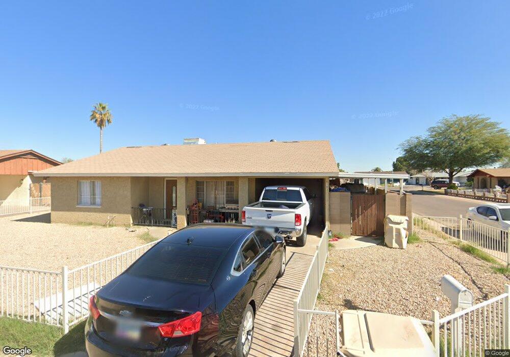
6103 N 72nd Dr Glendale, AZ 85303
Estimated Value: $277,988 - $352,000
--
Bed
2
Baths
1,327
Sq Ft
$242/Sq Ft
Est. Value
About This Home
This home is located at 6103 N 72nd Dr, Glendale, AZ 85303 and is currently estimated at $320,747, approximately $241 per square foot. 6103 N 72nd Dr is a home located in Maricopa County with nearby schools including Desert Garden Elementary School, Challenger Middle School, and Independence High School.
Ownership History
Date
Name
Owned For
Owner Type
Purchase Details
Closed on
Aug 18, 2008
Sold by
Delgado Cesar Ramirez
Bought by
Quezada Linda A
Current Estimated Value
Purchase Details
Closed on
Jan 27, 2006
Sold by
Devere James E
Bought by
Vasquez Herlinda
Home Financials for this Owner
Home Financials are based on the most recent Mortgage that was taken out on this home.
Original Mortgage
$126,800
Interest Rate
6.16%
Mortgage Type
New Conventional
Purchase Details
Closed on
Mar 16, 1995
Sold by
Janson Judith M
Bought by
Devere James E
Create a Home Valuation Report for This Property
The Home Valuation Report is an in-depth analysis detailing your home's value as well as a comparison with similar homes in the area
Home Values in the Area
Average Home Value in this Area
Purchase History
| Date | Buyer | Sale Price | Title Company |
|---|---|---|---|
| Quezada Linda A | -- | None Available | |
| Quezada Linda A | -- | None Available | |
| Vasquez Herlinda | $158,500 | Stewart Title & Trust Of Pho | |
| Devere James E | -- | -- |
Source: Public Records
Mortgage History
| Date | Status | Borrower | Loan Amount |
|---|---|---|---|
| Previous Owner | Vasquez Herlinda | $126,800 |
Source: Public Records
Tax History Compared to Growth
Tax History
| Year | Tax Paid | Tax Assessment Tax Assessment Total Assessment is a certain percentage of the fair market value that is determined by local assessors to be the total taxable value of land and additions on the property. | Land | Improvement |
|---|---|---|---|---|
| 2025 | $874 | $6,547 | -- | -- |
| 2024 | $801 | $6,236 | -- | -- |
| 2023 | $801 | $22,980 | $4,590 | $18,390 |
| 2022 | $796 | $16,770 | $3,350 | $13,420 |
| 2021 | $786 | $15,250 | $3,050 | $12,200 |
| 2020 | $793 | $14,000 | $2,800 | $11,200 |
| 2019 | $784 | $12,280 | $2,450 | $9,830 |
| 2018 | $755 | $10,760 | $2,150 | $8,610 |
| 2017 | $762 | $9,260 | $1,850 | $7,410 |
| 2016 | $719 | $7,750 | $1,550 | $6,200 |
| 2015 | $667 | $6,660 | $1,330 | $5,330 |
Source: Public Records
Map
Nearby Homes
- 6039 N 73rd Ave
- 7136 W Palo Verde Dr
- 7211 W Claremont St Unit 1
- 7138 W Rancho Dr
- 7409 W Peck Dr
- 5751 N 71st Dr
- 5801 N 73rd Ave
- 7423 W Cavalier Dr
- 7424 W Cavalier Dr
- 7181 W Citrus Way
- 7356 W Solano Dr S
- 7413 W Peck Dr
- Pinehurst Plan at Bethany Grove
- Sycamore Plan at Bethany Grove
- Grand Plan at Bethany Grove
- Seneca Plan at Bethany Grove
- Shiloh Plan at Bethany Grove
- Ellison Plan at Bethany Grove
- 7368 W Solano Dr S
- 7435 W Rose Ln
- 6105 N 72nd Dr
- 6102 N 71st Ln Unit 1
- 6106 N 71st Ln
- 6109 N 72nd Dr
- 7207 W Keim Dr
- 6042 N 72nd Dr
- 7201 W Keim Dr
- 6104 N 72nd Dr
- 6108 N 71st Ln
- 6036 N 72nd Dr
- 7149 W Keim Dr
- 6032 N 72nd Dr
- 6041 N 72nd Ln
- 7214 W Cavalier Dr
- 7145 W Keim Dr
- 6105 N 71st Ln
- 7210 W Cavalier Dr
- 6028 N 72nd Dr
- 7225 W Peck Dr
- 7225 W Peck Dr