6103 Trask Rd Thompson, OH 44086
Estimated Value: $334,000 - $449,000
3
Beds
2
Baths
1,305
Sq Ft
$309/Sq Ft
Est. Value
About This Home
This home is located at 6103 Trask Rd, Thompson, OH 44086 and is currently estimated at $403,157, approximately $308 per square foot. 6103 Trask Rd is a home located in Lake County with nearby schools including Henry F. Lamuth Middle School and Riverside Junior/Senior High School.
Ownership History
Date
Name
Owned For
Owner Type
Purchase Details
Closed on
Sep 12, 2004
Sold by
Simon Joyce
Bought by
Demarco David and Demarco Cynthia
Current Estimated Value
Purchase Details
Closed on
Sep 7, 2004
Sold by
Miller Joyce M
Bought by
Simon Joyce
Purchase Details
Closed on
Mar 26, 1987
Bought by
Miller Joyce M
Create a Home Valuation Report for This Property
The Home Valuation Report is an in-depth analysis detailing your home's value as well as a comparison with similar homes in the area
Purchase History
| Date | Buyer | Sale Price | Title Company |
|---|---|---|---|
| Demarco David | $25,000 | -- | |
| Simon Joyce | -- | -- | |
| Miller Joyce M | -- | -- |
Source: Public Records
Tax History
| Year | Tax Paid | Tax Assessment Tax Assessment Total Assessment is a certain percentage of the fair market value that is determined by local assessors to be the total taxable value of land and additions on the property. | Land | Improvement |
|---|---|---|---|---|
| 2025 | -- | $143,420 | $92,680 | $50,740 |
| 2024 | $6,545 | $143,420 | $92,680 | $50,740 |
| 2023 | -- | $85,130 | $45,400 | $39,730 |
| 2022 | $4,576 | $85,130 | $45,400 | $39,730 |
| 2021 | $4,591 | $85,130 | $45,400 | $39,730 |
| 2020 | $4,334 | $70,940 | $37,830 | $33,110 |
| 2019 | $4,372 | $70,940 | $37,830 | $33,110 |
| 2018 | $4,222 | $61,970 | $32,460 | $29,510 |
| 2017 | $3,871 | $61,970 | $32,460 | $29,510 |
| 2016 | $3,571 | $61,970 | $32,460 | $29,510 |
| 2015 | $3,388 | $61,970 | $32,460 | $29,510 |
| 2014 | $3,450 | $61,970 | $32,460 | $29,510 |
| 2013 | $3,394 | $61,970 | $32,460 | $29,510 |
Source: Public Records
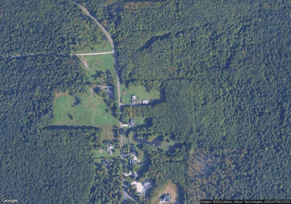
Map
Nearby Homes
- 15594 Moseley Rd
- 6615 Clay St
- 13537 Shirley Dr
- V/L Leroy Center Rd
- 16107 Moseley Rd
- 6042 Ford Rd
- 5004 River Rd
- 5040 River Rd
- 4785 Riverwood Dr
- 5810 Dewey Rd
- 4725 Webb Rd
- 4671 Milford Dr
- 13849 Painesville Warren Rd
- V/L 2 Leroy Center Rd
- V/L 4 Painesville Warren Rd
- 7771 Lester Dr
- V/L 5 Painesville Warren Rd
- V/L 3 Painesville Warren Rd
- 4454 S Ridge Rd
- 4308 Dogwood Ave
- 6113 Trask Rd
- 6062 Trask Rd Unit 2
- 6062 Trask Rd Unit 1
- 0 Trask Rd Unit 3992596
- 0 Trask Rd Unit 3221447
- 0 Trask Rd Unit 3231453
- 0 Trask Rd Unit 3386261
- 0 Trask Rd Unit 3902448
- 0 Trask Rd Unit 277583
- 0 Trask Rd Unit 258680
- 0 Trask Rd Unit 292135
- 0 Trask Rd Unit 606351
- 0 Trask Rd Unit 4497135
- 0 Trask Rd Unit 4337162
- 0 Trask Rd Unit 3685073
- V/L Trask Rd
- 6147 Trask Rd
- 6134 Trask Rd
- 6158 Trask Rd
- 6149 Trask Rd
Your Personal Tour Guide
Ask me questions while you tour the home.