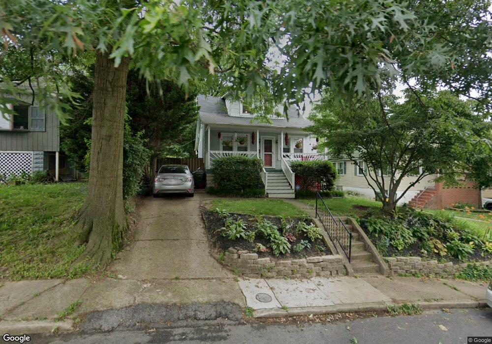
6104 Bertram Ave Baltimore, MD 21214
Westfield NeighborhoodEstimated Value: $212,000 - $253,594
Studio
1
Bath
1,032
Sq Ft
$226/Sq Ft
Est. Value
About This Home
This home is located at 6104 Bertram Ave, Baltimore, MD 21214 and is currently estimated at $232,797, approximately $225 per square foot. 6104 Bertram Ave is a home located in Baltimore City with nearby schools including Glenmount Elementary/Middle School, Booker T. Washington Middle School, and Paul Laurence Dunbar High School.
Ownership History
Date
Name
Owned For
Owner Type
Purchase Details
Closed on
Jul 1, 2004
Sold by
Treaster Cristin E
Bought by
Dewitt Laurie
Current Estimated Value
Purchase Details
Closed on
Jun 2, 2004
Sold by
Treaster Cristin E
Bought by
Dewitt Laurie
Purchase Details
Closed on
May 5, 1999
Sold by
Reese Timothy J
Bought by
Treaster Cristin E
Create a Home Valuation Report for This Property
The Home Valuation Report is an in-depth analysis detailing your home's value as well as a comparison with similar homes in the area
Home Values in the Area
Average Home Value in this Area
Purchase History
| Date | Buyer | Sale Price | Title Company |
|---|---|---|---|
| Dewitt Laurie | $114,000 | -- | |
| Dewitt Laurie | $114,000 | -- | |
| Treaster Cristin E | $68,400 | -- |
Source: Public Records
Tax History
| Year | Tax Paid | Tax Assessment Tax Assessment Total Assessment is a certain percentage of the fair market value that is determined by local assessors to be the total taxable value of land and additions on the property. | Land | Improvement |
|---|---|---|---|---|
| 2025 | $2,898 | $137,833 | -- | -- |
| 2024 | $2,898 | $132,300 | $51,200 | $81,100 |
| 2023 | $2,822 | $129,367 | $0 | $0 |
| 2022 | $2,759 | $126,433 | $0 | $0 |
| 2021 | $2,915 | $123,500 | $51,200 | $72,300 |
| 2020 | $2,642 | $120,633 | $0 | $0 |
| 2019 | $2,562 | $117,767 | $0 | $0 |
| 2018 | $2,464 | $114,900 | $51,200 | $63,700 |
| 2017 | $2,573 | $114,900 | $0 | $0 |
| 2016 | $334 | $114,900 | $0 | $0 |
| 2015 | $334 | $116,800 | $0 | $0 |
| 2014 | $334 | $116,800 | $0 | $0 |
Source: Public Records
Map
Nearby Homes
- 6103 Glenoak Ave
- 6015 Sefton Ave
- 6201 Carter Ave
- 6113 Sefton Ave
- 5932 Bertram Ave
- 0 Royston Ave
- 3300 Westfield Ave
- 6303 Moyer Ave
- 5921 Burgess Ave
- 3043 Pinewood Ave
- 5900 Winthrope Ave
- 6508 Belle Vista Ave
- 3018 Mary Ave
- 3509 White Ave
- 3714 Mayberry Ave Unit F
- 3714 Mayberry Ave Unit D
- 3302 E Northern Pkwy
- 6431 Walther Ave Unit A
- 6429 Walther Ave Unit F
- 3712 Mayberry Ave Unit A
- 6106 Bertram Ave
- 6102 Bertram Ave
- 6108 Bertram Ave
- 6100 Bertram Ave
- 6107 Glenoak Ave
- 6109 Glenoak Ave
- 6105 Glenoak Ave
- 3400 Royston Ave
- 6110 Bertram Ave
- 6210 Carter Ave
- 6111 Glenoak Ave
- 3402 Royston Ave
- 6113 Glenoak Ave
- 6112 Bertram Ave
- 6101 Glenoak Ave
- 6014 Bertram Ave
- 6115 Glenoak Ave
- 3404 Royston Ave
- 6220 Carter Ave
- 3401 Royston Ave
Your Personal Tour Guide
Ask me questions while you tour the home.