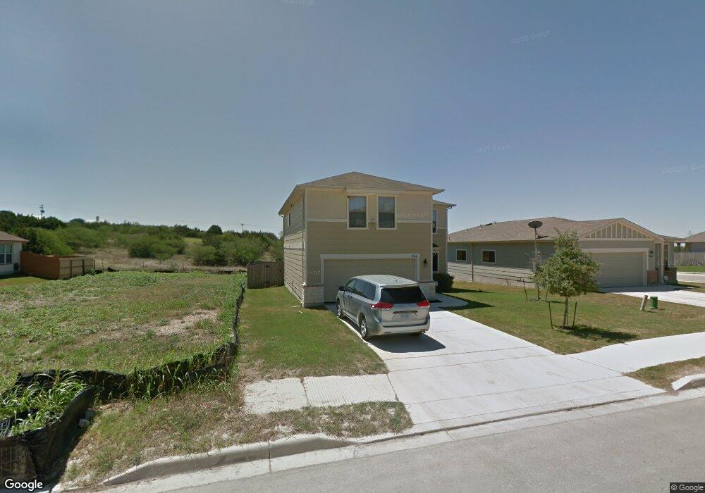
6104 Fred Couples Schertz, TX 78108
Northcliffe NeighborhoodEstimated Value: $263,000 - $299,000
4
Beds
3
Baths
1,888
Sq Ft
$147/Sq Ft
Est. Value
About This Home
This home is located at 6104 Fred Couples, Schertz, TX 78108 and is currently estimated at $278,335, approximately $147 per square foot. 6104 Fred Couples is a home located in Guadalupe County with nearby schools including John A. Sippel Elementary School, Elaine S Schlather Intermediate School, and Dobie J High School.
Ownership History
Date
Name
Owned For
Owner Type
Purchase Details
Closed on
Nov 20, 2008
Sold by
Kb Home Lone Star Inc
Bought by
Carter Kyanusoke K
Current Estimated Value
Home Financials for this Owner
Home Financials are based on the most recent Mortgage that was taken out on this home.
Original Mortgage
$113,464
Outstanding Balance
$76,010
Interest Rate
6.5%
Mortgage Type
Purchase Money Mortgage
Estimated Equity
$202,325
Create a Home Valuation Report for This Property
The Home Valuation Report is an in-depth analysis detailing your home's value as well as a comparison with similar homes in the area
Home Values in the Area
Average Home Value in this Area
Purchase History
| Date | Buyer | Sale Price | Title Company |
|---|---|---|---|
| Carter Kyanusoke K | -- | Alamo Title |
Source: Public Records
Mortgage History
| Date | Status | Borrower | Loan Amount |
|---|---|---|---|
| Open | Carter Kyanusoke K | $113,464 |
Source: Public Records
Tax History Compared to Growth
Tax History
| Year | Tax Paid | Tax Assessment Tax Assessment Total Assessment is a certain percentage of the fair market value that is determined by local assessors to be the total taxable value of land and additions on the property. | Land | Improvement |
|---|---|---|---|---|
| 2025 | $4,149 | $244,698 | $38,374 | $206,324 |
| 2024 | $4,149 | $272,855 | $39,529 | $258,959 |
| 2023 | $4,836 | $248,050 | $43,476 | $234,524 |
| 2022 | $4,879 | $225,500 | $15,000 | $249,382 |
| 2021 | $4,732 | $205,000 | $25,350 | $179,650 |
| 2020 | $4,662 | $201,246 | $23,100 | $178,146 |
| 2019 | $4,487 | $188,000 | $23,400 | $164,600 |
| 2018 | $4,375 | $185,304 | $23,400 | $161,904 |
| 2017 | $4,042 | $175,279 | $19,883 | $155,396 |
| 2016 | $4,041 | $172,257 | $19,883 | $152,374 |
| 2015 | $4,042 | $161,975 | $19,883 | $142,092 |
| 2014 | $3,713 | $155,910 | $15,000 | $140,910 |
Source: Public Records
Map
Nearby Homes
- 5752 Ping Way
- 6211 Fred Couples
- 5709 Ping Way
- 5700 Ty Lindstrom
- 5705 Maxfli Dr
- 4231 Hansford Way
- 6017 Scenic Links
- 4116 Whisper Point
- 3529 Cliffside Dr
- 3804 Pheasant
- 2311 Carson Cove
- 3949 Whisper Point
- 4128 Wensledale Dr
- 4116 Wensledale Dr
- 2308 Carson Cove
- 4503 Yoakum Valley
- 2312 Carson Cove
- 4502 Yoakum Valley
- 4507 Yoakum Valley
- 4511 Yoakum Valley
- 6108 Fred Couples
- 6100 Fred Couples
- 6112 Fred Couples
- 5761 Columbia Dr
- 5761 Columbia Dr
- 6116 Fred Couples
- 6056 Fred Couples
- 5756 Ping Way
- 5757 Columbia Dr
- 6120 Fred Couples
- 6052 Fred Couples
- 5753 Columbia Dr
- 5748 Ping Way
- 5760 Columbia Dr
- 6124 Fred Couples
- 6048 Fred Couples
- 5757 Ping Way
- 5756 Columbia Dr
- 5744 Ping Way
- 5747 Columbia Dr