Estimated Value: $580,000
--
Bed
2
Baths
4,647
Sq Ft
$125/Sq Ft
Est. Value
About This Home
This home is located at 6104 W Pauling Rd, Monee, IL 60449 and is currently estimated at $580,000, approximately $124 per square foot. 6104 W Pauling Rd is a home located in Will County with nearby schools including Monee Elementary School, Crete-Monee Middle School, and Crete-Monee High School.
Ownership History
Date
Name
Owned For
Owner Type
Purchase Details
Closed on
May 12, 2022
Sold by
Chicago Title Land Trust Company
Bought by
Harvey E Hartman Loving Trust
Current Estimated Value
Purchase Details
Closed on
May 12, 2005
Sold by
Harvey E Hartman Loving Trust
Bought by
First National Bank and Trust #8658
Purchase Details
Closed on
Aug 30, 1999
Sold by
First National Bank Of Blue Island
Bought by
Harvey E Hartman Loving Trust and Patricia Hartman Loving Trust
Purchase Details
Closed on
Jun 2, 1999
Sold by
Vandyck Kenneth and Vandyck Susan Jo
Bought by
First National Bank Of Blue Island
Create a Home Valuation Report for This Property
The Home Valuation Report is an in-depth analysis detailing your home's value as well as a comparison with similar homes in the area
Home Values in the Area
Average Home Value in this Area
Purchase History
| Date | Buyer | Sale Price | Title Company |
|---|---|---|---|
| Harvey E Hartman Loving Trust | -- | None Listed On Document | |
| First National Bank | -- | -- | |
| Harvey E Hartman Loving Trust | $245,000 | First American Title | |
| First National Bank Of Blue Island | -- | -- |
Source: Public Records
Tax History Compared to Growth
Tax History
| Year | Tax Paid | Tax Assessment Tax Assessment Total Assessment is a certain percentage of the fair market value that is determined by local assessors to be the total taxable value of land and additions on the property. | Land | Improvement |
|---|---|---|---|---|
| 2024 | $10,981 | $143,732 | $43,378 | $100,354 |
| 2023 | $10,981 | $123,930 | $37,418 | $86,512 |
| 2022 | $10,011 | $110,579 | $32,925 | $77,654 |
| 2021 | $9,391 | $100,845 | $30,231 | $70,614 |
| 2020 | $9,339 | $97,542 | $29,217 | $68,325 |
| 2019 | $9,036 | $92,478 | $27,684 | $64,794 |
| 2018 | $8,916 | $90,402 | $27,040 | $63,362 |
| 2017 | $8,730 | $88,134 | $25,956 | $62,178 |
| 2016 | $8,573 | $84,886 | $24,984 | $59,902 |
| 2015 | $7,995 | $79,777 | $23,399 | $56,378 |
| 2014 | $7,995 | $77,365 | $22,691 | $54,674 |
| 2013 | $7,995 | $84,014 | $23,729 | $60,285 |
Source: Public Records
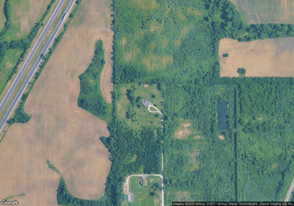
Map
Nearby Homes
- 6531 W Cedar Ct
- 5548 W Heatherbrook Trail
- 26616 S Egyptian Trail
- 4300 W Pauling Rd
- 5531 W Hilltop Rd
- 27202 S Egyptian Trail
- 5456 W Heatherbrook Trail
- 26852 S Meghan Ct S
- 5705 W Timberlane
- 27308 S Egyptian Trail
- 26711 S Greenbriar Dr
- 26760 S Fox Wood Dr
- 26256 S Plum Tree Ln
- 26149 S Locust Place
- Lot 4 S Governors Hwy
- 5320 W Orchard Trail
- 25927 Derby Dr
- 25958 S Locust Place
- 5421 W Main St
- 5420 W Main St
- 6120 W Pauling Rd
- 6032 W Pauling Rd
- 5964 S Governors Hwy
- 26945 S Governors Hwy
- 26903 S Governors Hwy
- V0 W Pauling Rd
- 0000 W Pauling Rd
- 0 W Pauling Rd
- 0 W Pauling Rd Unit GNR328875
- 0 W Pauling Rd Unit GNR309159
- 0 W Pauling Rd Unit 7763361
- 5760 W Laurel Ln
- 5840 W Pauling Rd
- 26749 S Governors Hwy
- 26626 S Ridgeland Ave
- 5808 W Pauling Rd
- 26725 S Governors Hwy
- LOT 7 Pauling Rd
- LOT # 7 W Pauling Rd
- LOT # 30 Pauling Rd