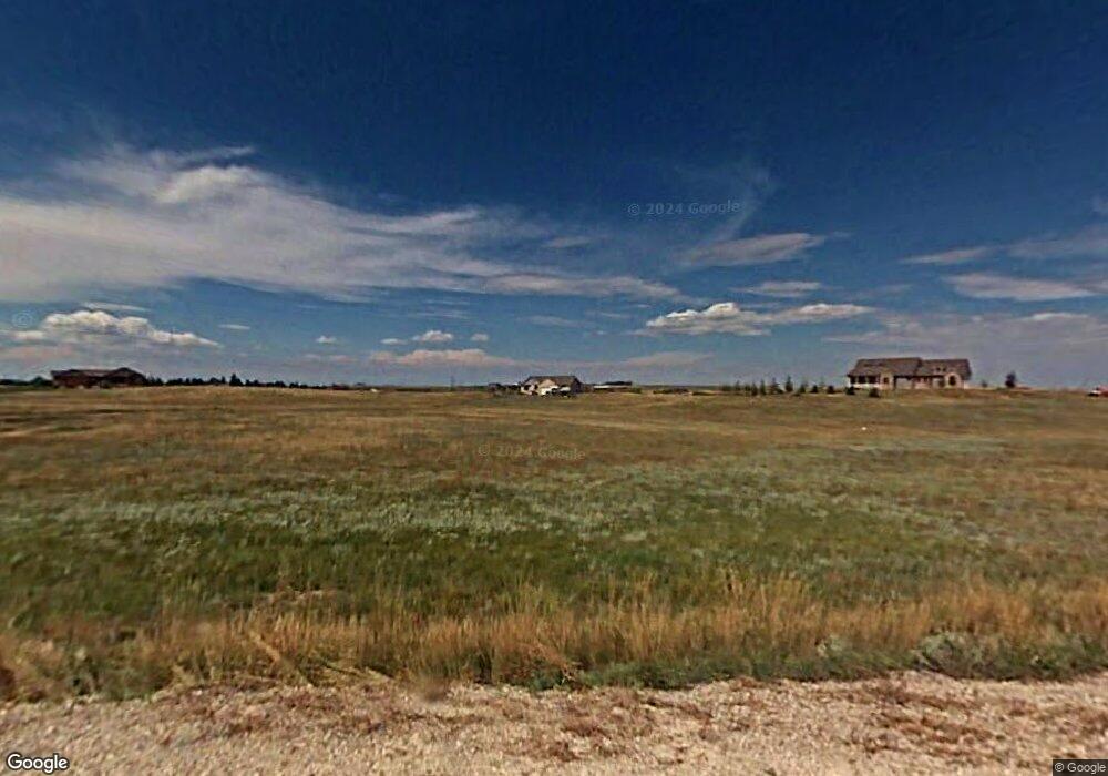
6105 Thunder Ridge Rd Cheyenne, WY 82009
Ranchettes NeighborhoodEstimated Value: $520,000 - $740,049
--
Bed
--
Bath
1,711
Sq Ft
$381/Sq Ft
Est. Value
About This Home
This home is located at 6105 Thunder Ridge Rd, Cheyenne, WY 82009 and is currently estimated at $651,350, approximately $380 per square foot. 6105 Thunder Ridge Rd is a home located in Laramie County with nearby schools including Prairie Wind Elementary School, McCormick Junior High School, and Central High School.
Ownership History
Date
Name
Owned For
Owner Type
Purchase Details
Closed on
May 31, 2005
Sold by
Aspen Construction Co Inc
Bought by
Parker Michael D and Parker Debra D
Current Estimated Value
Home Financials for this Owner
Home Financials are based on the most recent Mortgage that was taken out on this home.
Original Mortgage
$272,437
Outstanding Balance
$145,237
Interest Rate
6.09%
Mortgage Type
Fannie Mae Freddie Mac
Estimated Equity
$506,113
Create a Home Valuation Report for This Property
The Home Valuation Report is an in-depth analysis detailing your home's value as well as a comparison with similar homes in the area
Home Values in the Area
Average Home Value in this Area
Purchase History
| Date | Buyer | Sale Price | Title Company |
|---|---|---|---|
| Parker Michael D | -- | -- |
Source: Public Records
Mortgage History
| Date | Status | Borrower | Loan Amount |
|---|---|---|---|
| Open | Parker Michael D | $272,437 |
Source: Public Records
Tax History Compared to Growth
Tax History
| Year | Tax Paid | Tax Assessment Tax Assessment Total Assessment is a certain percentage of the fair market value that is determined by local assessors to be the total taxable value of land and additions on the property. | Land | Improvement |
|---|---|---|---|---|
| 2025 | $4,401 | $52,946 | $12,662 | $40,284 |
| 2024 | $4,401 | $68,475 | $16,882 | $51,593 |
| 2023 | $3,679 | $58,982 | $12,602 | $46,380 |
| 2022 | $3,026 | $48,041 | $8,412 | $39,629 |
| 2021 | $2,825 | $44,952 | $8,026 | $36,926 |
| 2020 | $2,740 | $43,804 | $7,241 | $36,563 |
| 2019 | $2,633 | $42,188 | $7,241 | $34,947 |
| 2018 | $2,471 | $40,146 | $7,241 | $32,905 |
| 2017 | $2,440 | $39,324 | $7,241 | $32,083 |
| 2016 | $2,366 | $38,206 | $6,585 | $31,621 |
| 2015 | $2,286 | $37,008 | $6,585 | $30,423 |
| 2014 | $2,278 | $36,650 | $6,585 | $30,065 |
Source: Public Records
Map
Nearby Homes
- TBD Klipstein Rd
- Tract 10 Klipstein Rd
- Lot 17 Foxhill Rd
- Lot 18 Foxhill Rd
- Tract 22 Rich Strike Rd
- Tract 19 Rich Strike Rd
- Tract 116 Rich Strike Rd
- Tract 11 Klipstein Rd
- Tract 23 Rich Strike Rd
- Tract 112 Rich Strike Rd
- Tract 106 Rich Strike Rd
- Tract 107 Rich Strike Rd
- Tract 110 Rich Strike Rd
- Tract 113 Rich Strike Rd
- Tr2 N Milliron Rd
- 4704 Horse Creek Rd
- Tract 114 Rich Strike Rd
- Tract 115 Rich Strike Rd
- 7407 Rich Strike Ct
- TR61 Cattlemans Dr
- 6021 Thunder Ridge Rd
- 6161 Thunder Ridge Rd
- 5996 Klipstein Rd
- 5935 Thunder Ridge Rd
- 6247 Thunder Ridge Rd
- 5900 Klipstein Rd
- 5960 Klipstein Rd
- 6132 Thunder Ridge Rd
- 6078 Thunder Ridge Rd
- 6010 Klipstein Rd
- 6020 Thunder Ridge Rd
- 6160 Thunder Ridge Rd
- 5520 Klipstein Rd
- 5966 Thunder Ridge Rd
- 5853 Thunder Ridge Rd
- 6114 Klipstein Rd
- 12350 Legend Trail
- 5910 Thunder Ridge Rd
- 12202 Legend Trail
- 5410 Klipstein Rd
