6106 Brookside Ln Unit 3 Hoschton, GA 30548
Estimated Value: $577,000 - $631,706
3
Beds
3
Baths
2,435
Sq Ft
$251/Sq Ft
Est. Value
About This Home
This home is located at 6106 Brookside Ln Unit 3, Hoschton, GA 30548 and is currently estimated at $611,177, approximately $250 per square foot. 6106 Brookside Ln Unit 3 is a home located in Hall County with nearby schools including Spout Springs Elementary School, Cherokee Bluff Middle School, and Cherokee Bluff High School.
Ownership History
Date
Name
Owned For
Owner Type
Purchase Details
Closed on
Jul 31, 2007
Sold by
Pulte Home Corporation
Bought by
Keenan John F
Current Estimated Value
Home Financials for this Owner
Home Financials are based on the most recent Mortgage that was taken out on this home.
Original Mortgage
$336,000
Outstanding Balance
$209,459
Interest Rate
6.63%
Mortgage Type
New Conventional
Estimated Equity
$401,718
Purchase Details
Closed on
Aug 28, 2006
Sold by
Vintage Communities Inc
Bought by
Pulte Home Corporation
Create a Home Valuation Report for This Property
The Home Valuation Report is an in-depth analysis detailing your home's value as well as a comparison with similar homes in the area
Home Values in the Area
Average Home Value in this Area
Purchase History
| Date | Buyer | Sale Price | Title Company |
|---|---|---|---|
| Keenan John F | $420,000 | -- | |
| Pulte Home Corporation | $7,078,800 | -- |
Source: Public Records
Mortgage History
| Date | Status | Borrower | Loan Amount |
|---|---|---|---|
| Open | Keenan John F | $336,000 |
Source: Public Records
Tax History Compared to Growth
Tax History
| Year | Tax Paid | Tax Assessment Tax Assessment Total Assessment is a certain percentage of the fair market value that is determined by local assessors to be the total taxable value of land and additions on the property. | Land | Improvement |
|---|---|---|---|---|
| 2025 | $1,790 | $256,800 | $55,040 | $201,760 |
| 2024 | $2,091 | $240,640 | $51,000 | $189,640 |
| 2023 | $1,762 | $212,720 | $51,720 | $161,000 |
| 2022 | $1,890 | $198,240 | $33,720 | $164,520 |
| 2021 | $2,173 | $218,400 | $33,720 | $184,680 |
| 2020 | $2,148 | $210,760 | $33,720 | $177,040 |
| 2019 | $5,124 | $183,680 | $30,000 | $153,680 |
| 2018 | $5,634 | $195,520 | $32,720 | $162,800 |
| 2017 | $5,154 | $181,240 | $32,720 | $148,520 |
| 2016 | $4,691 | $168,680 | $32,720 | $135,960 |
| 2015 | $3,712 | $158,800 | $32,720 | $126,080 |
| 2014 | $3,712 | $155,800 | $32,720 | $123,080 |
Source: Public Records
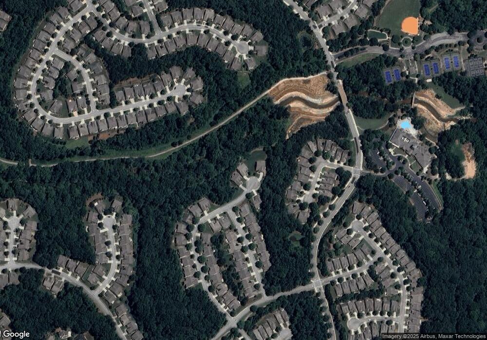
Map
Nearby Homes
- 6146 Brookside Ln Unit 3
- 6707 Amherst Dr
- 6614 Covered Bridge Way
- 6220 Ivy Stone Way
- 6352 Falling Water Ln Unit 6A
- 6233 Greenstone Cir
- 6416 Hickory Springs Cir Unit 6A
- 6221 Greenstone Cir
- 6242 Ivy Stone Way
- 5935 Chimney Rock Dr
- 6503 Grove Park Dr
- 6443 Autumn Crest Ln
- 5916 Flagstone Cir
- 6184 Longleaf Dr
- 5960 Chimney Rock Dr
- 6288 Ivy Stone Way
- 6407 Autumn Crest Ln
- 5921 Bellflower Way
- 6484 Lantern Ridge
- 6076 Hickory Creek Ct
- 6110 Brookside Ln
- 6102 Brookside Ln
- 6109 Brookside Ln
- 6136 Tree Line Way
- 6122 Brookside Ln
- 6132 Tree Line Way
- 6119 Brookside Ln
- 6044 Sharp Top Cir
- 6040 Sharp Top Cir
- 6032 Sharp Top Cir
- 6128 Tree Line Way
- 6028 Sharp Top Cir
- 6126 Brookside Ln
- 6052 Sharp Top Cir
- 6123 Brookside Ln Unit 3
- 6127 Tree Line Way
- 6124 Tree Line Way
- 6024 Sharp Top Cir
- 6130 Brookside Ln Unit 3
- 6056 Sharp Top Cir