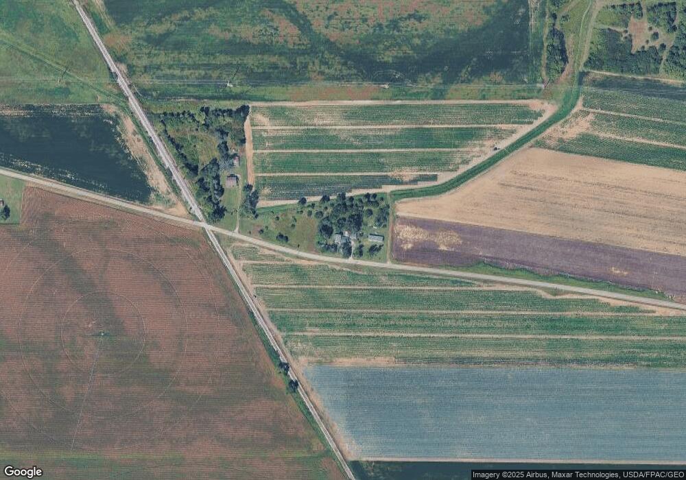
6106 Pope Rd Palmyra, MI 49268
Estimated Value: $202,000 - $253,737
4
Beds
1
Bath
2,082
Sq Ft
$108/Sq Ft
Est. Value
About This Home
This home is located at 6106 Pope Rd, Palmyra, MI 49268 and is currently estimated at $224,246, approximately $107 per square foot. 6106 Pope Rd is a home located in Lenawee County with nearby schools including Adrian High School.
Ownership History
Date
Name
Owned For
Owner Type
Purchase Details
Closed on
May 27, 2020
Sold by
Knowles-Borski Linda K
Bought by
Weinlander Leonard W and Weinlander Linda
Current Estimated Value
Home Financials for this Owner
Home Financials are based on the most recent Mortgage that was taken out on this home.
Original Mortgage
$103,000
Interest Rate
3.2%
Mortgage Type
New Conventional
Purchase Details
Closed on
Mar 1, 2002
Bought by
Knowles-Borski Linda K
Create a Home Valuation Report for This Property
The Home Valuation Report is an in-depth analysis detailing your home's value as well as a comparison with similar homes in the area
Home Values in the Area
Average Home Value in this Area
Purchase History
| Date | Buyer | Sale Price | Title Company |
|---|---|---|---|
| Weinlander Leonard W | -- | None Available | |
| Knowles-Borski Linda K | $80,000 | -- |
Source: Public Records
Mortgage History
| Date | Status | Borrower | Loan Amount |
|---|---|---|---|
| Previous Owner | Weinlander Leonard W | $103,000 |
Source: Public Records
Tax History Compared to Growth
Tax History
| Year | Tax Paid | Tax Assessment Tax Assessment Total Assessment is a certain percentage of the fair market value that is determined by local assessors to be the total taxable value of land and additions on the property. | Land | Improvement |
|---|---|---|---|---|
| 2025 | $1,454 | $104,600 | $0 | $0 |
| 2024 | $907 | $100,100 | $0 | $0 |
| 2023 | $1,363 | $90,800 | $0 | $0 |
| 2022 | $821 | $75,300 | $0 | $0 |
| 2021 | $1,327 | $75,500 | $0 | $0 |
| 2020 | $1,327 | $76,200 | $0 | $0 |
| 2019 | $123,859 | $42,500 | $0 | $0 |
| 2018 | $1,288 | $68,067 | $0 | $0 |
| 2017 | $1,244 | $68,575 | $0 | $0 |
| 2016 | $1,229 | $85,762 | $0 | $0 |
| 2014 | -- | $79,135 | $0 | $0 |
Source: Public Records
Map
Nearby Homes
- 6000 Blk Palmyra Rd
- 5708 Palmyra Rd
- 3000 BLK Manor Dr
- 3381 Ogden Hwy Unit Valley Heights Dr
- 4070 Sharp Rd
- 6392 Mitchell Rd
- 3822 Sharp Rd
- 2816 Sharp Rd
- 664 Korey's Cir
- 650 W Adrian St Unit Lot 125
- 3125 N Rogers Hwy
- 2329 Wood Ridge Dr
- 612 High St
- 2156 Adams St
- 3198 Leeomi Dr
- 401 W Adrian St
- 2094 Farm Valley Rd
- 4633 Treat Hwy
- 405 N Monroe St
- 370 S Monroe St
- 3102 Pope Rd
- 2987 Lenawee Hwy
- 2803 Lenawee Hwy
- 2748 Lenawee Hwy
- 2751 Lenawee Hwy
- 2745 Lenawee Hwy
- 2739 Lenawee Hwy
- 2735 Lenawee Hwy
- 6757 Pope Rd
- 6058 Palmyra Rd
- 2550 Lenawee Hwy Unit LENAWEE
- 2550 Lenawee Hwy
- 5000 blk Palmyra Rd
- 5780 Palmyra Rd
- 5762 Palmyra Rd
- 5762 Palmyra Rd Unit PALMYRA
- 5765 Palmyra Rd
- 2450 Lenawee Hwy
- 6123 Palmyra Rd
- 6403 Deerfield Rd
