Estimated Value: $626,520
3
Beds
1
Bath
2,357
Sq Ft
$266/Sq Ft
Est. Value
About This Home
This home is located at 61062 Stackland Rd, Cove, OR 97824 and is currently estimated at $626,520, approximately $265 per square foot. 61062 Stackland Rd is a home located in Union County with nearby schools including Cove Charter School and Grande Ronde Mennonite.
Ownership History
Date
Name
Owned For
Owner Type
Purchase Details
Closed on
Mar 11, 2008
Sold by
Hill Robert V and Hill Betty J
Bought by
Kelly Daniel L and Kelly Maureen K
Current Estimated Value
Home Financials for this Owner
Home Financials are based on the most recent Mortgage that was taken out on this home.
Original Mortgage
$240,000
Outstanding Balance
$148,108
Interest Rate
5.65%
Mortgage Type
New Conventional
Estimated Equity
$388,021
Create a Home Valuation Report for This Property
The Home Valuation Report is an in-depth analysis detailing your home's value as well as a comparison with similar homes in the area
Purchase History
We collect this data history from publicly available records. To have your information removed, we recommend requesting removal directly through your county’s website.
| Date | Buyer | Sale Price | Title Company |
|---|---|---|---|
| Kelly Daniel L | $300,000 | Abstract & Title Company |
Source: Public Records
Mortgage History
We collect this data history from publicly available records. To have your information removed, we recommend requesting removal directly through your county’s website.
| Date | Status | Borrower | Loan Amount |
|---|---|---|---|
| Open | Kelly Daniel L | $240,000 |
Source: Public Records
Tax History
| Year | Tax Paid | Tax Assessment Tax Assessment Total Assessment is a certain percentage of the fair market value that is determined by local assessors to be the total taxable value of land and additions on the property. | Land | Improvement |
|---|---|---|---|---|
| 2025 | $1,675 | $173,917 | $35,297 | $138,620 |
| 2024 | $1,626 | $168,840 | $34,250 | $134,590 |
| 2023 | $1,579 | $163,930 | $33,260 | $130,670 |
| 2022 | $1,533 | $159,168 | $32,299 | $126,869 |
| 2021 | $1,488 | $154,533 | $31,359 | $123,174 |
| 2020 | $1,445 | $150,032 | $30,446 | $119,586 |
| 2019 | $1,403 | $145,663 | $29,560 | $116,103 |
| 2018 | $1,362 | $141,420 | $28,699 | $112,721 |
| 2017 | $1,322 | $137,302 | $27,865 | $109,437 |
| 2016 | $1,284 | $133,303 | $27,054 | $106,249 |
| 2015 | $1,195 | $129,421 | $26,267 | $103,154 |
| 2014 | $1,195 | $125,652 | $25,502 | $100,150 |
| 2013 | $1,246 | $121,993 | $24,759 | $97,234 |
Source: Public Records
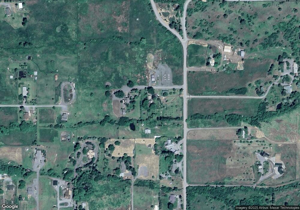
Map
Nearby Homes
- 0 Conklin Ln Unit 232609065
- 1805 Jasper St
- 69478 Haefer Ln
- 1107 Jasper St
- 69208 Chadwick Ln
- 0 Rose Ridge Rd Unit 3
- 0 Rose Ridge Rd Unit 1
- 0 Rose Ridge Rd Unit 22290306
- 0 Rose Ridge Rd Unit 2
- 59926 Comstock Rd
- 61938 High Valley Rd
- 61615 High Valley Rd
- 58015 Godley Rd
- 293 E Ivy Ln
- 141 E Bryan Ave
- 1270 N 1st St
- 1020 N Bellwood St
- 972 N Bellwood Ave
- 865 N Gale St
- 713 N College St
- 61016 Stackland Rd
- 61072 Stackland Rd
- 0 Stackland Rd
- 60996 Stackland Rd
- 69833 Antles Ln
- 60970 Stackland Rd
- 61074 Stackland Rd
- 69776 Wapiti Ln
- 69795 Antles Ln
- 69789 Antles Ln
- 60934 Stackland Rd
- 69749 Antles Rd
- 69749 Antles Ln
- 61095 Stackland Rd
- 69913 Fletcher Ln
- 69748 Wapiti Ln
- 60916 Stackland Rd
- 69843 Dear Dr
- 69743 Wapiti Ln
- 69867 Dear Dr
Your Personal Tour Guide
Ask me questions while you tour the home.