6107 Garrett Ln Ferndale, WA 98248
Estimated Value: $914,000 - $1,245,000
3
Beds
2
Baths
2,828
Sq Ft
$383/Sq Ft
Est. Value
About This Home
This home is located at 6107 Garrett Ln, Ferndale, WA 98248 and is currently estimated at $1,083,280, approximately $383 per square foot. 6107 Garrett Ln is a home with nearby schools including Eagleridge Elementary School, Horizon Middle School, and Ferndale High School.
Ownership History
Date
Name
Owned For
Owner Type
Purchase Details
Closed on
Oct 13, 2004
Sold by
Sandy Point Development Corp
Bought by
Ullsmith Richard A and Ullsmith Kelsey L
Current Estimated Value
Home Financials for this Owner
Home Financials are based on the most recent Mortgage that was taken out on this home.
Original Mortgage
$157,500
Interest Rate
5.74%
Mortgage Type
Credit Line Revolving
Purchase Details
Closed on
Oct 28, 2003
Sold by
Renou Frank
Bought by
Sandy Point Development Corp
Purchase Details
Closed on
Oct 15, 2003
Sold by
Lake Terrell Development Corp
Bought by
Renou Frank
Create a Home Valuation Report for This Property
The Home Valuation Report is an in-depth analysis detailing your home's value as well as a comparison with similar homes in the area
Home Values in the Area
Average Home Value in this Area
Purchase History
| Date | Buyer | Sale Price | Title Company |
|---|---|---|---|
| Ullsmith Richard A | $210,000 | Whatcom Land Title | |
| Sandy Point Development Corp | -- | -- | |
| Renou Frank | -- | -- |
Source: Public Records
Mortgage History
| Date | Status | Borrower | Loan Amount |
|---|---|---|---|
| Closed | Ullsmith Richard A | $157,500 |
Source: Public Records
Tax History Compared to Growth
Tax History
| Year | Tax Paid | Tax Assessment Tax Assessment Total Assessment is a certain percentage of the fair market value that is determined by local assessors to be the total taxable value of land and additions on the property. | Land | Improvement |
|---|---|---|---|---|
| 2024 | $6,129 | $850,257 | $291,480 | $558,777 |
| 2023 | $6,129 | $850,257 | $291,480 | $558,777 |
| 2022 | $6,631 | $759,158 | $260,250 | $498,908 |
| 2021 | $6,123 | $708,588 | $237,417 | $471,171 |
| 2020 | $6,233 | $600,498 | $201,201 | $399,297 |
| 2019 | $5,145 | $553,444 | $185,435 | $368,009 |
| 2018 | $5,763 | $522,075 | $174,925 | $347,150 |
| 2017 | $5,394 | $448,133 | $150,150 | $297,983 |
| 2016 | $4,284 | $448,133 | $150,150 | $297,983 |
| 2015 | $4,400 | $353,415 | $125,783 | $227,632 |
| 2014 | -- | $353,415 | $125,783 | $227,632 |
| 2013 | -- | $293,031 | $125,783 | $167,248 |
Source: Public Records
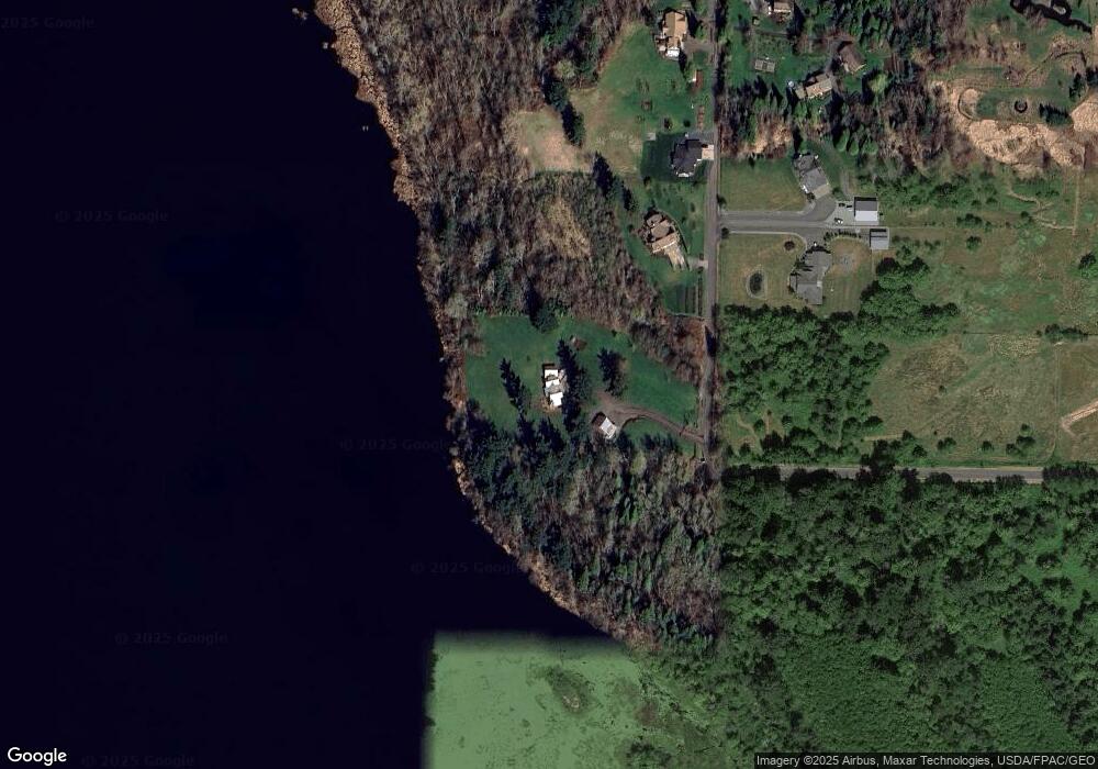
Map
Nearby Homes
- 6152 Garrett Ln
- 6379 Elder Rd
- 6241 Olson Rd
- 0 XX Olson Rd
- 3324 Bailey Way
- 2780 Jenjar Ave
- 5856 W 26th Crest
- 5877 W 26th Crest
- 5958 W 26th Crest
- 5979 W 26th Crest
- 6072 Monument Dr
- 6041 Brian Ct
- 6729 Hawk Ridge Dr
- 6038 Brian Ct
- 2751 Aldergrove Rd
- 3496 Walltine Rd
- 2632 (Lot 13) Sievers Way
- 2630 (Lot 12) Sievers Way
- 5942 (Lot 47) Ranch Loop
- 2646 Lochcarron Dr
- 6135 Garrett Ln
- 6159 Garrett Ln
- 6146 Garrett Ln
- 6173 Garrett Ln
- 6170 Garrett Ln
- 6113 N Star Rd
- 6184 Garrett Ln
- 6187 Garrett Ln
- 6203 Garrett Ln
- 6153 N Star Rd
- 6108 N Star Rd
- 6219 N Star Rd
- 6193 N Star Rd
- 6082 N Star Rd
- 6142 N Star Rd
- 6215 N Star Rd
- 6036 N Star Rd
- 3445 Thornton Rd
- 6180 N Star Rd
- 6224 N Star Rd