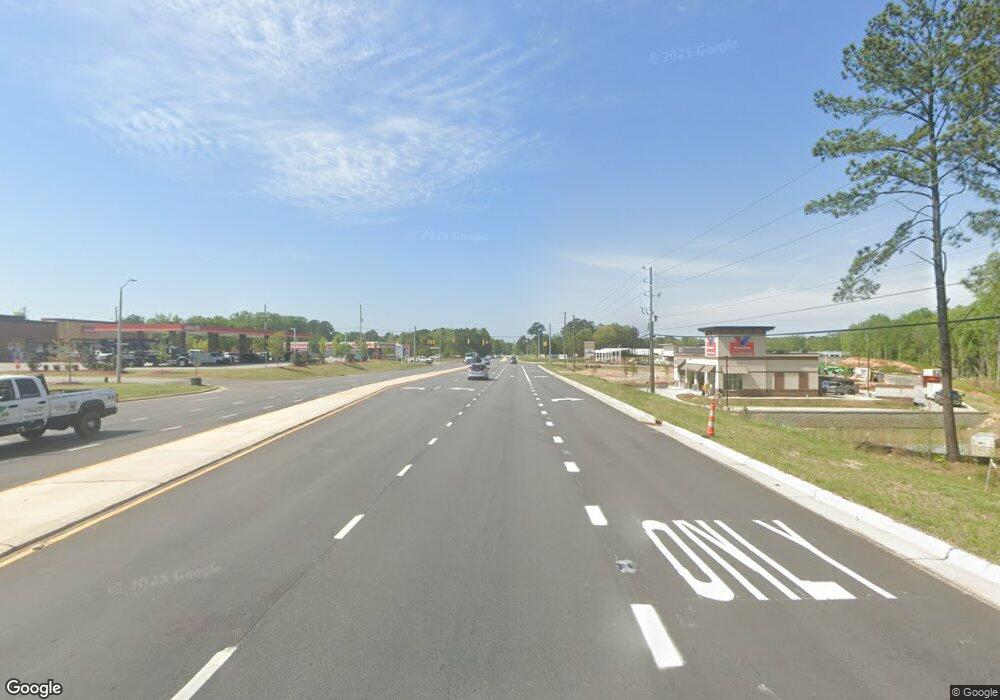
6107 Nc Highway 42 W Garner, NC 27529
Cleveland NeighborhoodEstimated Value: $411,638 - $477,000
3
Beds
2
Baths
3,000
Sq Ft
$149/Sq Ft
Est. Value
About This Home
This home is located at 6107 Nc Highway 42 W, Garner, NC 27529 and is currently estimated at $447,660, approximately $149 per square foot. 6107 Nc Highway 42 W is a home located in Johnston County with nearby schools including West View Elementary School, Cleveland Middle School, and West Johnston High School.
Ownership History
Date
Name
Owned For
Owner Type
Purchase Details
Closed on
Jan 12, 2016
Sold by
Browning Realty Inc
Bought by
Browning Robert L and Browning Deborah T
Current Estimated Value
Purchase Details
Closed on
Dec 14, 2011
Sold by
R&B Homes L L C
Bought by
Browning Realty Inc
Purchase Details
Closed on
Jul 15, 2003
Sold by
Cargill Ii John E
Bought by
Magnolia Homes Corp Of Nc
Purchase Details
Closed on
Feb 20, 2003
Sold by
Magnolia Homes Corp Of Nc
Bought by
Johnson Irene S
Create a Home Valuation Report for This Property
The Home Valuation Report is an in-depth analysis detailing your home's value as well as a comparison with similar homes in the area
Home Values in the Area
Average Home Value in this Area
Purchase History
| Date | Buyer | Sale Price | Title Company |
|---|---|---|---|
| Browning Robert L | -- | None Available | |
| Browning Realty Inc | $195,000 | None Available | |
| Magnolia Homes Corp Of Nc | $232,500 | -- | |
| Johnson Irene S | $50,000 | -- |
Source: Public Records
Tax History Compared to Growth
Tax History
| Year | Tax Paid | Tax Assessment Tax Assessment Total Assessment is a certain percentage of the fair market value that is determined by local assessors to be the total taxable value of land and additions on the property. | Land | Improvement |
|---|---|---|---|---|
| 2025 | $2,483 | $391,080 | $104,540 | $286,540 |
| 2024 | $2,023 | $249,790 | $65,340 | $184,450 |
| 2023 | $1,955 | $249,790 | $65,340 | $184,450 |
| 2022 | $2,055 | $249,790 | $65,340 | $184,450 |
| 2021 | $2,055 | $249,790 | $65,340 | $184,450 |
| 2020 | $2,080 | $249,790 | $65,340 | $184,450 |
| 2019 | $2,080 | $249,790 | $65,340 | $184,450 |
| 2018 | $2,023 | $237,290 | $65,340 | $171,950 |
| 2017 | $2,023 | $237,290 | $65,340 | $171,950 |
| 2016 | $2,023 | $237,290 | $65,340 | $171,950 |
| 2015 | $2,023 | $237,290 | $65,340 | $171,950 |
| 2014 | $2,023 | $237,290 | $65,340 | $171,950 |
Source: Public Records
Map
Nearby Homes
- 1092 Adams Point Dr
- 36 Labradoodle Ct
- 742 Adams Point Dr
- 102 Dandy Flush Ct
- 113 Hogan Dr
- 39 Beau Dr
- 35 Crosby Ln
- 114 Boone Trail
- 15 Crest Cir
- 58 Larkwood Ln
- 106 Village Ct
- 1152 Black Angus Dr
- 171 Davelyn Ct
- 413 Fieldtrial Cir
- 198 Outwater Ridge Dr
- 107 Marsh Creek Dr
- 648 Fieldtrial Cir
- 1095 Fieldtrial Cir
- 225 Marsh Creek Dr
- 75 Fawn Hill Ct
- 6107 N Carolina 42
- 6107 N Carolina 42 W
- 6109 N Carolina 42 W
- 6113 Nc Highway 42 W
- 6113 N Carolina 42 W
- 6113 N Carolina 42
- 6100 Nc Highway 42 W
- 6109 Nc Highway 42 W
- 6109 N Carolina 42
- 5990 Nc Highway 42 W
- 6200 Nc Highway 42 W
- 1217 Adams Point Dr
- 436 Old Drug Store Rd
- 1216 Adams Point Dr
- 488 Old Drug Store Rd
- 1209 Adams Point Dr
- 1208 Adams Point Dr
- 314 Old Drug Store Rd
- 1185 Adams Point Dr
- 1186 Adams Point Dr
