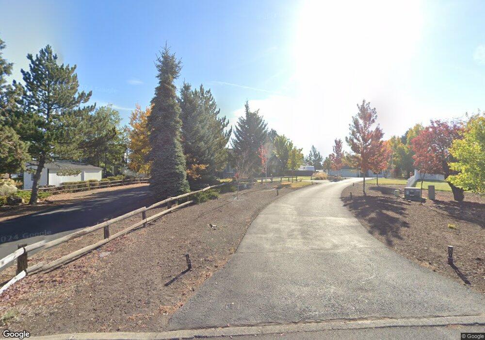
61083 Ferguson Ct Bend, OR 97702
Old Farm District NeighborhoodEstimated Value: $859,000 - $927,734
3
Beds
4
Baths
2,478
Sq Ft
$358/Sq Ft
Est. Value
About This Home
This home is located at 61083 Ferguson Ct, Bend, OR 97702 and is currently estimated at $886,684, approximately $357 per square foot. 61083 Ferguson Ct is a home located in Deschutes County with nearby schools including Silver Rail Elementary School, High Desert Middle School, and Bend Senior High School.
Ownership History
Date
Name
Owned For
Owner Type
Purchase Details
Closed on
Mar 2, 2004
Sold by
Pledged Property Ii Llc
Bought by
Stevens Troy A and Stevens Julie A
Current Estimated Value
Home Financials for this Owner
Home Financials are based on the most recent Mortgage that was taken out on this home.
Original Mortgage
$219,900
Outstanding Balance
$100,765
Interest Rate
5.61%
Mortgage Type
Credit Line Revolving
Estimated Equity
$785,919
Create a Home Valuation Report for This Property
The Home Valuation Report is an in-depth analysis detailing your home's value as well as a comparison with similar homes in the area
Home Values in the Area
Average Home Value in this Area
Purchase History
| Date | Buyer | Sale Price | Title Company |
|---|---|---|---|
| Stevens Troy A | $274,900 | First Amer Title Ins Co Or |
Source: Public Records
Mortgage History
| Date | Status | Borrower | Loan Amount |
|---|---|---|---|
| Open | Stevens Troy A | $219,900 |
Source: Public Records
Tax History Compared to Growth
Tax History
| Year | Tax Paid | Tax Assessment Tax Assessment Total Assessment is a certain percentage of the fair market value that is determined by local assessors to be the total taxable value of land and additions on the property. | Land | Improvement |
|---|---|---|---|---|
| 2025 | $6,398 | $378,680 | -- | -- |
| 2024 | $6,156 | $367,660 | -- | -- |
| 2023 | $5,707 | $356,960 | $0 | $0 |
| 2022 | $5,324 | $336,480 | $0 | $0 |
| 2021 | $5,332 | $326,680 | $0 | $0 |
| 2020 | $5,059 | $326,680 | $0 | $0 |
| 2019 | $4,918 | $317,170 | $0 | $0 |
| 2018 | $4,779 | $307,940 | $0 | $0 |
| 2017 | $4,639 | $298,980 | $0 | $0 |
| 2016 | $4,424 | $290,280 | $0 | $0 |
| 2015 | $4,302 | $281,830 | $0 | $0 |
| 2014 | $4,153 | $272,210 | $0 | $0 |
Source: Public Records
Map
Nearby Homes
- 61097 Ferguson Ct
- 61405 Steens Mountain Loop
- 61336 Mount Vista Dr
- 61197 Cottonwood Dr
- 61245 Crescent Ct
- 21309 SE Wilderness Way
- 21311 SE Wilderness Way
- 21517 SE Etna Place
- 21648 SE Fuji Dr
- 21704 SE Stromboli Ln
- 21720 SE Stromboli Ln
- 21712 SE Stromboli Ln
- 21624 SE Fuji Dr
- 21544 SE Etna Place
- 21525 SE Etna Place
- 21409 SE Krakatoa Ct
- 21062 Desert Woods Dr
- 21425 SE Krakatoa Ct
- 21428 SE Krakatoa Ct Unit Lot 99
- 61159 Ladera Rd
- 61077 Ferguson Ct
- 61091 Ferguson Ct
- 61073 Ferguson Ct
- 61092 Ferguson Ct
- 61070 Ferguson Ct
- 61098 Ferguson Ct
- 61076 Ferguson Ct
- 61103 Ferguson Ct
- 21244 SE Pelee Dr
- 21244 SE Pelee Dr Unit 126
- 61082 Ferguson Ct
- 61104 Ferguson Ct
- 21129 Charity Ln
- 21175 Claremont Ct
- 21123 Charity Ln
- 61110 Ferguson Ct
- 21133 Charity Ln
- 21113 Charity Ln
- 21165 Claremont Ct
