6108B Normandy Dr Mount Laurel, NJ 08054
Estimated Value: $350,474 - $380,000
--
Bed
--
Bath
1,647
Sq Ft
$225/Sq Ft
Est. Value
About This Home
This home is located at 6108B Normandy Dr, Mount Laurel, NJ 08054 and is currently estimated at $369,869, approximately $224 per square foot. 6108B Normandy Dr is a home located in Burlington County with nearby schools including Fleetwood Elementary School, Mount Laurel Hartford School, and T.E. Harrington Middle School.
Ownership History
Date
Name
Owned For
Owner Type
Purchase Details
Closed on
Jul 15, 2003
Sold by
Cannon Matthew J
Bought by
Cannon Miles W and Cannon Frances D
Current Estimated Value
Home Financials for this Owner
Home Financials are based on the most recent Mortgage that was taken out on this home.
Original Mortgage
$110,000
Interest Rate
6.12%
Mortgage Type
New Conventional
Create a Home Valuation Report for This Property
The Home Valuation Report is an in-depth analysis detailing your home's value as well as a comparison with similar homes in the area
Home Values in the Area
Average Home Value in this Area
Purchase History
| Date | Buyer | Sale Price | Title Company |
|---|---|---|---|
| Cannon Miles W | -- | Congress Title Corp |
Source: Public Records
Mortgage History
| Date | Status | Borrower | Loan Amount |
|---|---|---|---|
| Closed | Cannon Miles W | $110,000 |
Source: Public Records
Tax History Compared to Growth
Tax History
| Year | Tax Paid | Tax Assessment Tax Assessment Total Assessment is a certain percentage of the fair market value that is determined by local assessors to be the total taxable value of land and additions on the property. | Land | Improvement |
|---|---|---|---|---|
| 2025 | $6,099 | $193,200 | $50,000 | $143,200 |
| 2024 | $5,869 | $193,200 | $50,000 | $143,200 |
| 2023 | $5,869 | $193,200 | $50,000 | $143,200 |
| 2022 | $5,850 | $193,200 | $50,000 | $143,200 |
| 2021 | $5,490 | $193,200 | $50,000 | $143,200 |
| 2020 | $5,628 | $193,200 | $50,000 | $143,200 |
| 2019 | $5,570 | $193,200 | $50,000 | $143,200 |
| 2018 | $5,527 | $193,200 | $50,000 | $143,200 |
| 2017 | $5,134 | $193,200 | $50,000 | $143,200 |
| 2016 | $5,053 | $193,200 | $50,000 | $143,200 |
| 2015 | $4,992 | $193,200 | $50,000 | $143,200 |
| 2014 | $4,939 | $193,200 | $50,000 | $143,200 |
Source: Public Records
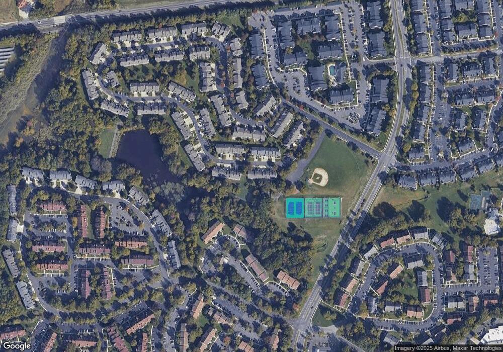
Map
Nearby Homes
- 6206B Normandy Dr
- 8006 Normandy Dr Unit 8006
- 2720B Sussex Ct
- 5407A Aberdeen Dr
- 1102B Sedgefield Dr Unit 1102B
- 4901A Dunbarton Rd
- 4906A Dunbarton Rd
- 3807A Chadbury Rd Unit 3807
- 5214C Aberdeen Dr Unit C
- 4107A Chadbury Rd
- 5116C Aberdeen Dr
- 1707A Heatherstone Ct
- 5108 Halifax Way Unit 5108
- 4617A Aberdeen Dr
- 1406B Saxony Dr Unit 1406
- 4610B Aberdeen Dr Unit 4610
- 2605 Saxony Dr Unit 2605
- 4108B Adelaide Dr
- 9 Sister's Farmstead Rd
- 6 Lilac Cir
- 6107A Normandy Dr
- 6106B Normandy Dr
- 6105A Normandy Dr
- 6301 Normandy Dr
- 6301A Normandy Dr
- 6302B Normandy Dr Unit 6302
- 6302 Normandy Dr
- 6302B Normandy Dr Unit B
- 6104B Normandy Dr Unit 6104
- 6103 Normandy Dr
- 6103A Normandy Dr Unit 6103
- 6303A Normandy Dr Unit 6303
- 6304B Normandy Dr Unit 6304
- 6304 Normandy Dr
- 6102B Normandy Dr Unit 6102
- 6201A Normandy Dr Unit 6201
- 6201 Normandy Dr
- 6102 Normandy Dr
- 6203 Normandy Dr
- 6203A Normandy Dr Unit 6203