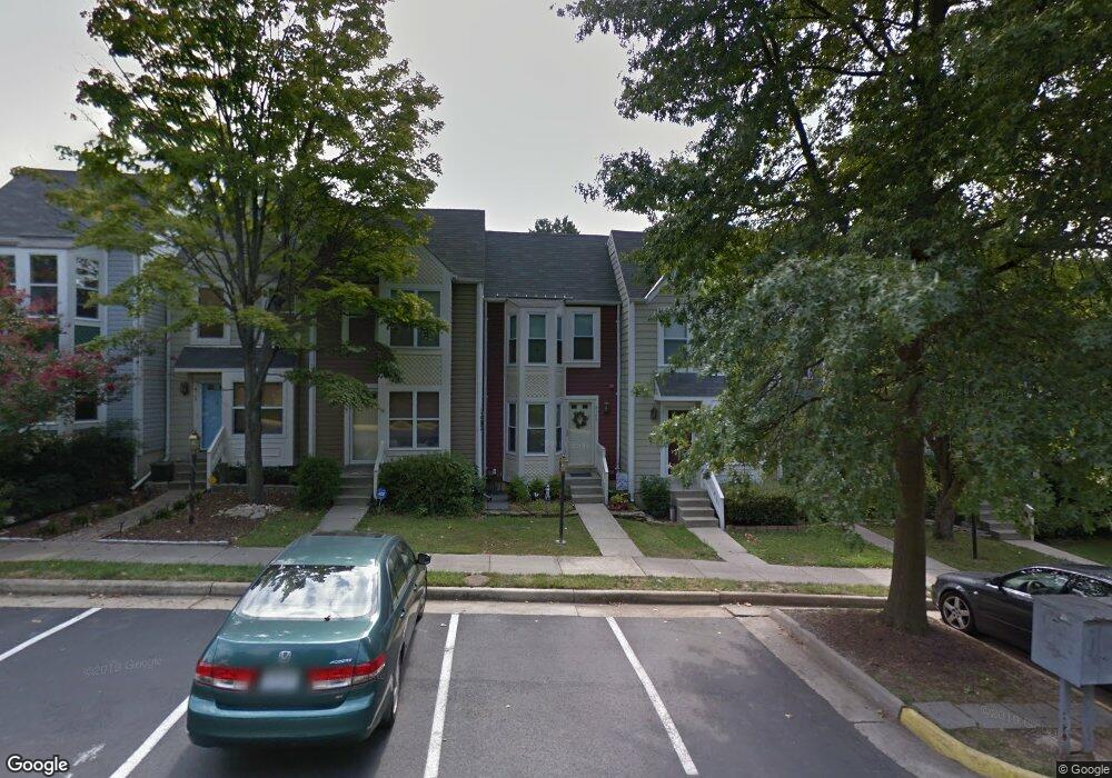
6109 Liverpool Ln Alexandria, VA 22315
Estimated Value: $520,232 - $574,000
3
Beds
3
Baths
1,104
Sq Ft
$494/Sq Ft
Est. Value
About This Home
This home is located at 6109 Liverpool Ln, Alexandria, VA 22315 and is currently estimated at $545,308, approximately $493 per square foot. 6109 Liverpool Ln is a home located in Fairfax County with nearby schools including Hayfield Elementary School, Hayfield Secondary School, and Calvary Road Christian School & Preschool.
Ownership History
Date
Name
Owned For
Owner Type
Purchase Details
Closed on
May 26, 2004
Sold by
Sweetnam Christine
Bought by
Huber Kimberly S
Current Estimated Value
Home Financials for this Owner
Home Financials are based on the most recent Mortgage that was taken out on this home.
Original Mortgage
$261,600
Outstanding Balance
$126,850
Interest Rate
5.88%
Mortgage Type
New Conventional
Estimated Equity
$418,458
Create a Home Valuation Report for This Property
The Home Valuation Report is an in-depth analysis detailing your home's value as well as a comparison with similar homes in the area
Home Values in the Area
Average Home Value in this Area
Purchase History
| Date | Buyer | Sale Price | Title Company |
|---|---|---|---|
| Huber Kimberly S | $331,000 | -- |
Source: Public Records
Mortgage History
| Date | Status | Borrower | Loan Amount |
|---|---|---|---|
| Open | Huber Kimberly S | $261,600 |
Source: Public Records
Tax History Compared to Growth
Tax History
| Year | Tax Paid | Tax Assessment Tax Assessment Total Assessment is a certain percentage of the fair market value that is determined by local assessors to be the total taxable value of land and additions on the property. | Land | Improvement |
|---|---|---|---|---|
| 2025 | $5,743 | $529,160 | $155,000 | $374,160 |
| 2024 | $5,743 | $495,690 | $155,000 | $340,690 |
| 2023 | $5,267 | $466,690 | $155,000 | $311,690 |
| 2022 | $4,903 | $428,750 | $125,000 | $303,750 |
| 2021 | $4,807 | $409,650 | $115,000 | $294,650 |
| 2020 | $4,554 | $384,820 | $98,000 | $286,820 |
| 2019 | $4,554 | $384,820 | $98,000 | $286,820 |
| 2018 | $4,476 | $378,200 | $97,000 | $281,200 |
| 2017 | $4,304 | $370,690 | $95,000 | $275,690 |
| 2016 | $4,191 | $361,800 | $95,000 | $266,800 |
| 2015 | $3,915 | $350,790 | $95,000 | $255,790 |
| 2014 | $3,746 | $336,410 | $90,000 | $246,410 |
Source: Public Records
Map
Nearby Homes
- 5835 Norham Dr
- 6005 Southward Way
- 5975 Wescott Hills Way
- 5905 Saint Giles Way
- 7462 Towchester Ct
- 5942 Norham Dr
- 7235 Worsley Way
- 5606 Glenwood Mews Dr
- 7228 Lensfield Ct
- 7212 Lensfield Ct
- 7000 Gatton Square
- 7520 Amesbury Ct
- 7460 Cross Gate Ln
- 7013 Birkenhead Place Unit F
- 5302 Ridley Ct
- 7472 Cross Gate Ln
- 7001 Birkenhead Place Unit C
- 5321 Buxton Ct
- 6964 Ellingham Cir Unit D
- 7477 Collins Meade Way
- 6111 Liverpool Ln
- 6107 Liverpool Ln
- 6113 Liverpool Ln
- 6105 Liverpool Ln
- 6103 Liverpool Ln
- 6115 Liverpool Ln
- 6101 Liverpool Ln
- 6117 Liverpool Ln
- 6119 Liverpool Ln
- 6121 Liverpool Ln
- 6027 Old Stratford Ct
- 6025 Old Stratford Ct
- 6029 Old Stratford Ct
- 6023 Old Stratford Ct
- 5812 Norham Dr
- 5810 Norham Dr
- 6021 Old Stratford Ct
- 5814 Norham Dr
- 6019 Old Stratford Ct
- 5808 Norham Dr