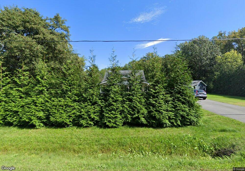
6109 Shady Side Rd Shady Side, MD 20764
Estimated Value: $368,000 - $431,000
--
Bed
2
Baths
1,584
Sq Ft
$251/Sq Ft
Est. Value
About This Home
This home is located at 6109 Shady Side Rd, Shady Side, MD 20764 and is currently estimated at $397,752, approximately $251 per square foot. 6109 Shady Side Rd is a home located in Anne Arundel County with nearby schools including Shady Side Elementary School, Southern Middle School, and Southern High School.
Ownership History
Date
Name
Owned For
Owner Type
Purchase Details
Closed on
Jun 29, 1994
Sold by
Tongue Frank
Bought by
Barbieri Joseph M
Current Estimated Value
Home Financials for this Owner
Home Financials are based on the most recent Mortgage that was taken out on this home.
Original Mortgage
$54,806
Interest Rate
8.55%
Create a Home Valuation Report for This Property
The Home Valuation Report is an in-depth analysis detailing your home's value as well as a comparison with similar homes in the area
Home Values in the Area
Average Home Value in this Area
Purchase History
| Date | Buyer | Sale Price | Title Company |
|---|---|---|---|
| Barbieri Joseph M | $55,000 | -- |
Source: Public Records
Mortgage History
| Date | Status | Borrower | Loan Amount |
|---|---|---|---|
| Closed | Barbieri Joseph M | $54,806 |
Source: Public Records
Tax History Compared to Growth
Tax History
| Year | Tax Paid | Tax Assessment Tax Assessment Total Assessment is a certain percentage of the fair market value that is determined by local assessors to be the total taxable value of land and additions on the property. | Land | Improvement |
|---|---|---|---|---|
| 2025 | $2,207 | $336,767 | -- | -- |
| 2024 | $2,207 | $318,433 | $0 | $0 |
| 2023 | $1,653 | $300,100 | $158,200 | $141,900 |
| 2022 | $1,990 | $295,333 | $0 | $0 |
| 2021 | $3,922 | $290,567 | $0 | $0 |
| 2020 | $1,890 | $285,800 | $158,200 | $127,600 |
| 2019 | $1,853 | $271,800 | $0 | $0 |
| 2018 | $2,614 | $257,800 | $0 | $0 |
| 2017 | $1,653 | $243,800 | $0 | $0 |
| 2016 | -- | $243,800 | $0 | $0 |
| 2015 | -- | $243,800 | $0 | $0 |
| 2014 | -- | $251,900 | $0 | $0 |
Source: Public Records
Map
Nearby Homes
- 1428 Haile Pkwy
- 1408 & 1410 Haile Pkwy
- 6070 Shady Side Rd
- 0 Shady Side Rd Unit MDAA2113156
- 0 Shady Side Rd Unit MDAA2113166
- 1436 Haile Pkwy
- 6118 Shady Side Rd
- 6152 Shady Side Rd
- 1445 & 1447 Haile Pkwy
- 0 Haile Pkwy Unit MDAA2127474
- 1461 Cedarhurst Rd
- 1419 Shady Rest Rd
- 1302 Spruce St
- 1512 Lincoln Rd
- 1208 Oak Ave
- 1213 Oak Ave
- 1220 Grove Ave
- 5250 Al Jones Dr
- 5235 Al Jones Dr
- 5211 Al Jones Dr
- 6105 Shady Side Rd
- 6113 Shady Side Rd
- 6103 Shady Side Rd
- 1408 Heile Pkwy
- 6121 Shady Side Rd
- 1412 Heile Pkwy
- 1410 Heile Pkwy
- 1409 Cedarhurst Rd
- 1413 Cedarhurst Rd
- 6065 Bay Breeze Rd
- 1426 Haile Pkwy
- 1416 Heile Pkwy
- 6104 Shady Side Rd
- 6063 Bay Breeze Rd
- 1407 Heile Pkwy
- 1411 Cedarhurst Rd
- 1409 Heile Pkwy
- 1418 Heile Pkwy
- 0 Shady Side Rd Unit AA7930311
- 0 Shady Side Rd Unit AA7934186