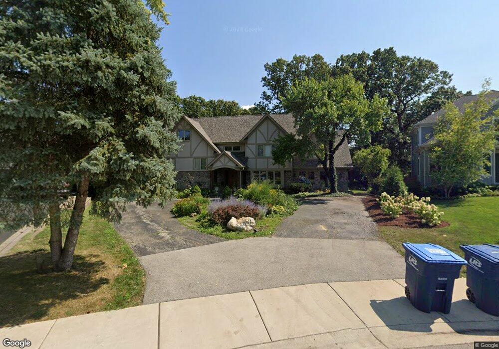
611 Ambleside Dr Deerfield, IL 60015
Estimated Value: $975,000 - $1,142,000
3
Beds
4
Baths
3,408
Sq Ft
$314/Sq Ft
Est. Value
About This Home
This home is located at 611 Ambleside Dr, Deerfield, IL 60015 and is currently estimated at $1,068,431, approximately $313 per square foot. 611 Ambleside Dr is a home located in Lake County with nearby schools including Walden Elementary School, Alan B Shepard Middle School, and Deerfield High School.
Ownership History
Date
Name
Owned For
Owner Type
Purchase Details
Closed on
Aug 31, 2000
Sold by
Hicks Steven C and Hicks Diane P
Bought by
Klauke George F and Klauke Suzanne K
Current Estimated Value
Home Financials for this Owner
Home Financials are based on the most recent Mortgage that was taken out on this home.
Original Mortgage
$432,000
Interest Rate
8.5%
Mortgage Type
Balloon
Create a Home Valuation Report for This Property
The Home Valuation Report is an in-depth analysis detailing your home's value as well as a comparison with similar homes in the area
Home Values in the Area
Average Home Value in this Area
Purchase History
| Date | Buyer | Sale Price | Title Company |
|---|---|---|---|
| Klauke George F | $542,000 | -- |
Source: Public Records
Mortgage History
| Date | Status | Borrower | Loan Amount |
|---|---|---|---|
| Closed | Klauke George F | $432,000 |
Source: Public Records
Tax History
| Year | Tax Paid | Tax Assessment Tax Assessment Total Assessment is a certain percentage of the fair market value that is determined by local assessors to be the total taxable value of land and additions on the property. | Land | Improvement |
|---|---|---|---|---|
| 2024 | $23,896 | $272,965 | $81,943 | $191,022 |
| 2023 | $25,318 | $261,962 | $78,640 | $183,322 |
| 2022 | $25,318 | $273,283 | $84,670 | $188,613 |
| 2021 | $23,894 | $263,481 | $81,633 | $181,848 |
| 2020 | $22,980 | $264,036 | $81,805 | $182,231 |
| 2019 | $22,458 | $263,588 | $81,666 | $181,922 |
| 2018 | $24,266 | $295,978 | $86,559 | $209,419 |
| 2017 | $24,076 | $295,034 | $86,283 | $208,751 |
| 2016 | $23,426 | $283,877 | $83,020 | $200,857 |
| 2015 | $22,967 | $266,726 | $78,004 | $188,722 |
| 2014 | $20,752 | $238,196 | $78,561 | $159,635 |
| 2012 | $20,235 | $236,095 | $77,868 | $158,227 |
Source: Public Records
Map
Nearby Homes
- 1300 Knollwood Rd
- 1423 Northwoods Rd
- 1151 Walden Ln
- 1630 Ridge Rd
- 1285 Warwick Ct
- 1127 Kenton Rd
- 1106 Waukegan Rd
- 1030 Chestnut St
- 1420 Crowe Ave
- 1165 Linden Ave
- 435 Kingston Terrace
- 1727 Telegraph Rd
- 990 Heather Rd
- 1770 Overland Trail
- 1177 Ridge Rd
- 826 Chestnut St
- 1672 Huntington Ln
- 834 Chestnut St
- 1236 Cavell Ave
- 757 Kipling Place
- 1423 Ambleside Dr
- 623 Ambleside Dr
- 1400 Warrington Rd
- 1410 Warrington Rd
- 1362 Warrington Rd
- 629 Ambleside Dr
- 1418 Warrington Rd
- 1426 Ambleside Dr Unit 2
- 1358 Warrington Rd
- 1426 Warrington Rd
- 1433 Ambleside Dr
- 630 Ambleside Dr
- 1350 Warrington Rd
- 1434 Warrington Rd
- 544 Cumnor Ct
- 636 Ambleside Dr
- 1338 Warrington Rd
- 1405 Warrington Rd
- 1436 Ambleside Dr
Your Personal Tour Guide
Ask me questions while you tour the home.