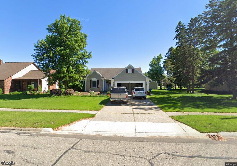
611 Bay St Unit Bldg-Unit Davison, MI 48423
Estimated Value: $347,000 - $401,000
3
Beds
3
Baths
1,602
Sq Ft
$234/Sq Ft
Est. Value
About This Home
This home is located at 611 Bay St Unit Bldg-Unit, Davison, MI 48423 and is currently estimated at $375,638, approximately $234 per square foot. 611 Bay St Unit Bldg-Unit is a home located in Genesee County with nearby schools including Thomson Elementary School, Hill Elementary School, and Siple Elementary School.
Ownership History
Date
Name
Owned For
Owner Type
Purchase Details
Closed on
Jul 19, 2018
Sold by
Duffy Kimberly A and Campeau Kimberly A
Bought by
Arnswald Kerry and Arnswald Terry
Current Estimated Value
Purchase Details
Closed on
Oct 11, 2002
Sold by
Campeau Daniel and Campeau Kimberly A
Bought by
Campeau Kimberly A
Create a Home Valuation Report for This Property
The Home Valuation Report is an in-depth analysis detailing your home's value as well as a comparison with similar homes in the area
Home Values in the Area
Average Home Value in this Area
Purchase History
| Date | Buyer | Sale Price | Title Company |
|---|---|---|---|
| Arnswald Kerry | $225,000 | Transnation Title | |
| Campeau Kimberly A | -- | -- |
Source: Public Records
Tax History
| Year | Tax Paid | Tax Assessment Tax Assessment Total Assessment is a certain percentage of the fair market value that is determined by local assessors to be the total taxable value of land and additions on the property. | Land | Improvement |
|---|---|---|---|---|
| 2025 | $6,262 | $189,800 | $0 | $0 |
| 2024 | $3,834 | $166,800 | $0 | $0 |
| 2023 | $3,666 | $159,000 | $0 | $0 |
| 2022 | $5,433 | $138,100 | $0 | $0 |
| 2021 | $5,151 | $125,400 | $0 | $0 |
| 2020 | $3,046 | $127,200 | $0 | $0 |
| 2019 | $3,003 | $102,300 | $0 | $0 |
| 2018 | $3,782 | $104,500 | $0 | $0 |
| 2017 | $3,625 | $103,300 | $0 | $0 |
| 2016 | $3,594 | $94,700 | $0 | $0 |
| 2015 | $3,582 | $79,400 | $0 | $0 |
| 2012 | -- | $75,900 | $75,900 | $0 |
Source: Public Records
Map
Nearby Homes
- 611 W Flint St
- 625 Charles St
- 511 Garland St
- 502 Gary Ray Dr
- 9216 Davison Rd
- 230 W Flint St
- 726 W 2nd St
- 923 Village
- 927 Village Dr
- 7040 N Oak Rd
- 2239 Baltimore Ln
- 2323 Baltimore
- 7120 N Oak Rd
- 00 Richfield Rd E
- 2367 Baltimore
- 7165 Donegal
- 2339 Clifden
- 2247 Baltimore Ln
- 0 N Washburn Rd Vacant Land Unit 20261005623
- 505 N Main St
Your Personal Tour Guide
Ask me questions while you tour the home.