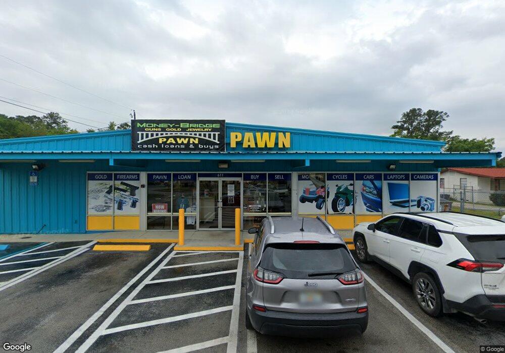
611 Blanding Blvd Orange Park, FL 32073
Estimated Value: $1,208,335
--
Bed
--
Bath
6,508
Sq Ft
$186/Sq Ft
Est. Value
About This Home
This home is located at 611 Blanding Blvd, Orange Park, FL 32073 and is currently estimated at $1,208,335, approximately $185 per square foot. 611 Blanding Blvd is a home located in Clay County with nearby schools including Lakeside Elementary School, Orange Park High School, and Lakeside Junior High School.
Ownership History
Date
Name
Owned For
Owner Type
Purchase Details
Closed on
Sep 15, 2015
Sold by
Blakewarren Llc
Bought by
Propertysouth Llc
Current Estimated Value
Home Financials for this Owner
Home Financials are based on the most recent Mortgage that was taken out on this home.
Original Mortgage
$550,000
Interest Rate
6%
Mortgage Type
Purchase Money Mortgage
Purchase Details
Closed on
Sep 29, 2011
Sold by
Lange Roger S and Lange Sondra C
Bought by
Blakewarren Llc
Create a Home Valuation Report for This Property
The Home Valuation Report is an in-depth analysis detailing your home's value as well as a comparison with similar homes in the area
Home Values in the Area
Average Home Value in this Area
Purchase History
| Date | Buyer | Sale Price | Title Company |
|---|---|---|---|
| Propertysouth Llc | $550,000 | Attorney | |
| Blakewarren Llc | -- | Attorney |
Source: Public Records
Mortgage History
| Date | Status | Borrower | Loan Amount |
|---|---|---|---|
| Closed | Propertysouth Llc | $550,000 |
Source: Public Records
Tax History Compared to Growth
Tax History
| Year | Tax Paid | Tax Assessment Tax Assessment Total Assessment is a certain percentage of the fair market value that is determined by local assessors to be the total taxable value of land and additions on the property. | Land | Improvement |
|---|---|---|---|---|
| 2024 | $8,789 | $644,700 | $525,000 | $119,700 |
| 2023 | $8,789 | $578,852 | $463,750 | $115,102 |
| 2022 | $8,186 | $537,934 | $428,750 | $109,184 |
| 2021 | $8,168 | $523,757 | $414,750 | $109,007 |
| 2020 | $7,960 | $523,050 | $414,750 | $108,300 |
| 2019 | $8,316 | $540,404 | $414,750 | $125,654 |
| 2018 | $7,646 | $525,940 | $0 | $0 |
| 2017 | $0 | $505,063 | $0 | $0 |
| 2016 | $7,048 | $465,190 | $0 | $0 |
| 2015 | -- | $394,817 | $0 | $0 |
| 2014 | $6,162 | $394,032 | $0 | $0 |
Source: Public Records
Map
Nearby Homes
- 107 Suzanne Ave Unit B
- 2212 Carter Braxton Rd
- 2192 George Wythe Rd
- 2901 Gordon St E
- 904 Kettering Way
- 1101 Kettering Way
- 504 Kettering Way
- 503 Kettering Way
- 222 Kettering Ct
- 1504 Kettering Way
- 1064 Rene Ct
- 102 Kettering Way
- 2300 Twelve Oaks Dr Unit B4
- 2300 Twelve Oaks Dr Unit A-5
- 2300 Twelve Oaks Dr Unit J6
- 644 Charles Carroll St
- 2740 Brookwood Dr
- 3052 Marrano Dr
- 306 Kettering Terrace
- 2722 Oakdale Dr W