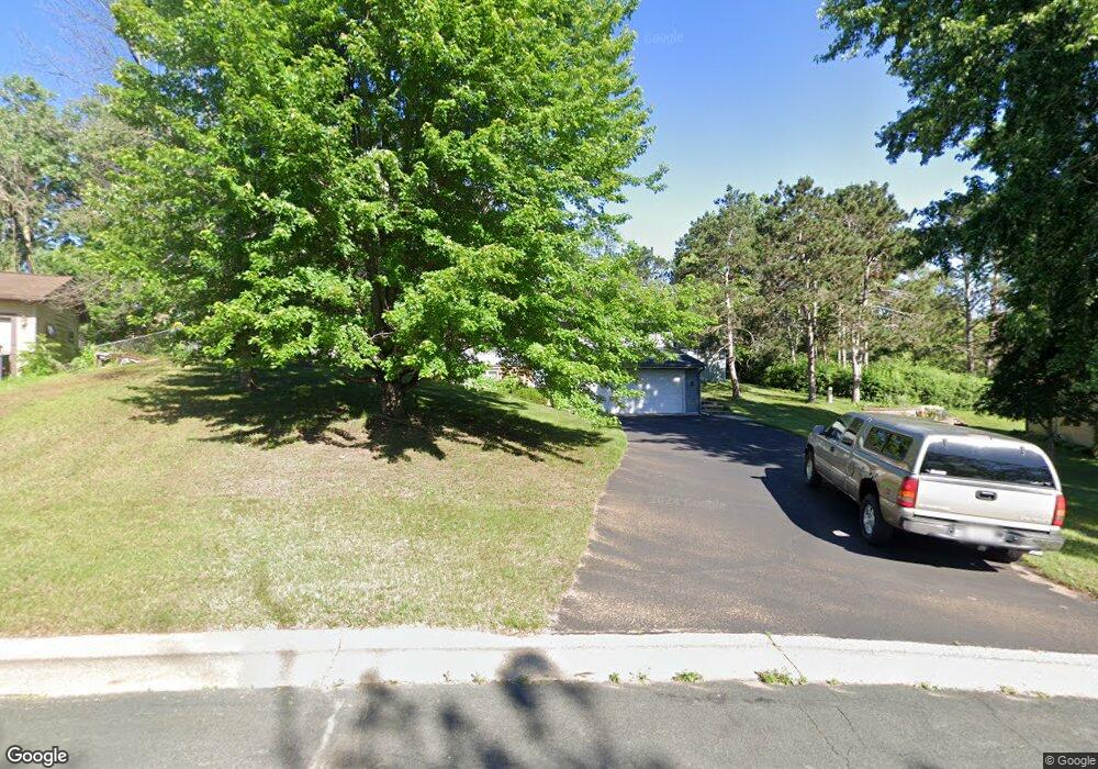
611 Cedar Dr N Hudson, WI 54016
Estimated Value: $341,000 - $425,000
Studio
--
Bath
--
Sq Ft
0.46
Acres
About This Home
This home is located at 611 Cedar Dr N, Hudson, WI 54016 and is currently estimated at $368,532. 611 Cedar Dr N is a home located in St. Croix County with nearby schools including North Hudson Elementary School, Hudson Middle School, and Hudson High School.
Ownership History
Date
Name
Owned For
Owner Type
Purchase Details
Closed on
Feb 16, 2005
Sold by
Evenson Ann M
Bought by
Evenson Donald V
Current Estimated Value
Home Financials for this Owner
Home Financials are based on the most recent Mortgage that was taken out on this home.
Original Mortgage
$132,000
Interest Rate
5.71%
Mortgage Type
New Conventional
Create a Home Valuation Report for This Property
The Home Valuation Report is an in-depth analysis detailing your home's value as well as a comparison with similar homes in the area
Home Values in the Area
Average Home Value in this Area
Purchase History
| Date | Buyer | Sale Price | Title Company |
|---|---|---|---|
| Evenson Donald V | -- | None Available |
Source: Public Records
Mortgage History
| Date | Status | Borrower | Loan Amount |
|---|---|---|---|
| Closed | Evenson Donald V | $132,000 |
Source: Public Records
Tax History
| Year | Tax Paid | Tax Assessment Tax Assessment Total Assessment is a certain percentage of the fair market value that is determined by local assessors to be the total taxable value of land and additions on the property. | Land | Improvement |
|---|---|---|---|---|
| 2024 | $38 | $295,300 | $67,600 | $227,700 |
| 2023 | $3,548 | $295,300 | $67,600 | $227,700 |
| 2022 | $3,768 | $295,300 | $67,600 | $227,700 |
| 2021 | $3,729 | $191,900 | $40,500 | $151,400 |
| 2020 | $3,495 | $191,900 | $40,500 | $151,400 |
| 2019 | $3,268 | $187,500 | $40,500 | $147,000 |
| 2018 | $3,271 | $187,500 | $40,500 | $147,000 |
| 2017 | $3,147 | $187,500 | $40,500 | $147,000 |
| 2016 | $3,147 | $187,500 | $40,500 | $147,000 |
| 2015 | $2,904 | $187,500 | $40,500 | $147,000 |
| 2014 | $2,877 | $187,500 | $40,500 | $147,000 |
| 2013 | $2,856 | $188,300 | $35,400 | $152,900 |
Source: Public Records
Map
Nearby Homes
- 602 Prairie Dr N
- 1031 Sommers St N
- 1029 Sommers St N
- 1102 Sommers St N
- 641 8th St N
- 1143 Sommers St N
- 888 Bluebird Ct N
- 214 Galahad Place N
- 312 Meadow Dr N
- 322 5th St N
- 811 Fox Tree Ln N
- 1205 Riverside Dr N
- 1205 Riverside Drive N
- 312 3rd St N
- 241 Starrwood
- 621 Mallalieu Dr
- 1233 7th St
- 1302 2nd St
- 1054 Cottonwood Dr
- 1129 7th St
- 609 Cedar Dr N
- 613 Cedar Dr N
- 622 10th St N
- 626 10th St N
- 607 607 Cedar-Drive-n
- 607 Cedar Dr N
- 608 Cedar Dr N
- 615 Cedar Dr N
- 630 10th St N
- 614 10th St N
- 606 Cedar Dr N
- 605 Cedar Dr N
- 612 Prairie Dr N
- 631 631 10th-Street-n
- 634 10th St N
- 610 10th St N
- 623 10th St N
- 604 Cedar Dr N
- 627 10th St N
- 619 10th St N
Your Personal Tour Guide
Ask me questions while you tour the home.