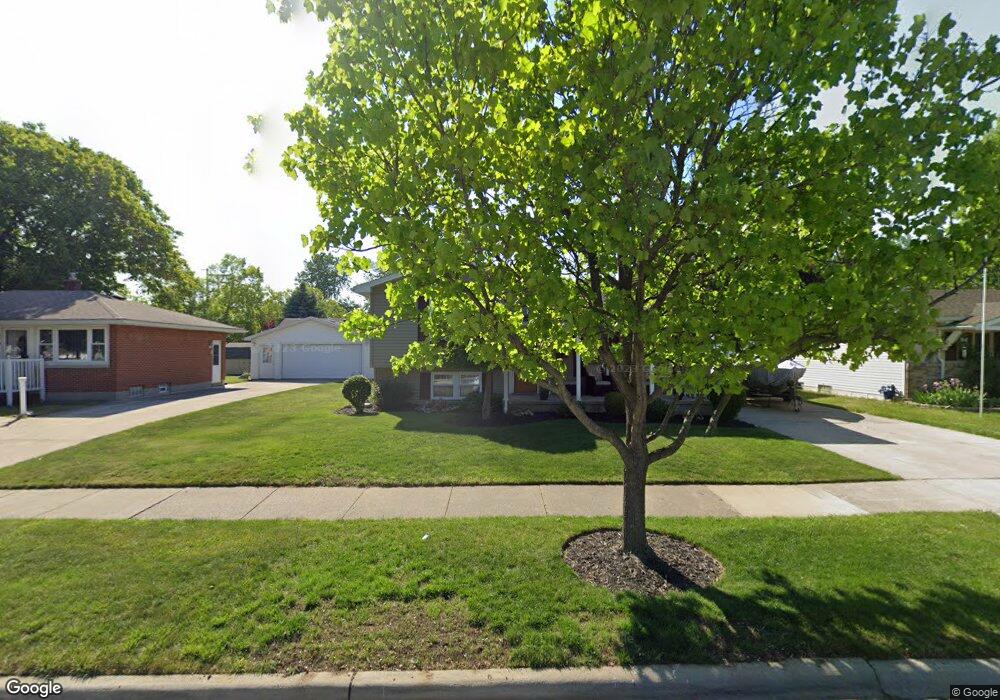
611 Dane Dr Monroe, MI 48162
Northwest Monroe NeighborhoodEstimated Value: $216,000 - $231,000
3
Beds
2
Baths
1,397
Sq Ft
$158/Sq Ft
Est. Value
About This Home
This home is located at 611 Dane Dr, Monroe, MI 48162 and is currently estimated at $221,424, approximately $158 per square foot. 611 Dane Dr is a home located in Monroe County with nearby schools including Monroe High School, St Mary's Catholic Elementary School, and St Michaels Catholic Elementary School.
Ownership History
Date
Name
Owned For
Owner Type
Purchase Details
Closed on
Jul 17, 1998
Sold by
Bell Michael A
Bought by
Payment Jeffrey G Annette E
Current Estimated Value
Home Financials for this Owner
Home Financials are based on the most recent Mortgage that was taken out on this home.
Original Mortgage
$100,000
Outstanding Balance
$20,732
Interest Rate
7.15%
Mortgage Type
New Conventional
Estimated Equity
$200,692
Purchase Details
Closed on
Feb 14, 1996
Sold by
Jones William S
Bought by
Bell Michael A and Bell Julie M
Home Financials for this Owner
Home Financials are based on the most recent Mortgage that was taken out on this home.
Original Mortgage
$94,950
Interest Rate
7.07%
Mortgage Type
New Conventional
Create a Home Valuation Report for This Property
The Home Valuation Report is an in-depth analysis detailing your home's value as well as a comparison with similar homes in the area
Home Values in the Area
Average Home Value in this Area
Purchase History
| Date | Buyer | Sale Price | Title Company |
|---|---|---|---|
| Payment Jeffrey G Annette E | $126,900 | -- | |
| Bell Michael A | $105,500 | -- |
Source: Public Records
Mortgage History
| Date | Status | Borrower | Loan Amount |
|---|---|---|---|
| Open | Payment Jeffrey G Annette E | $100,000 | |
| Previous Owner | Bell Michael A | $94,950 |
Source: Public Records
Tax History
| Year | Tax Paid | Tax Assessment Tax Assessment Total Assessment is a certain percentage of the fair market value that is determined by local assessors to be the total taxable value of land and additions on the property. | Land | Improvement |
|---|---|---|---|---|
| 2025 | $2,145 | $106,000 | $106,000 | $0 |
| 2024 | $2,048 | $104,010 | $0 | $0 |
| 2023 | $1,959 | $85,870 | $0 | $0 |
| 2022 | $2,609 | $85,870 | $0 | $0 |
| 2021 | $2,520 | $77,850 | $0 | $0 |
| 2020 | $2,347 | $77,350 | $0 | $0 |
| 2019 | $2,224 | $77,350 | $0 | $0 |
| 2018 | $2,161 | $62,620 | $0 | $0 |
| 2017 | $2,117 | $62,620 | $0 | $0 |
| 2016 | $2,066 | $53,260 | $0 | $0 |
| 2015 | $2,139 | $55,940 | $0 | $0 |
| 2014 | $2,139 | $55,940 | $0 | $0 |
| 2013 | -- | $60,780 | $0 | $0 |
Source: Public Records
Map
Nearby Homes
- 664 Central Park Blvd
- 568 Rose Crest Blvd
- 505 John Anderson Ct Unit 62
- 1015 Donnalee Dr
- 469 Bentley Dr
- 202 Orleans Ave
- 510 Ave de Lafayette
- 329 Cranbrook Blvd
- 1248 N Telegraph Rd
- 445 Toll St
- 0 N Telegraph Rd Unit 31361948
- 0 N Telegraph Rd Unit 20230102531
- 0 N Telegraph Rd Unit 50199091
- 745 N Roessler St
- 540 S Concetta Common
- 1234 John L Dr
- 1724 S Custer Rd
- 1910 S Custer Rd
- 1703 S Custer Rd
- 2706 S Custer Rd
Your Personal Tour Guide
Ask me questions while you tour the home.