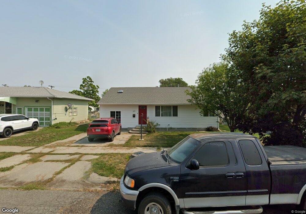
611 Date Ave Laurel, MT 59044
Estimated Value: $301,000 - $316,740
About This Home
This home is located at 611 Date Ave, Laurel, MT 59044 and is currently estimated at $309,435, approximately $254 per square foot. 611 Date Ave is a home located in Yellowstone County with nearby schools including Fred W. Graff School, West School, and Laurel Middle School.
Ownership History
We collect this data history from publicly available records. To have your information removed, we recommend requesting removal directly through your county’s website.
Purchase Details
Home Financials for this Owner
Home Financials are based on the most recent Mortgage that was taken out on this home.Purchase Details
Purchase Details
Home Financials for this Owner
Home Financials are based on the most recent Mortgage that was taken out on this home.Purchase Details
Home Financials for this Owner
Home Financials are based on the most recent Mortgage that was taken out on this home.Home Values in the Area
Average Home Value in this Area
Purchase History
We collect this data history from publicly available records. To have your information removed, we recommend requesting removal directly through your county’s website.
| Date | Buyer | Sale Price | Title Company |
|---|---|---|---|
| -- | First Montana Title | ||
| -- | American Title & Escrow | ||
| -- | St | ||
| -- | None Available |
Mortgage History
We collect this data history from publicly available records. To have your information removed, we recommend requesting removal directly through your county’s website.
| Date | Status | Borrower | Loan Amount |
|---|---|---|---|
| Open | $295,000 | ||
| Previous Owner | $161,273 | ||
| Previous Owner | $154,900 |
Tax History
We collect this data history from publicly available records. To have your information removed, we recommend requesting removal directly through your county’s website.
| Year | Tax Paid | Tax Assessment Tax Assessment Total Assessment is a certain percentage of the fair market value that is determined by local assessors to be the total taxable value of land and additions on the property. | Land | Improvement |
|---|---|---|---|---|
| 2025 | $2,310 | $295,300 | $56,449 | $238,851 |
| 2024 | $2,310 | $235,000 | $36,672 | $198,328 |
| 2023 | $2,131 | $235,000 | $36,672 | $198,328 |
| 2022 | $1,607 | $192,600 | $0 | $0 |
| 2021 | $1,866 | $192,600 | $0 | $0 |
| 2020 | $1,813 | $186,300 | $0 | $0 |
| 2019 | $1,814 | $186,300 | $0 | $0 |
| 2018 | $1,780 | $172,400 | $0 | $0 |
| 2017 | $1,468 | $172,400 | $0 | $0 |
| 2016 | $1,454 | $151,200 | $0 | $0 |
| 2015 | $1,437 | $151,200 | $0 | $0 |
| 2014 | $1,408 | $77,856 | $0 | $0 |
Map
- 1115 Sunhaven Dr
- 506 Date Ave
- 1313 E Main St
- 723 Juniper Ave
- 1110 Fir Ave
- 406 Roundhouse Dr
- 120 E Maryland Ln
- 1001 Montana Ave
- 1003 Montana Ave
- 106 E 6th St
- 119 W 9th St
- 975 Rockfork Cir
- 1034 1st Ave
- 218 W Maryland Ln
- 2408 E Maryland Ln
- 1545 Green Bluff Ave
- 302 3rd Ave
- 926 5th Ave
- 515 6th Ave
- 114 Woodland Ave
Ask me questions while you tour the home.