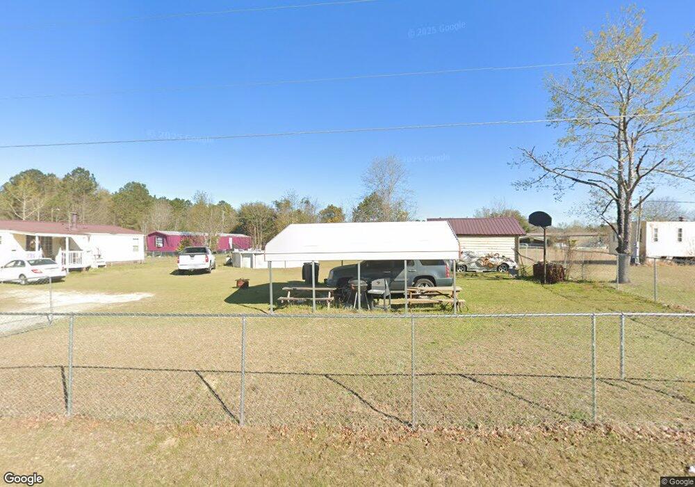
611 Dusty Dr Orangeburg, SC 29115
Estimated Value: $109,000 - $129,000
3
Beds
2
Baths
1,070
Sq Ft
$109/Sq Ft
Est. Value
About This Home
This home is located at 611 Dusty Dr, Orangeburg, SC 29115 and is currently estimated at $117,130, approximately $109 per square foot. 611 Dusty Dr is a home located in Orangeburg County with nearby schools including Edisto Primary, Edisto Primary School, and Edisto Elementary School.
Ownership History
Date
Name
Owned For
Owner Type
Purchase Details
Closed on
Jun 24, 2022
Sold by
Thomas Bobby D and Thomas Shirley A
Bought by
Dantzler Blondie Jean
Current Estimated Value
Home Financials for this Owner
Home Financials are based on the most recent Mortgage that was taken out on this home.
Original Mortgage
$91,315
Outstanding Balance
$86,757
Interest Rate
5.1%
Mortgage Type
FHA
Estimated Equity
$30,373
Purchase Details
Closed on
Feb 27, 2019
Sold by
Dean Thomas Bobby and Estate Of Frances L Thomas
Bought by
Thomas Bobby D and Welch Shirley A
Create a Home Valuation Report for This Property
The Home Valuation Report is an in-depth analysis detailing your home's value as well as a comparison with similar homes in the area
Home Values in the Area
Average Home Value in this Area
Purchase History
| Date | Buyer | Sale Price | Title Company |
|---|---|---|---|
| Dantzler Blondie Jean | $93,000 | Dial Firm Llc | |
| Thomas Bobby D | -- | None Available |
Source: Public Records
Mortgage History
| Date | Status | Borrower | Loan Amount |
|---|---|---|---|
| Open | Dantzler Blondie Jean | $91,315 |
Source: Public Records
Tax History Compared to Growth
Tax History
| Year | Tax Paid | Tax Assessment Tax Assessment Total Assessment is a certain percentage of the fair market value that is determined by local assessors to be the total taxable value of land and additions on the property. | Land | Improvement |
|---|---|---|---|---|
| 2024 | $327 | $3,700 | $540 | $3,160 |
| 2023 | $301 | $3,700 | $364 | $3,336 |
| 2022 | $1,509 | $3,883 | $547 | $3,336 |
| 2021 | $1,509 | $3,883 | $547 | $3,336 |
| 2020 | $1,384 | $3,883 | $0 | $0 |
| 2019 | $432 | $3,883 | $0 | $0 |
| 2018 | $373 | $2,500 | $364 | $2,136 |
| 2017 | $57 | $2,500 | $0 | $0 |
| 2016 | $57 | $2,500 | $0 | $0 |
| 2015 | $54 | $2,500 | $0 | $0 |
| 2014 | $54 | $2,501 | $365 | $2,136 |
| 2013 | -- | $2,552 | $364 | $2,188 |
Source: Public Records
Map
Nearby Homes
- 0 Dragstrip Rd Unit 4 616848
- 0 Dragstrip Rd Unit 2 616843
- 0 Dragstrip Rd Unit 5 616847
- 0 Dragstrip Rd Unit 3 616845
- 0 Dragstrip Rd Unit 621214
- 248 State Road S-38-1695
- 118 Leslie Cir
- 000 Beason Rd
- 109 Hillock Ct
- 334 Gospel Hill Ct
- 0 0 C 2167 Unit 25029594
- 3000 & 3010 Bermuda Dr
- 137 Pauline Ct
- 179 Gospel Hill Ct
- 3000 Bermuda Dr
- 3010 Bermuda Dr
- 1205 Shillings Bridge Rd
- 0 Pandanus Rd
- 0 Shillings Bridge Rd
- 812 Shillings Bridge Rd